Death Valley National Park, 25–28 March
My cousins gather in Las Vegas every now and then, and this time it worked out for us to join them. We flew down several days early so we could spend some time in Death Valley National Park.
25 March
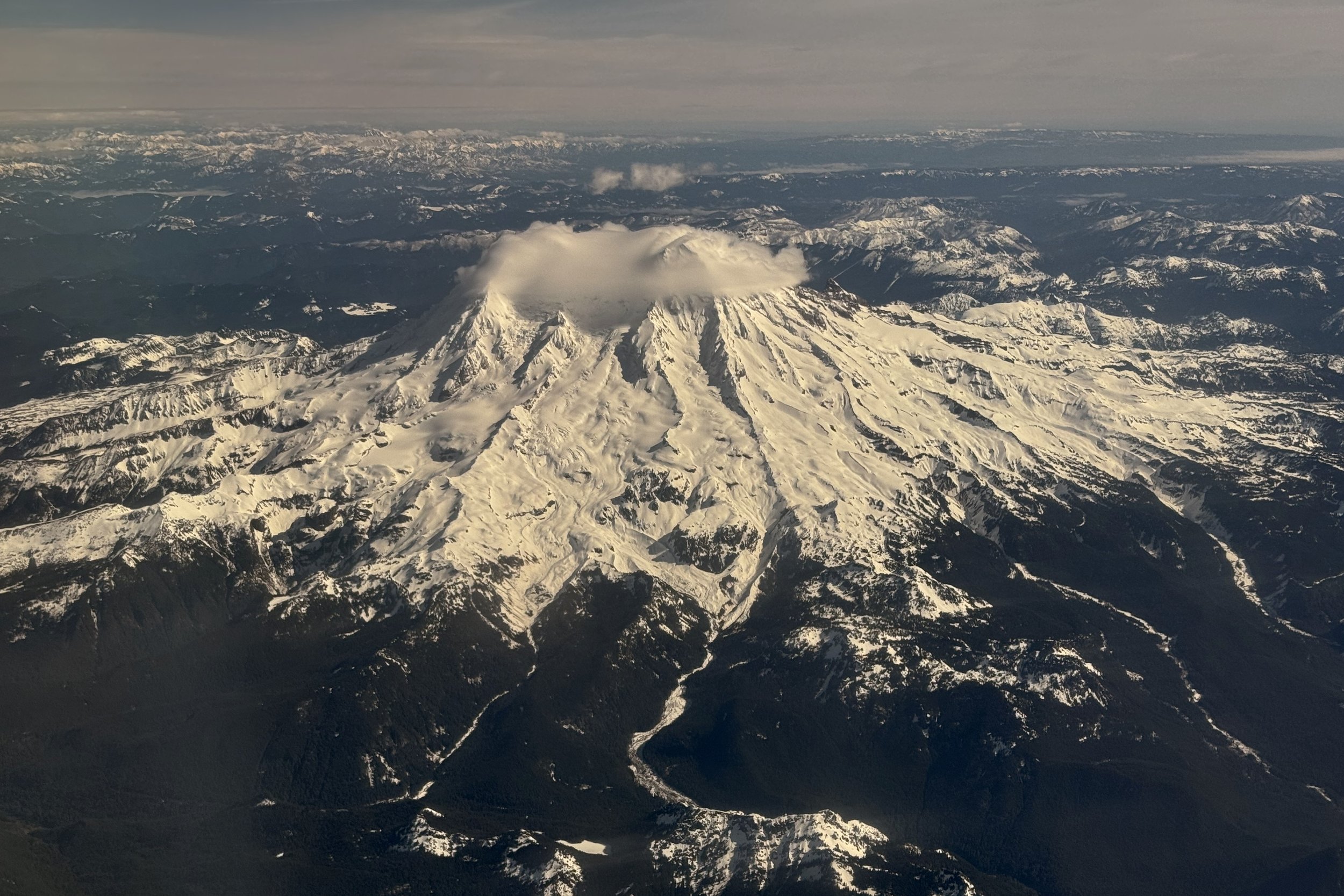
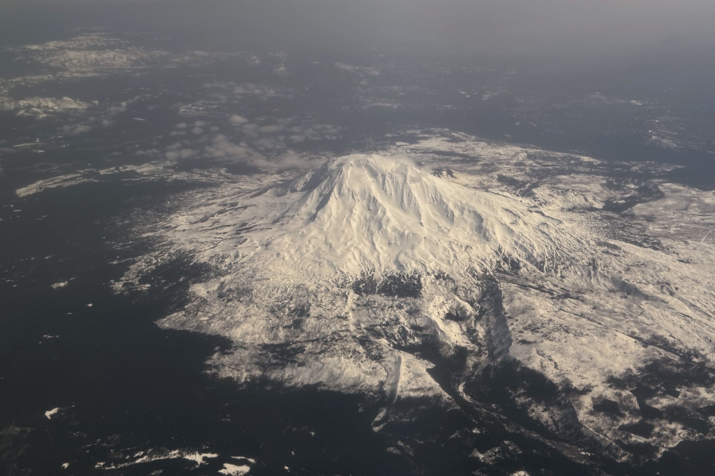
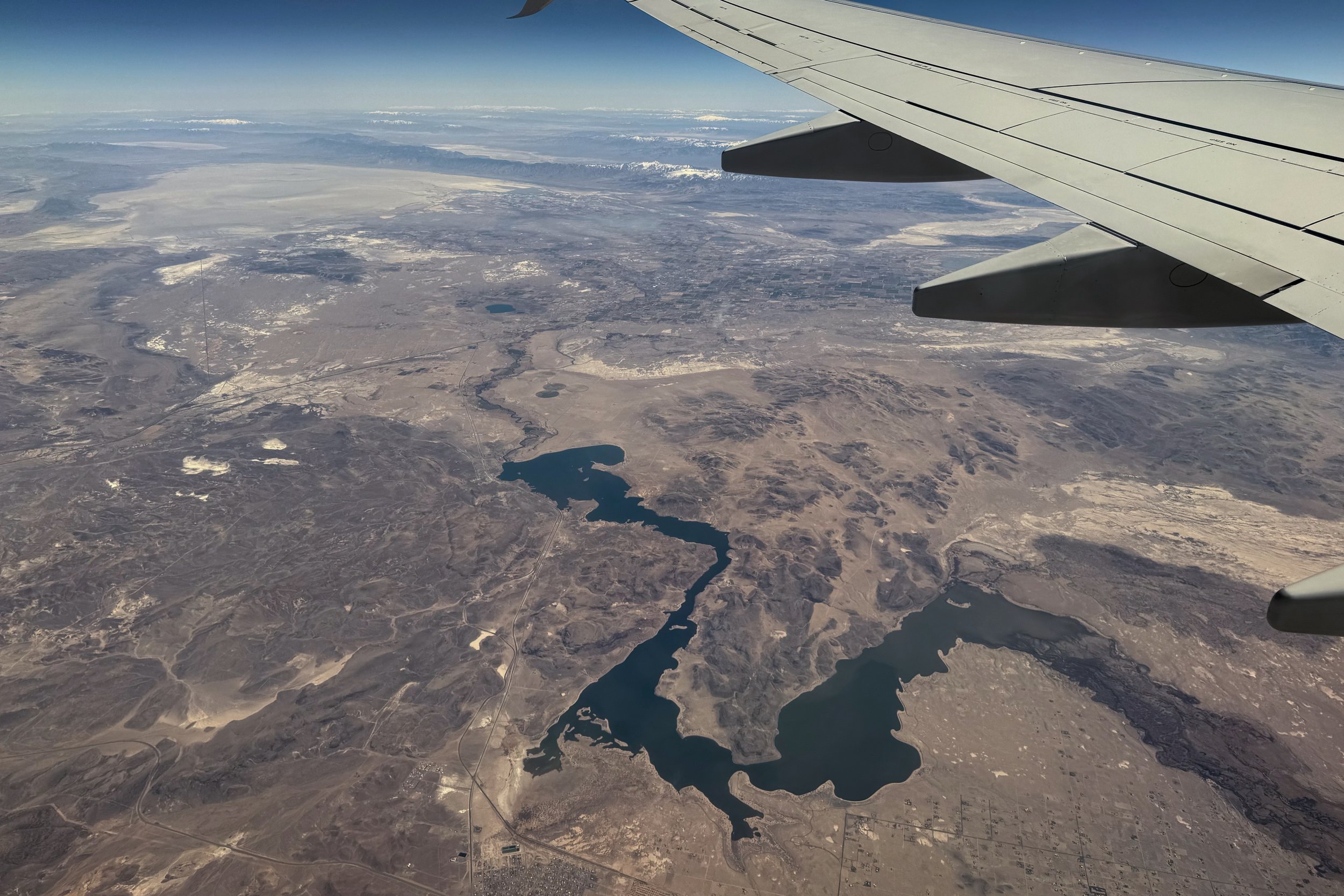
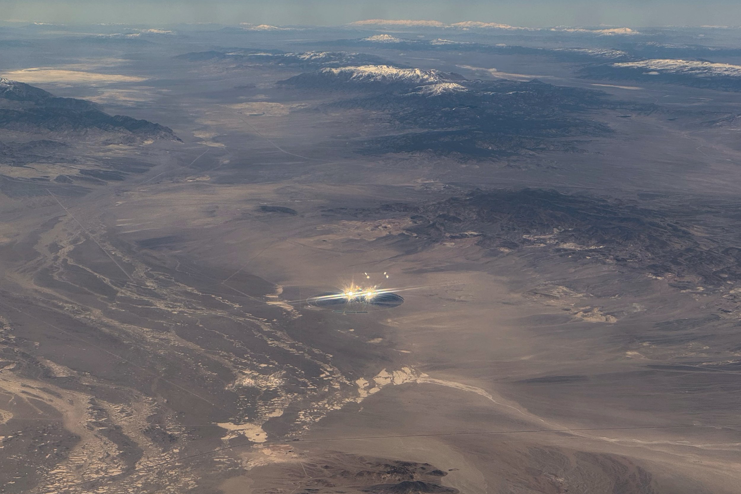
Our flight from Seattle to Las Vegas was uneventful, and we got great views of Mt. Rainier and Mt. Adams. We also saw a strange glare out the window, which was a mine with either buildings or equipment, which caused the glare. Considering the location, it seemed to be a better story that it was a UFO. After landing, we got our rental car and headed towards Amargosa Valley, where we would be staying. We grabbed an early dinner before finding where we were staying.
Amargosa Valley
We were going to spend several days in Death Valley, so we wanted to find a place to stay that wasn’t too expensive. However, we knew we would want to have access to power, Wi-Fi, and a refrigerator. We ended up staying at a camping site to the east of the park, just into Nevada. We booked one of the glamping trailers, which worked out well. The trailer itself is very small; a double mattress barely fits inside. There are shelves to store things, and we were able to keep larger things in the car. There were toilets and a shower, as well as a dining hall with a shared refrigerator. Pretty bare-bones, but it worked out well for us.
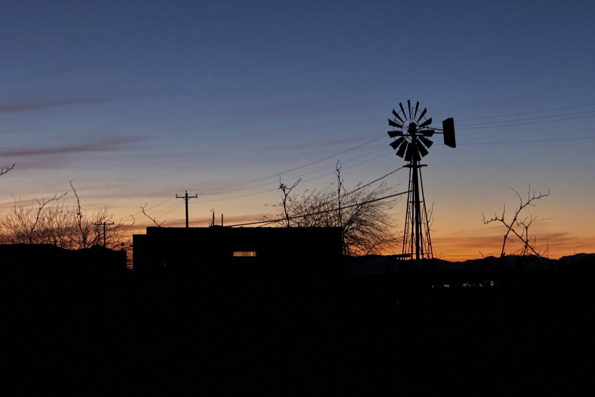
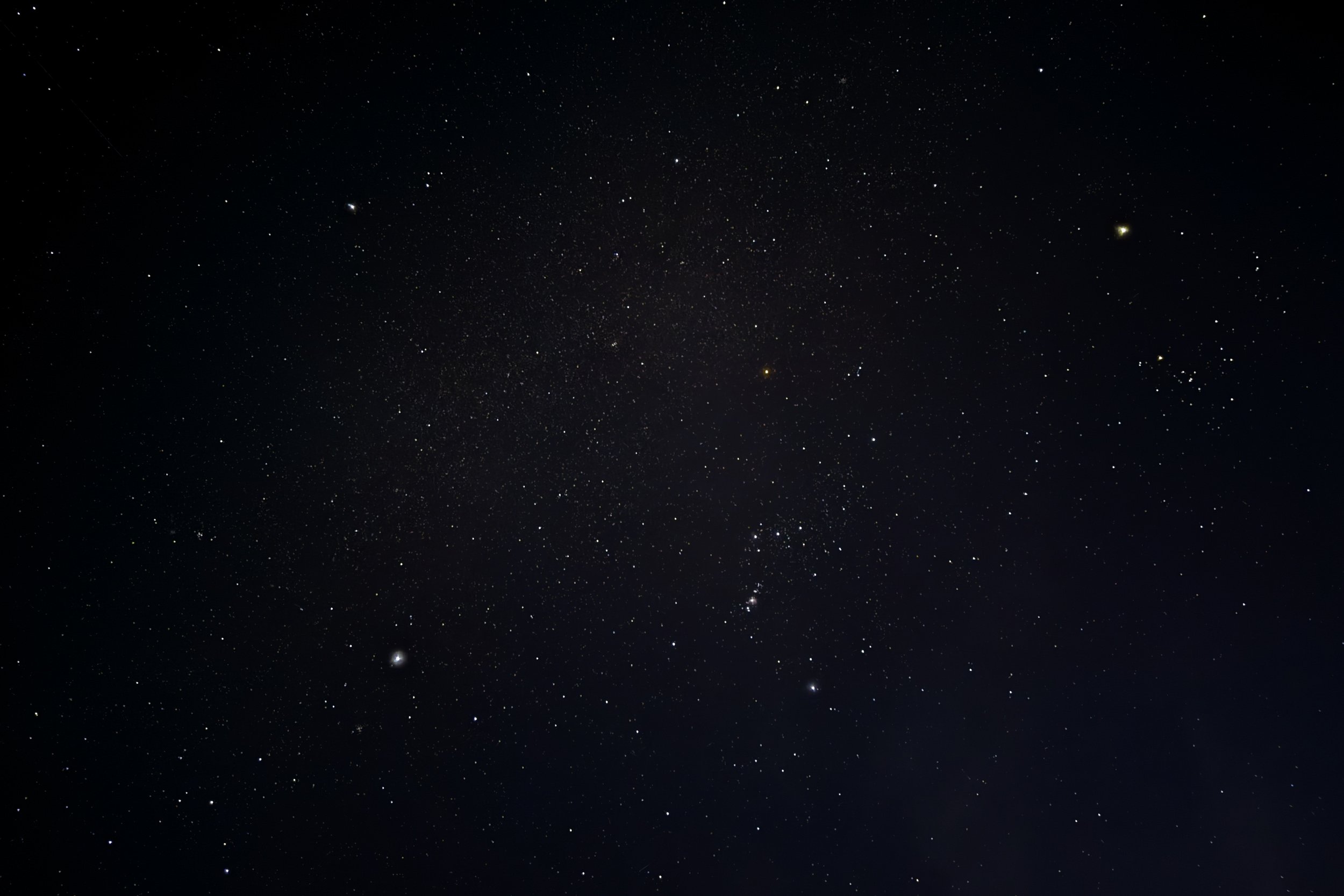
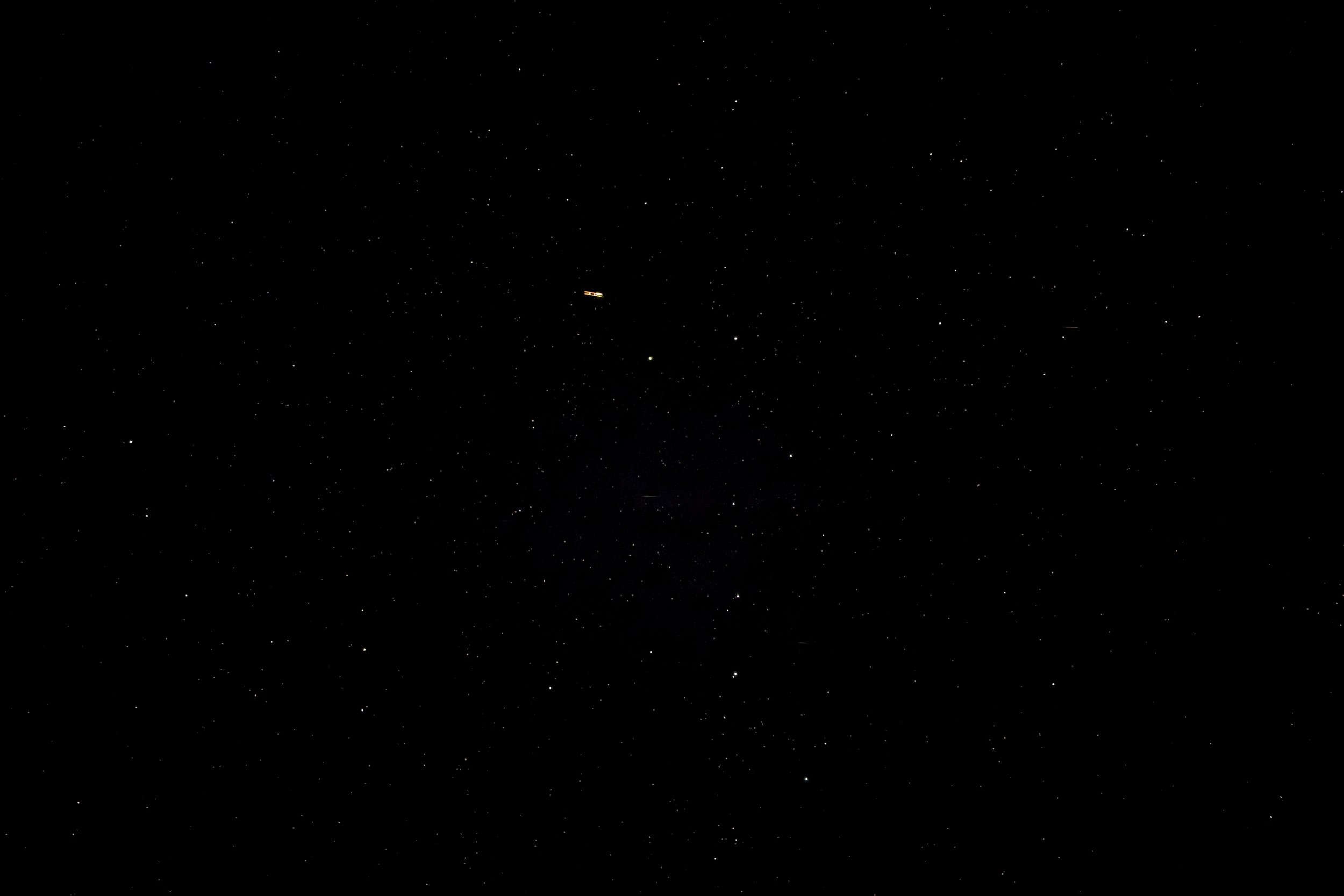
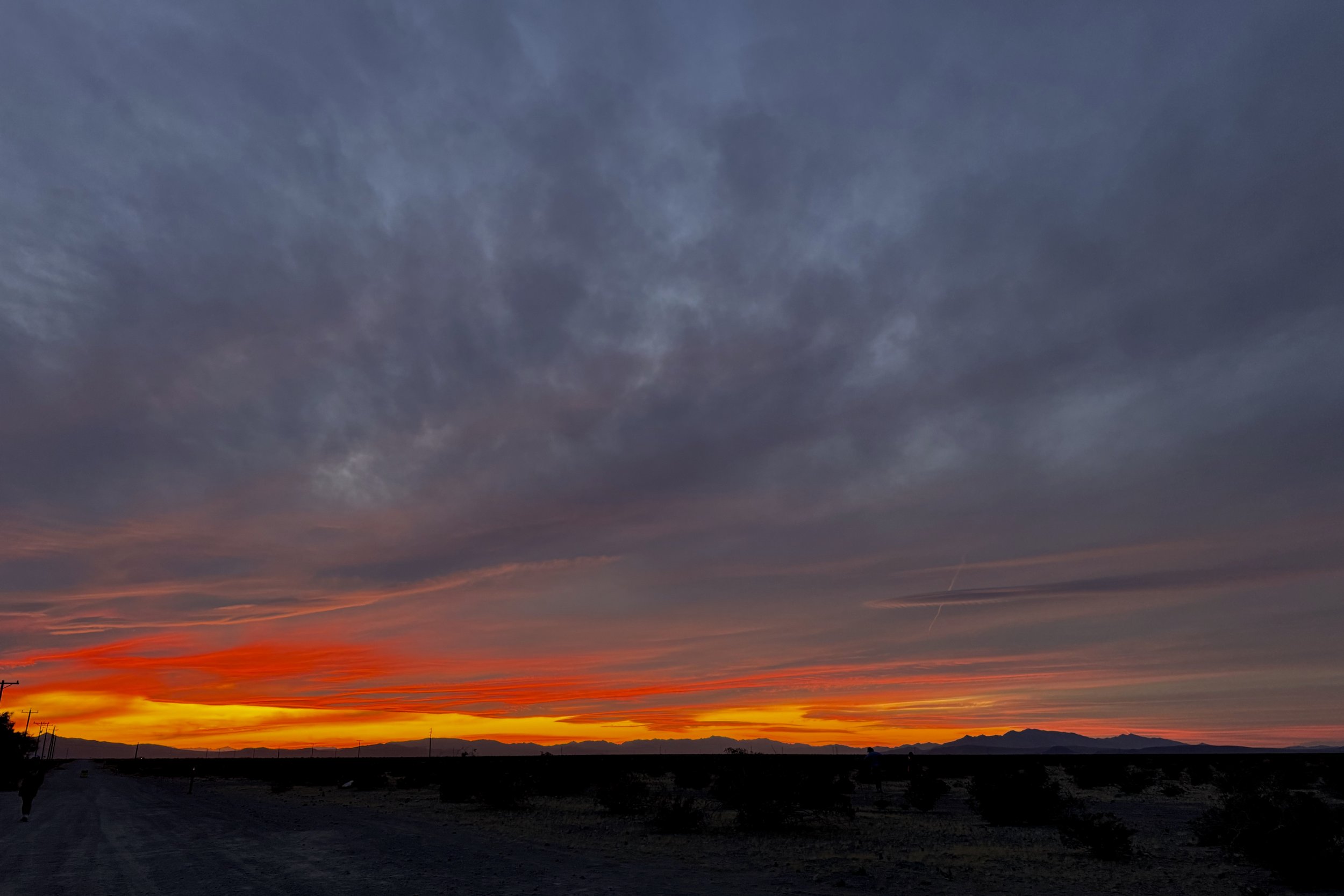
For the first coupleof nights the skies were very clear so we were able to see a lot of stars. We could also see the glow of Las Vegas low on the horizon. The sunrises and sunsets were also very spectacular.
26 March
This was going to be the hottest day of our stay, and we were going to a couple of places in the northern part of the park. We got an early start and started driving to the park. There was some road work being done, so we needed to take a bit of a detour, which included a section of one-lane road. Fortunately, we got there just before our direction was led across the one-lane segment, so it wasn’t much of a wait.
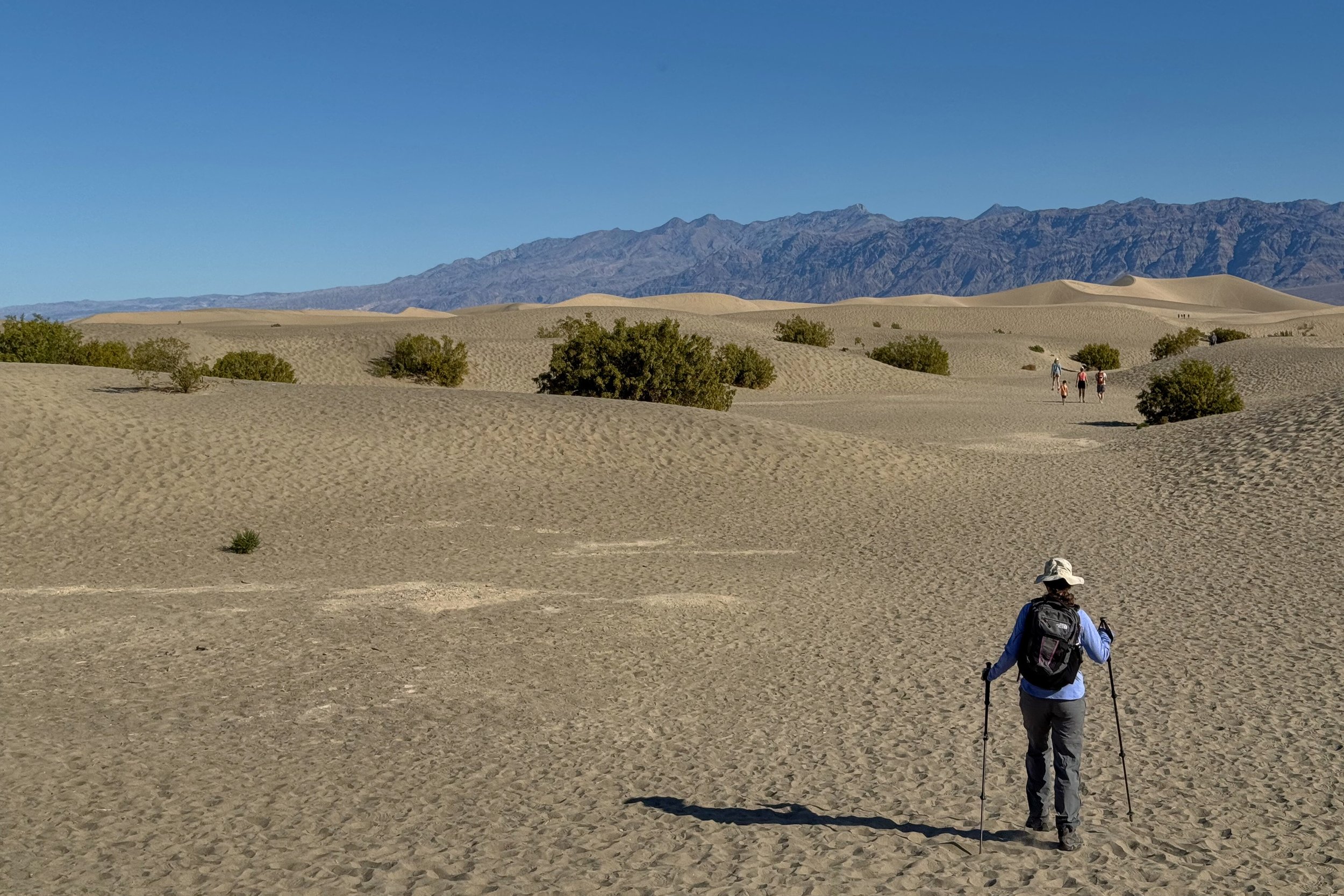
Mesquite Flats Sand Dunes
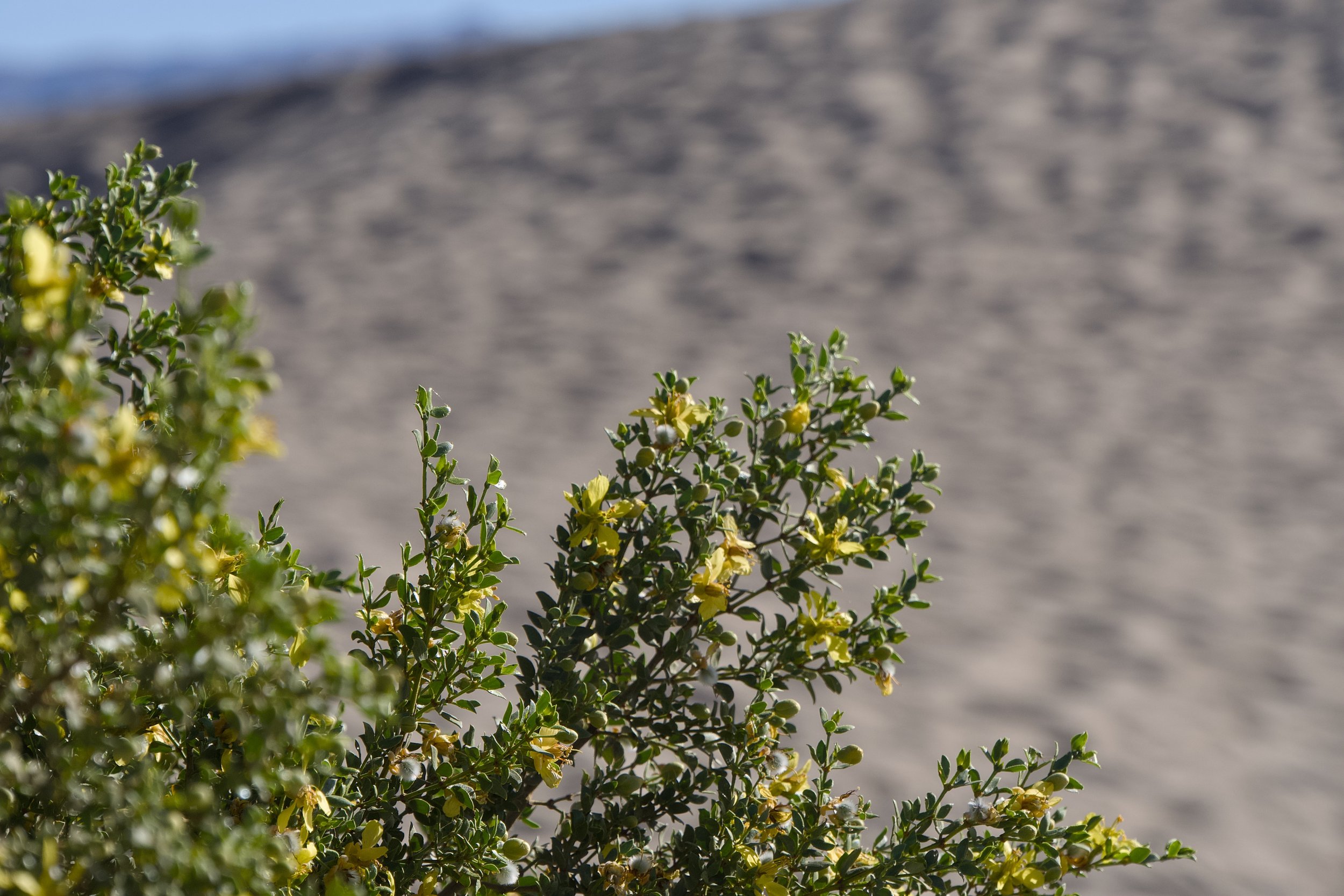
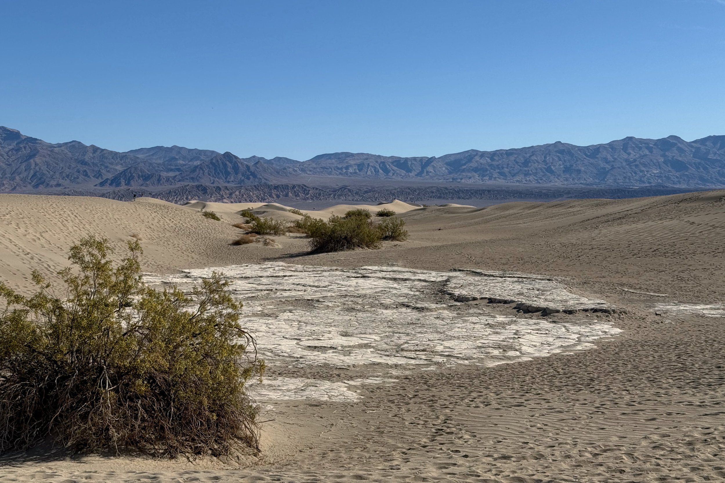
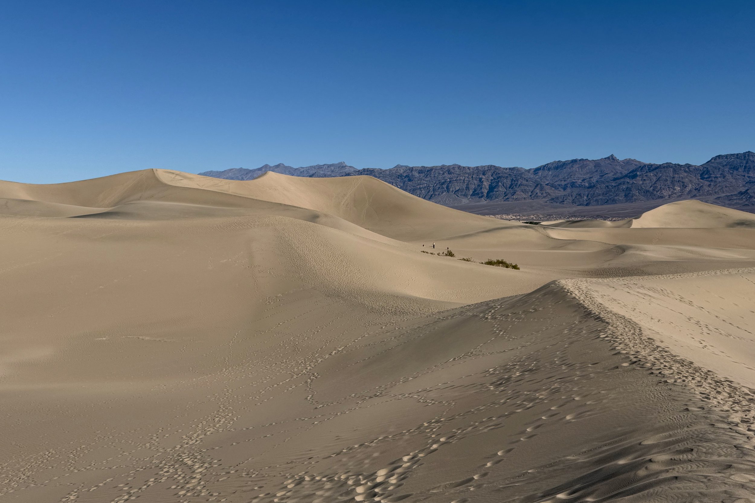
Our first destination was Mesquite Flats Sand Dunes, since we wanted to walk around them before the temperature got too hot. Since these are sand dunes, there aren’t trails, but you just walk out as far as you want. We did some going over dunes and walking along a ridge until we felt it was time to turn around. Going up was quite a bit of work, while going down was very fast.

Ubehebe Crater
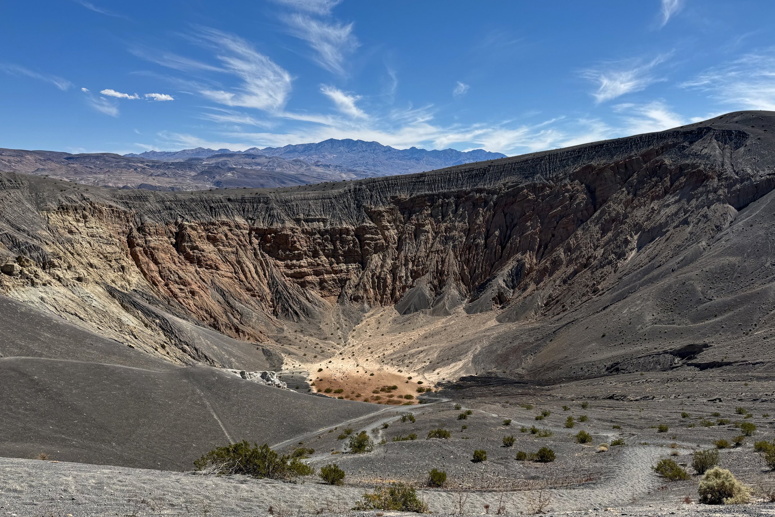
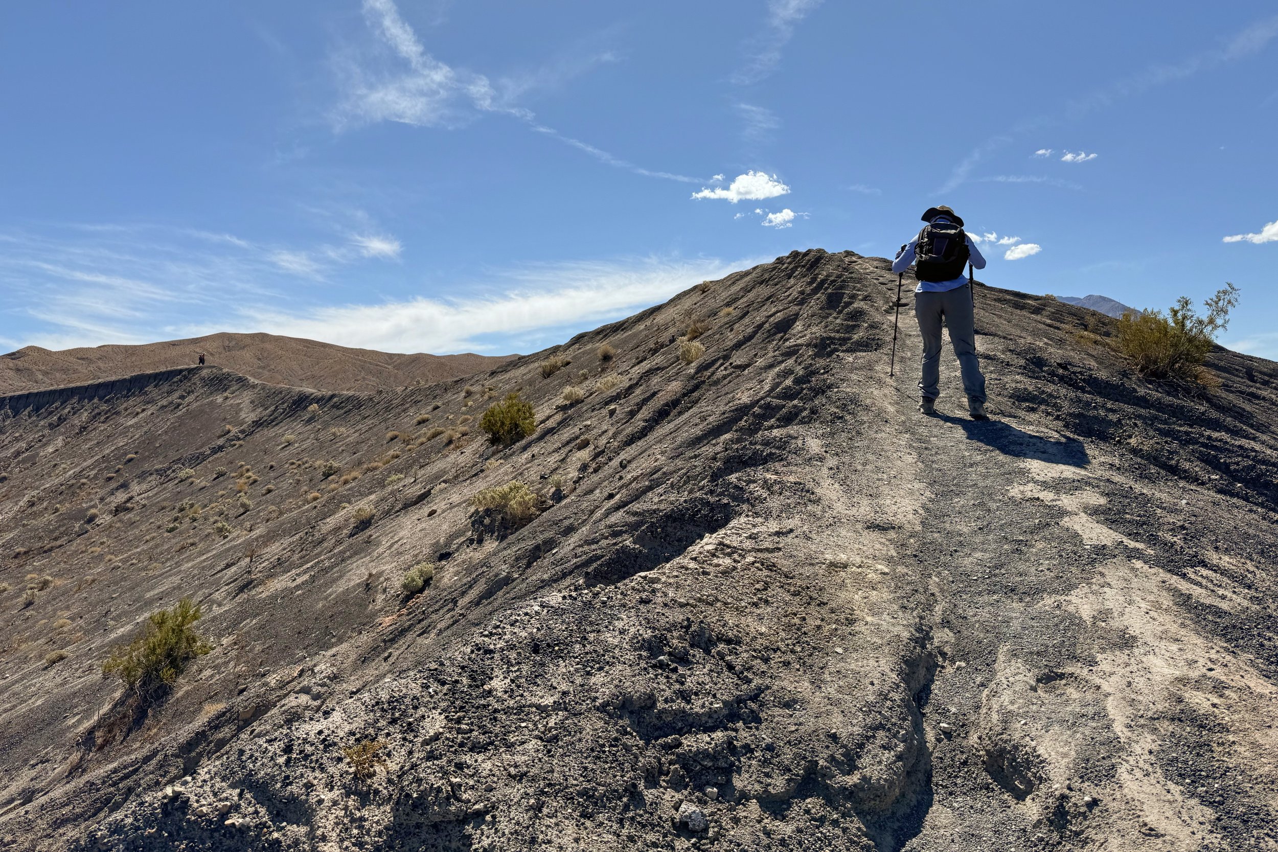
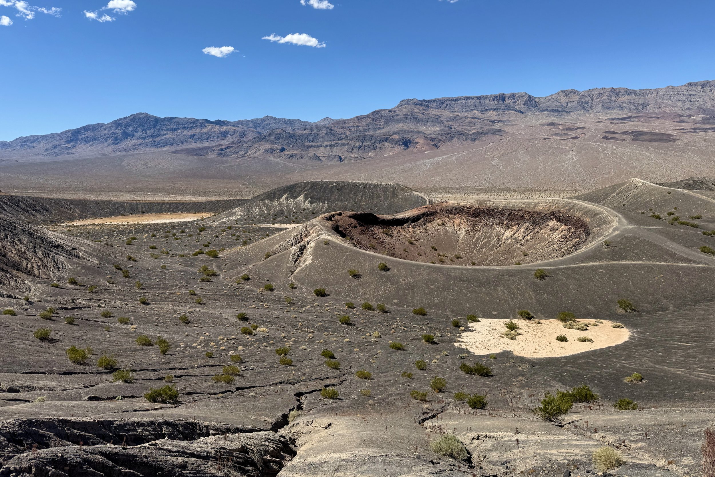
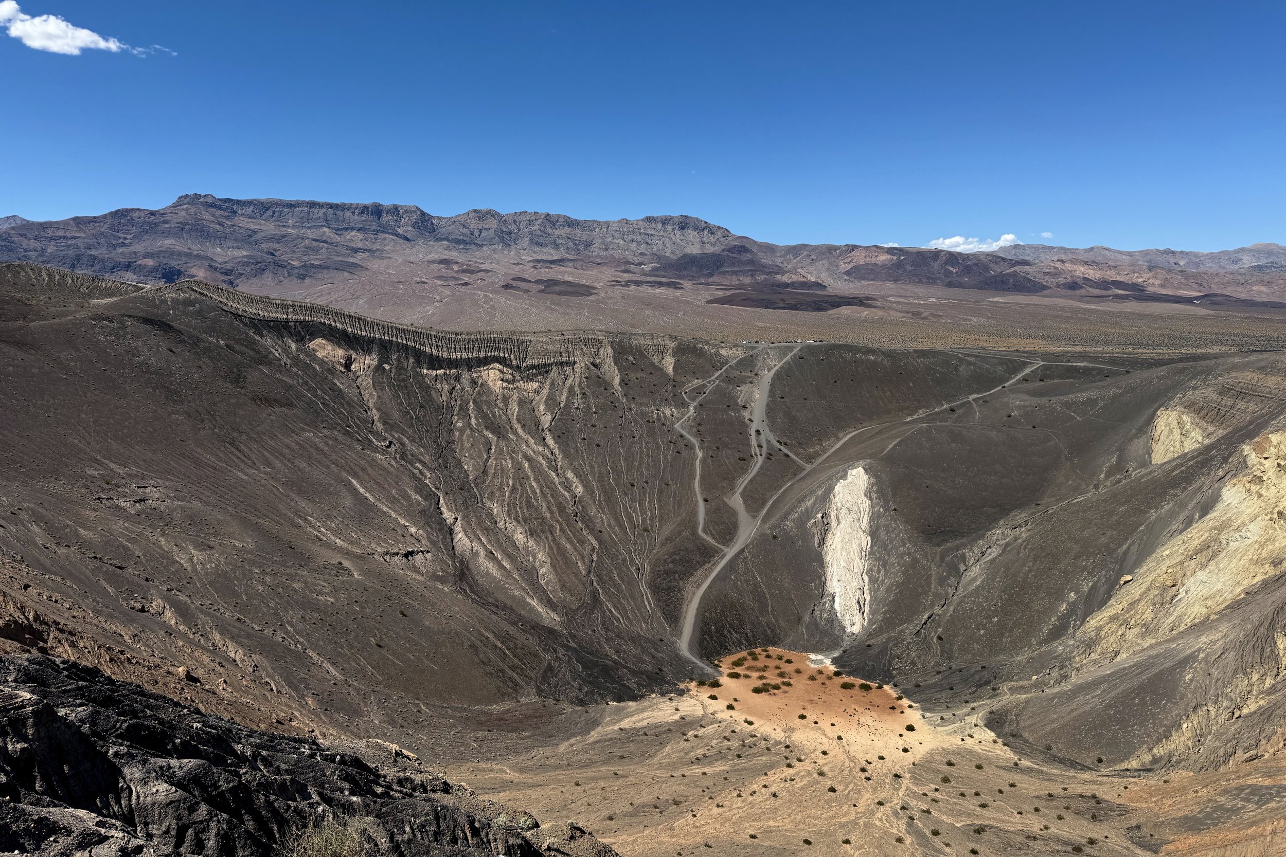
Our next destination was Ubehebe Crater, which was even further north in the park. After parking, it was only a few steps before we could see the entire crater. We knew we wanted to do the loop around the rim so we started climbing. There was one section where we could go down a bit and cut across or go up and get a look at a smaller crater, Little Hebe. We went up and it wasn’t too long before we were on a relatively narrow part of the rim. While we didn’t take the part of the loop that takes you right by Little Hebe, we were able to see it from where we were.
After joining with the other part of the trail, we continued around the back part of the rim and could see how different sides of the crater looked very different. We saw volcanic ash, basalt, sandstone, and other rock blasted out during the most recent explosion.
It was very windy at the crater, mostly at the parking lot. There was still quite a bit of wind as we worked our way around, but we were able to keep our hats on our heads.
Later on, we were talking with the host at the campground who said that not too long ago a woman fell into the crater. Sounds like she wasn’t too badly off, and people were able to help her out. With all the wind and parts of the rim which are a narrow trail, it’s not hard to see how that happened.
Stovepipe Wells
We were ready for a late lunch, so we went to Stovepipe Wells Village to eat. After that, we decided to check out the market that wasn’t too far from the campground, so we headed out. We once again lucked out with the road work, and our direction started out only a few seconds after we got into line.
The market did have a lot of things there, but we found the food options to be pretty limited. We found something, though, then headed to the gas station and then went into the gas station market to flesh out our dinner.
We got back and were happy to see the shower was available. We didn’t eat dinner too late, even with the late lunch, since we knew we wanted to wake up early the next day.
27 March
This was going to be our longest hike, so we woke up early again to avoid most of the heat. It wasn’t supposed to be as hot as the day before, which also worked in our favor.
Golden Canyon to Zabriskie Point
The loop we were going to do is actually two loops put together. One option was to start at Zabriskie Point, but we chose to start at Golden Canyon. That way, we would get the climbing out of the way earlier, hopefully before the temperature rose too high.
The southern part of the park was a more direct route from the campground, so it was a relatively quick drive. We found the marked spots in the parking lot all taken, but there was plenty of space along the edges.
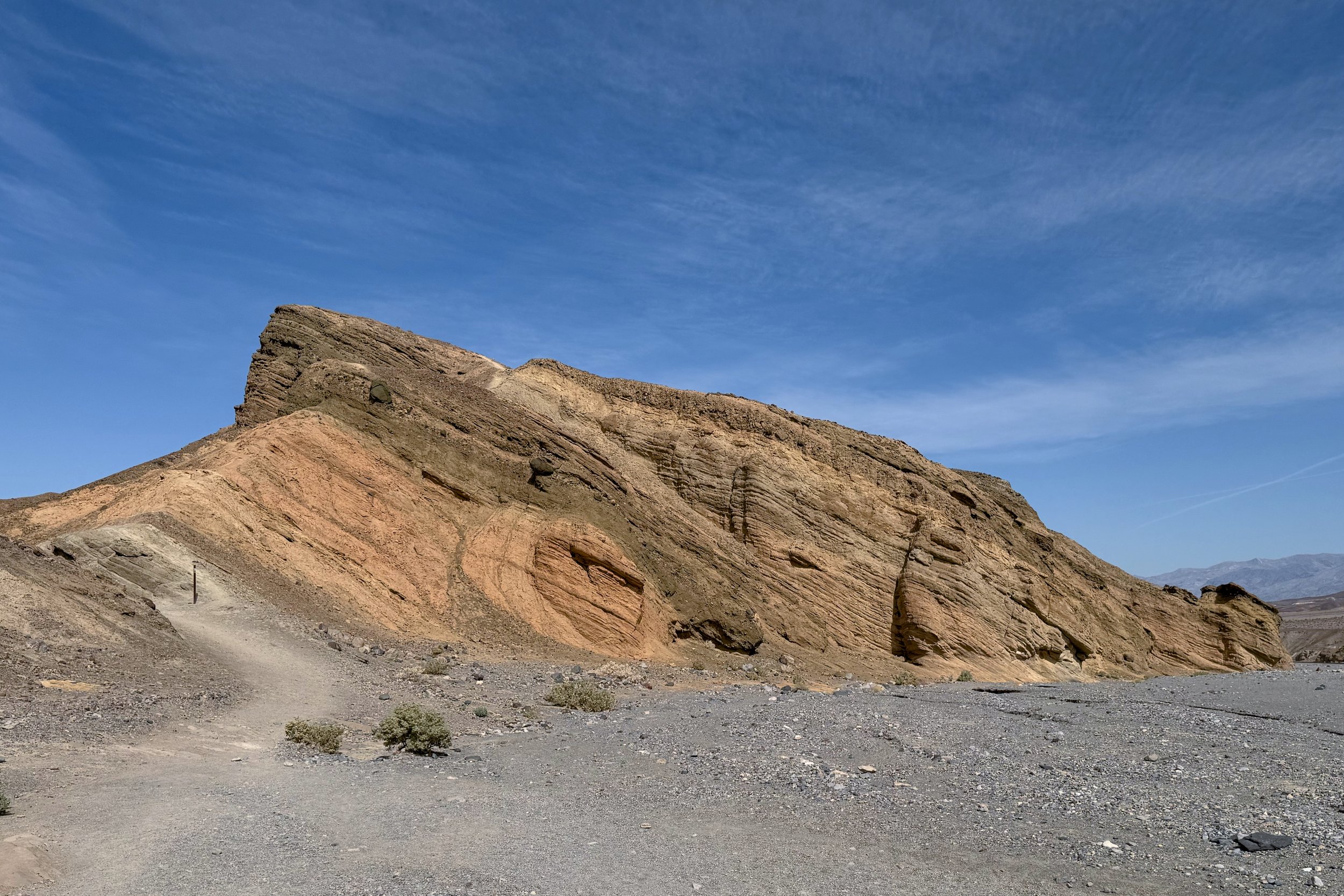
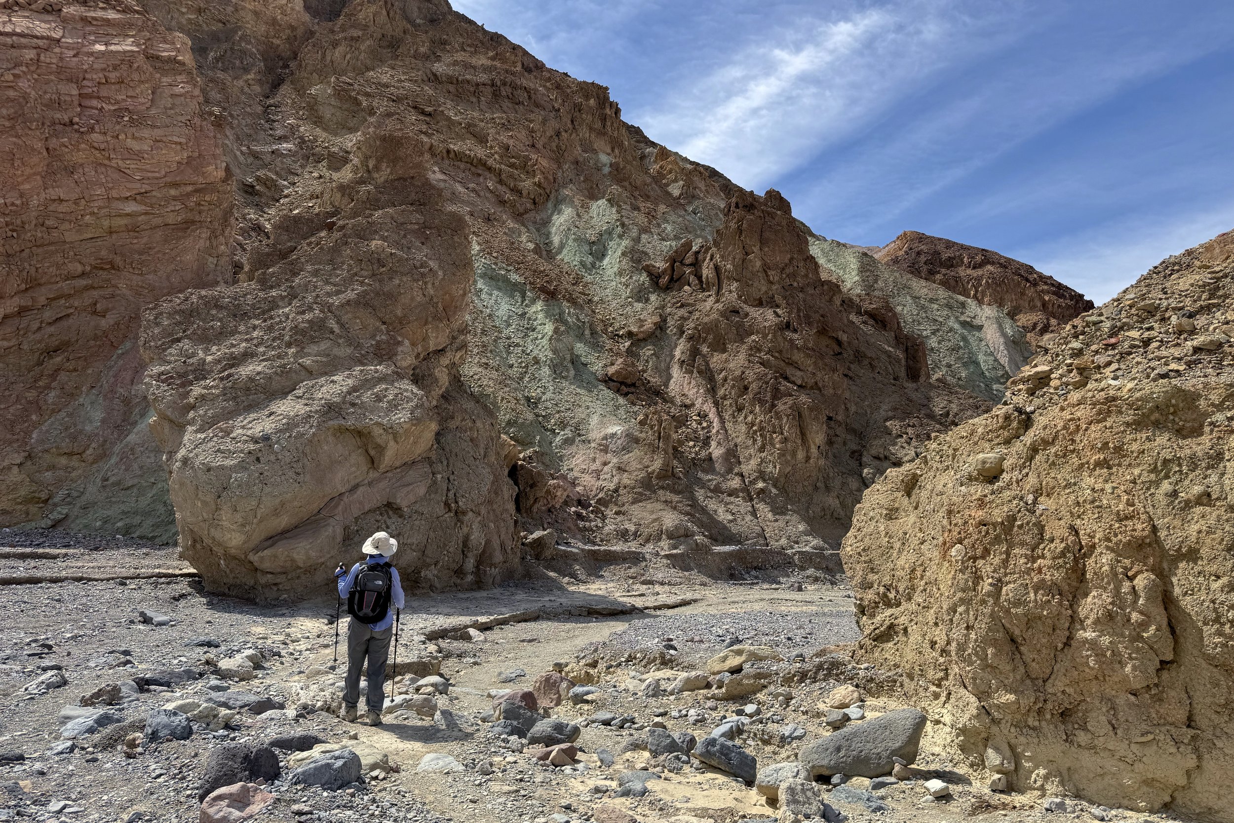
The early part of the hike was through Golden Canyon, and the weather was overcast, so we didn’t feel the slight incline. We then took a spur off the trail to take a look at Red Cathedral, which looked quite spectacular. There was a bit of scrambling towards the end of the spur, so I went most of the way, grabbed a photo, then backed down. There was another route that another couple took, and they said that it was slow going. Since we wanted to get going before the clouds completely burned off, we decided that we got a good enough look and went back to the main trail, which at that point changes into the Gower Gulch Trail.
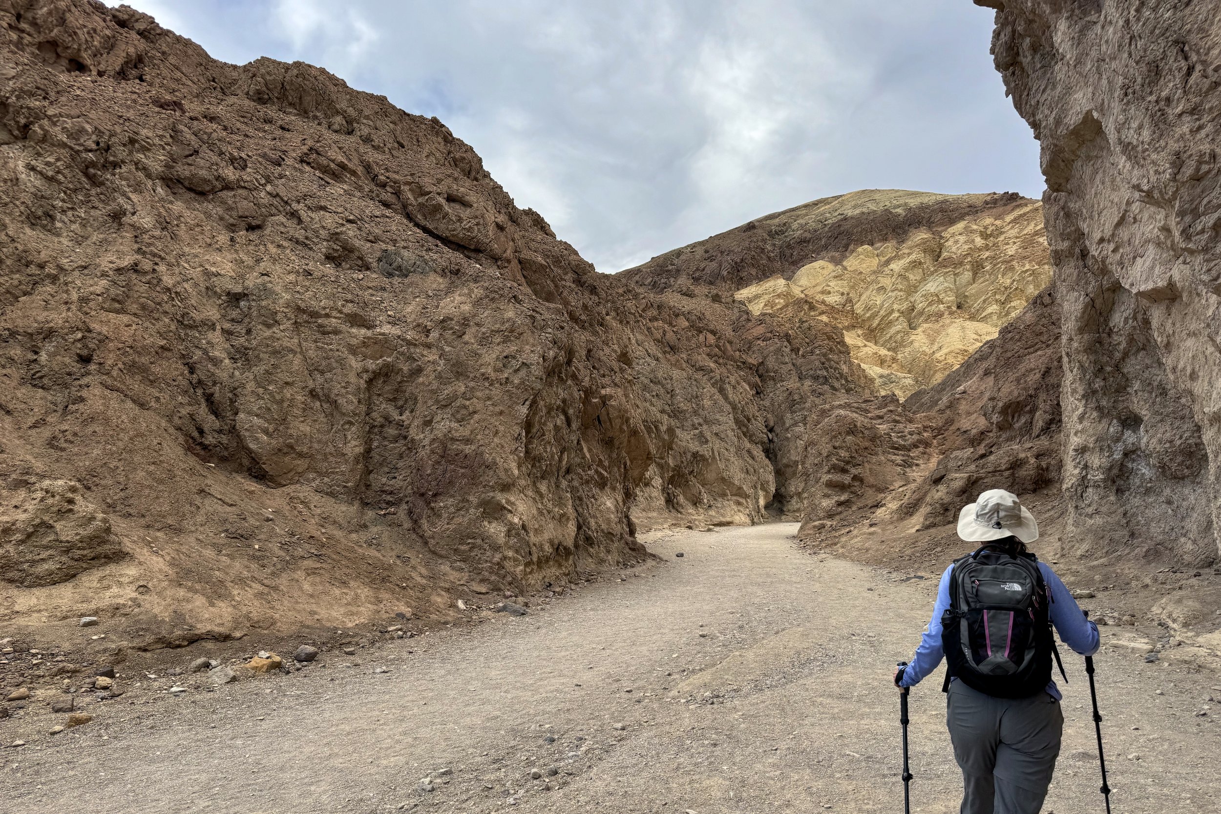
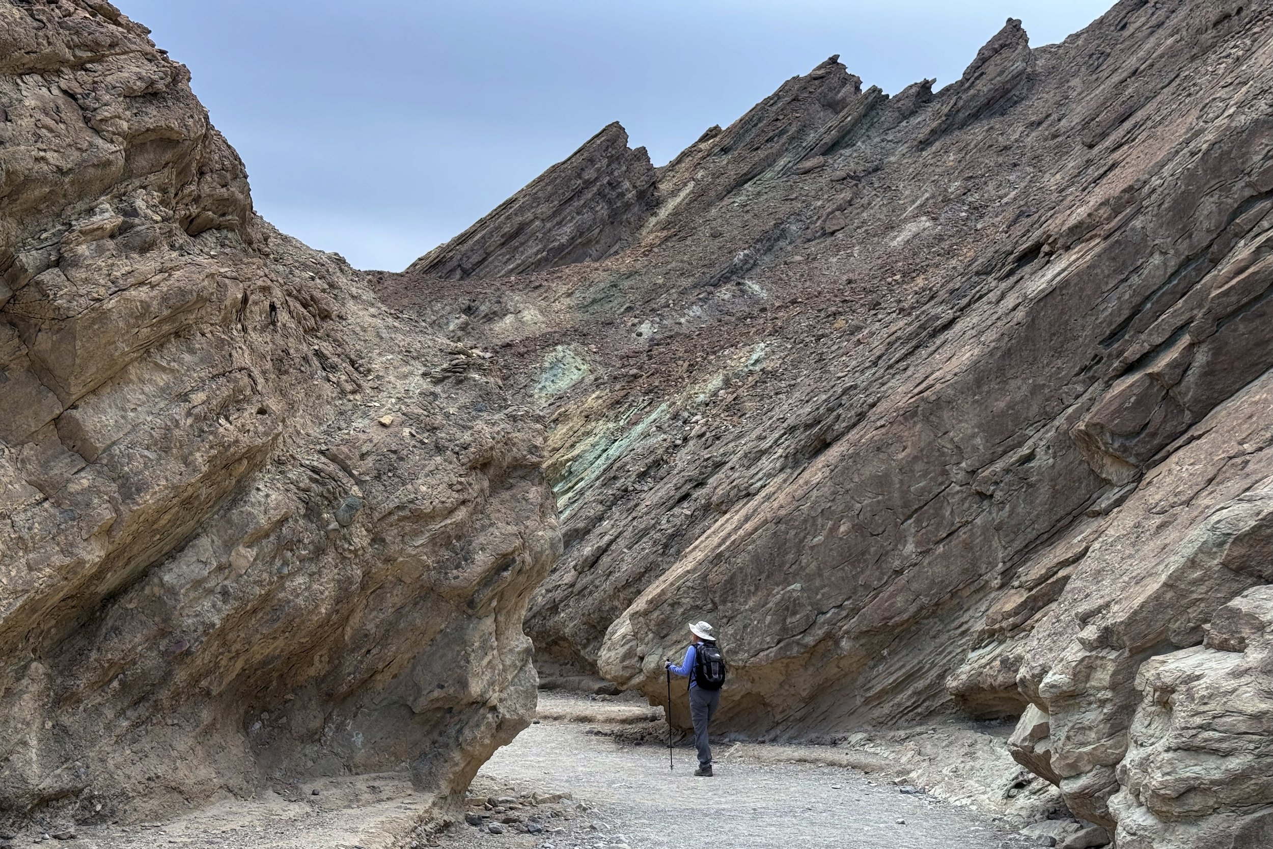
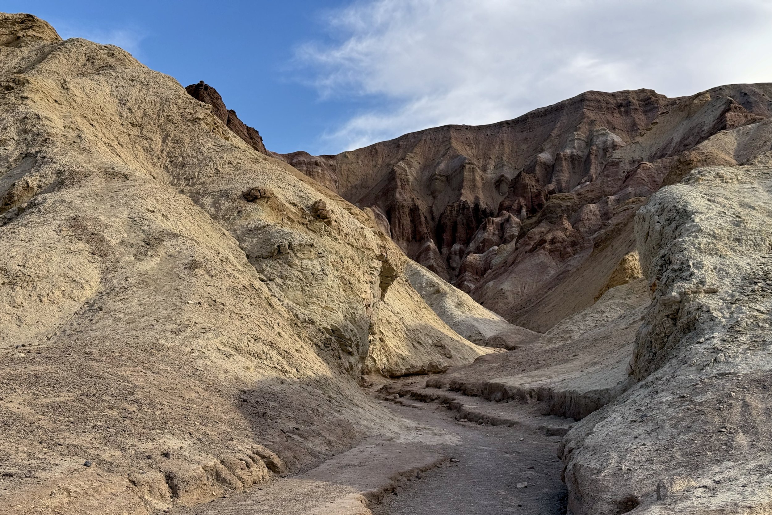
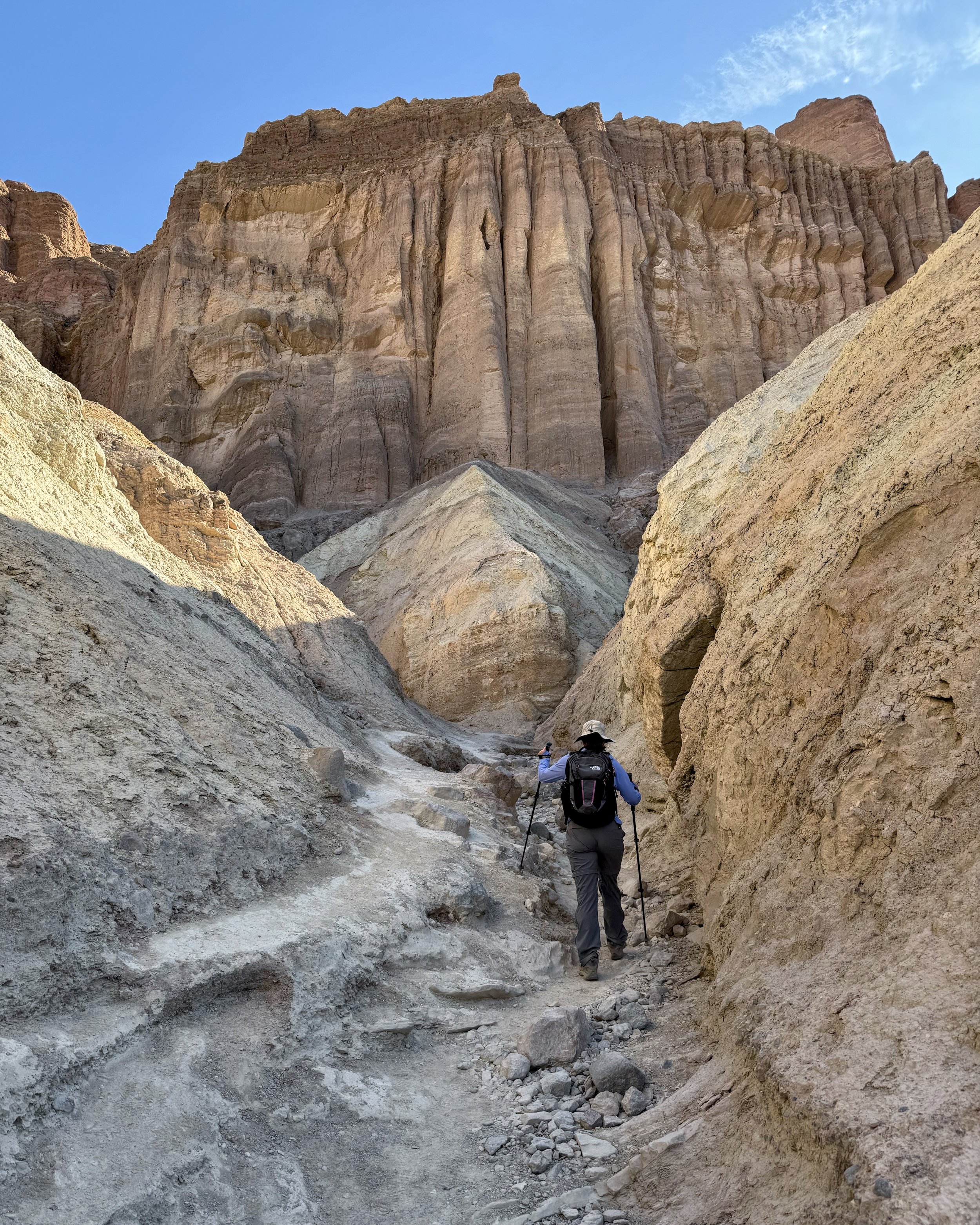
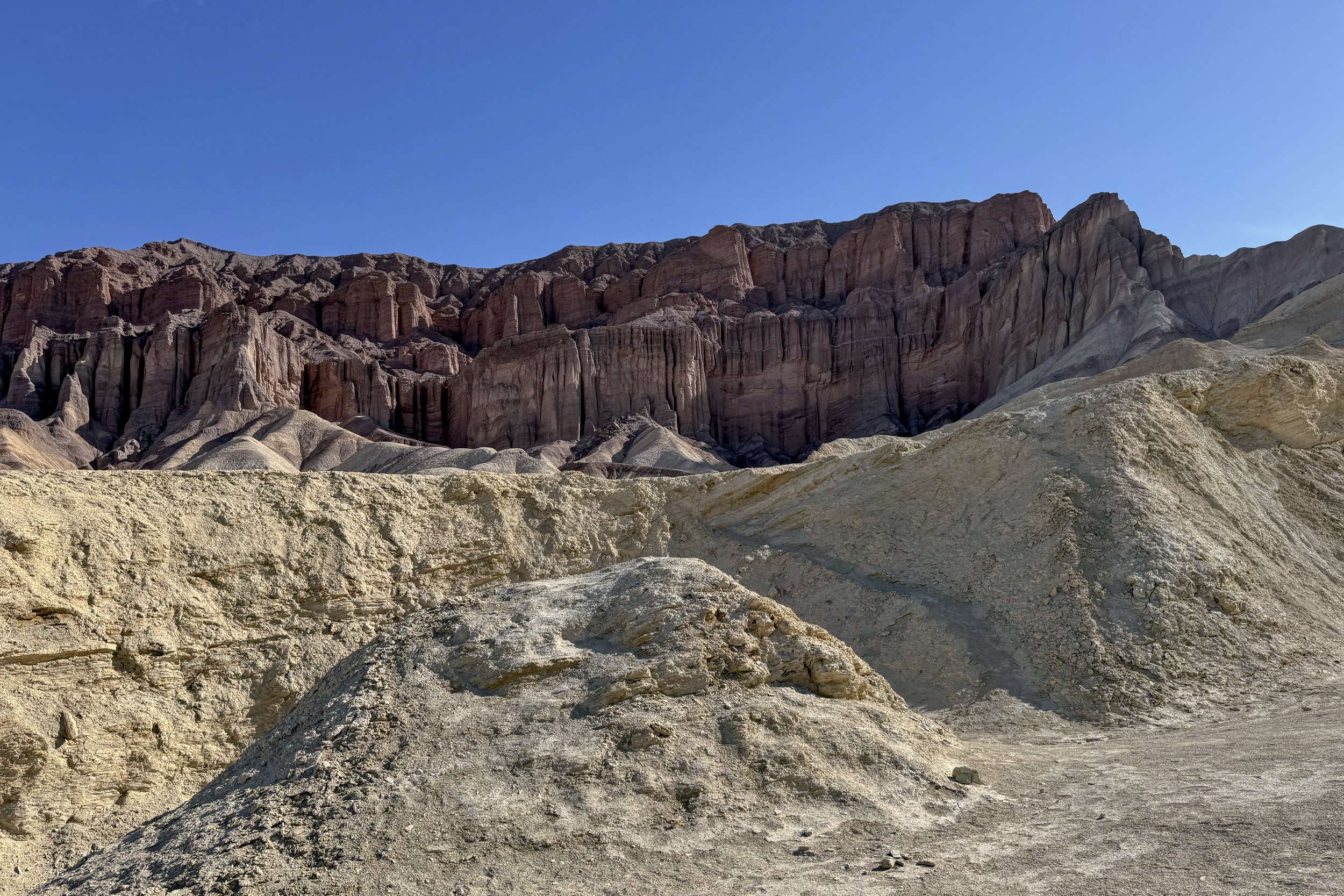
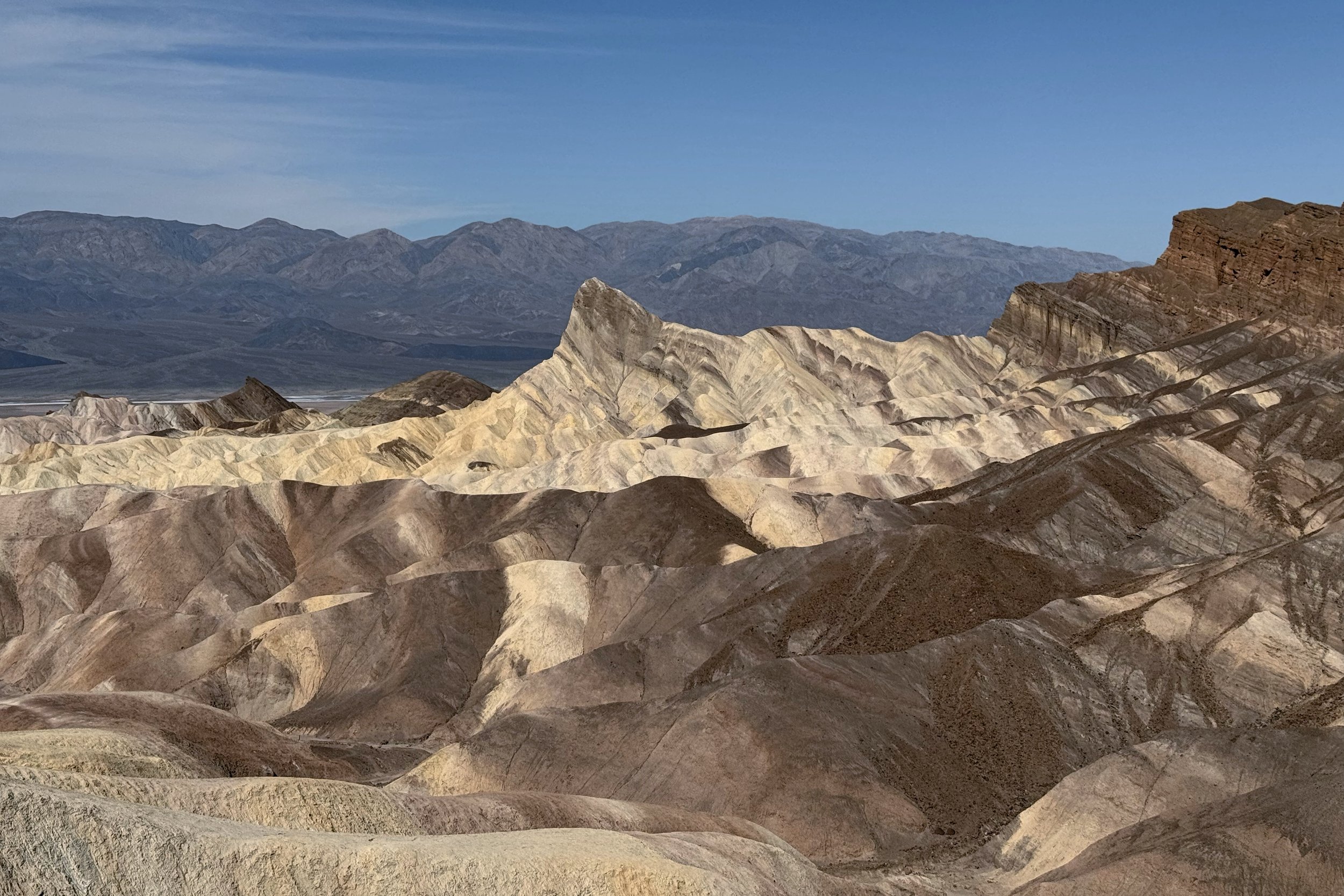
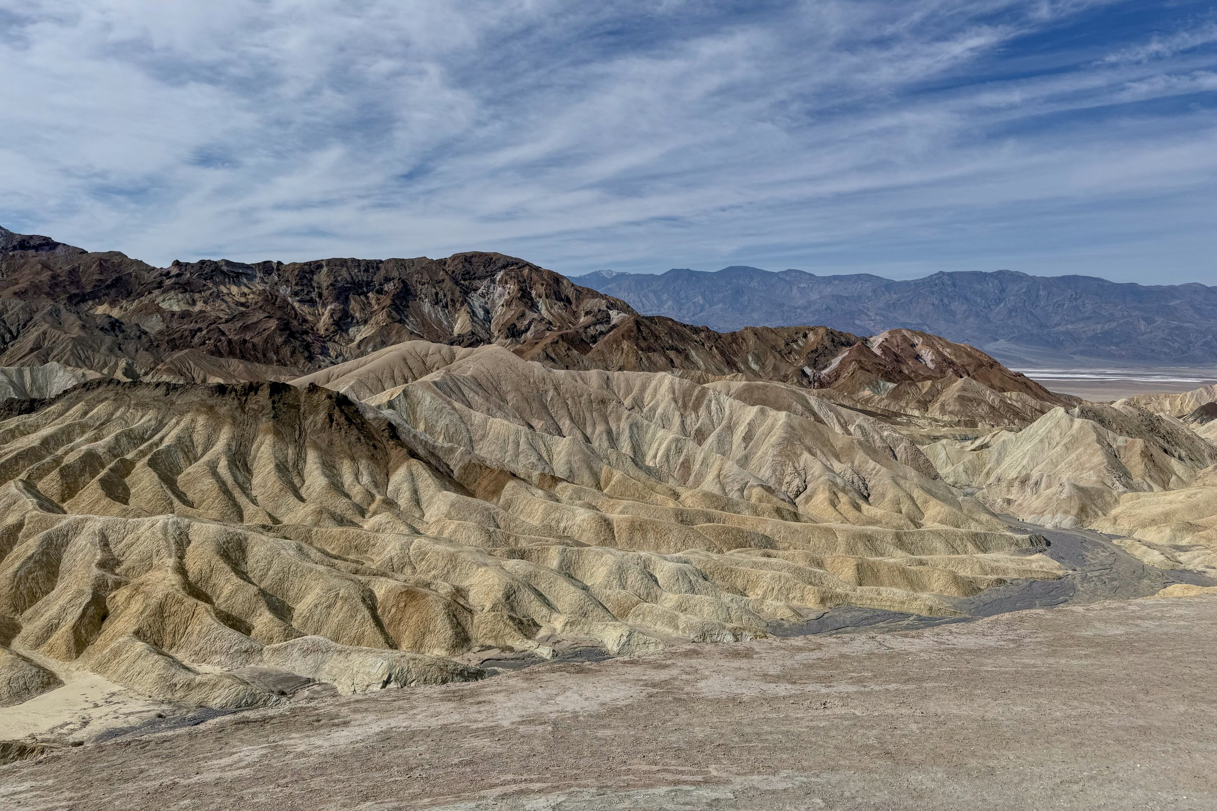
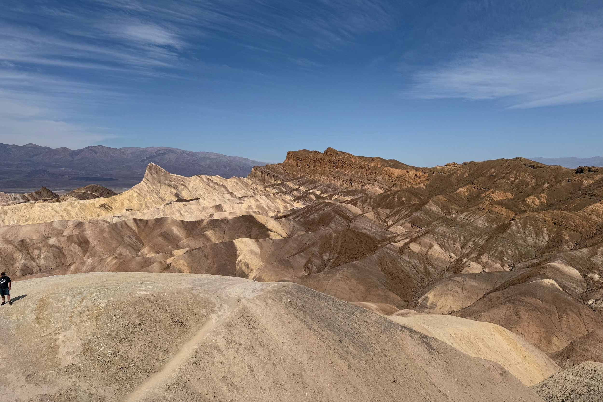
This part of the loop is where we did most of the climbing. The clouds were also burning off, so it was quite warm as we went up the exposed trail. We also started to see different landscapes, and once we got over the main ridge, we were on the Badlands Loop and got a good look at the badlands below us. We went down to a wash, then started our way up to Zabriskie Point. The point was a short walk from a parking lot, so there were several people going up and down to take a look at the badlands. We stopped to have a snack, then headed out again.
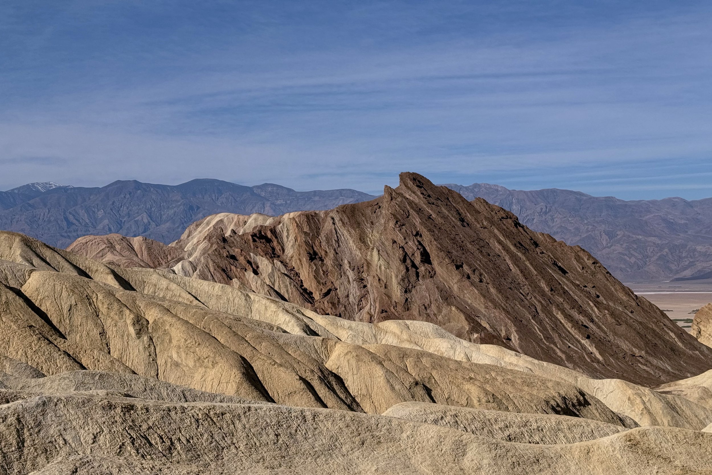
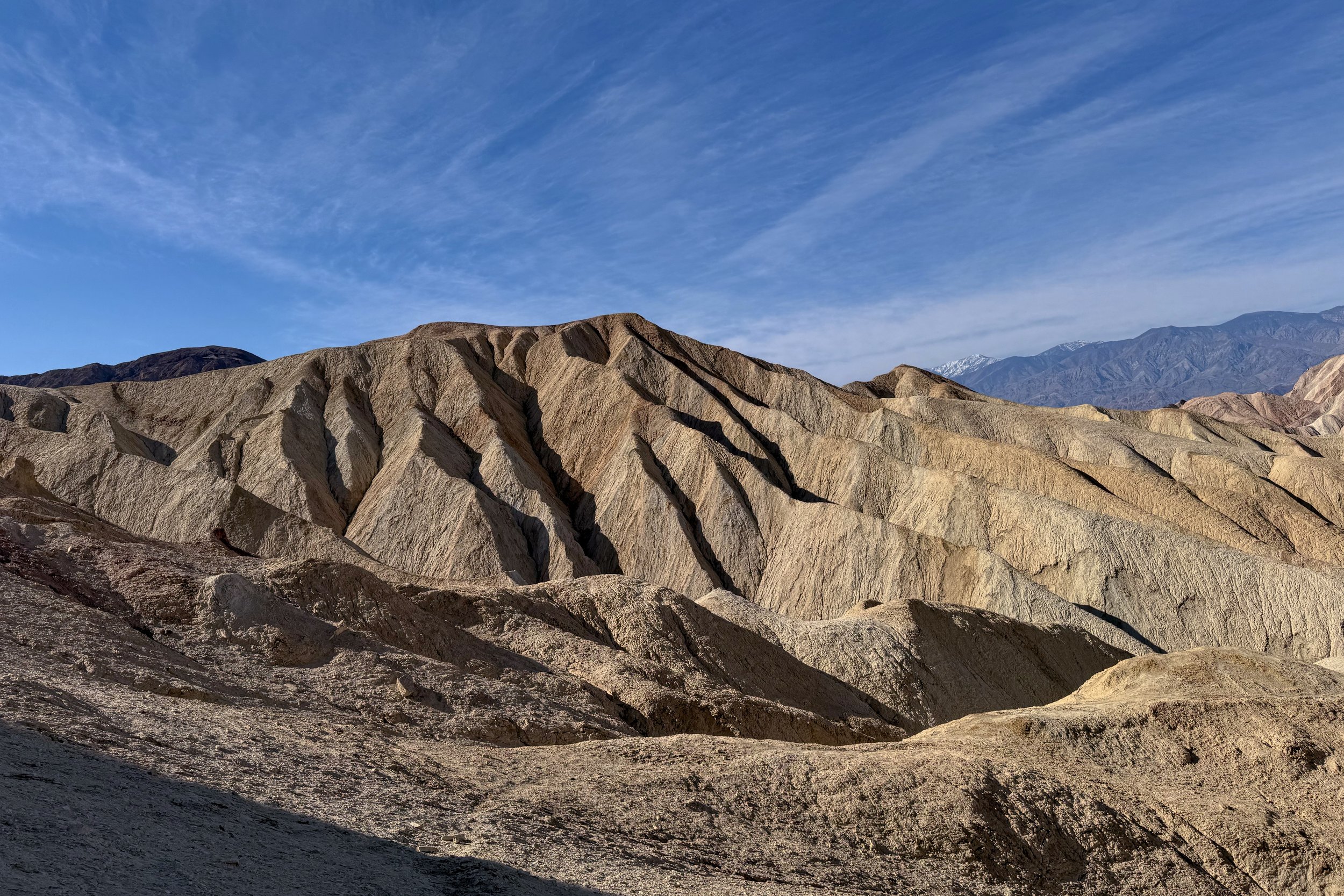
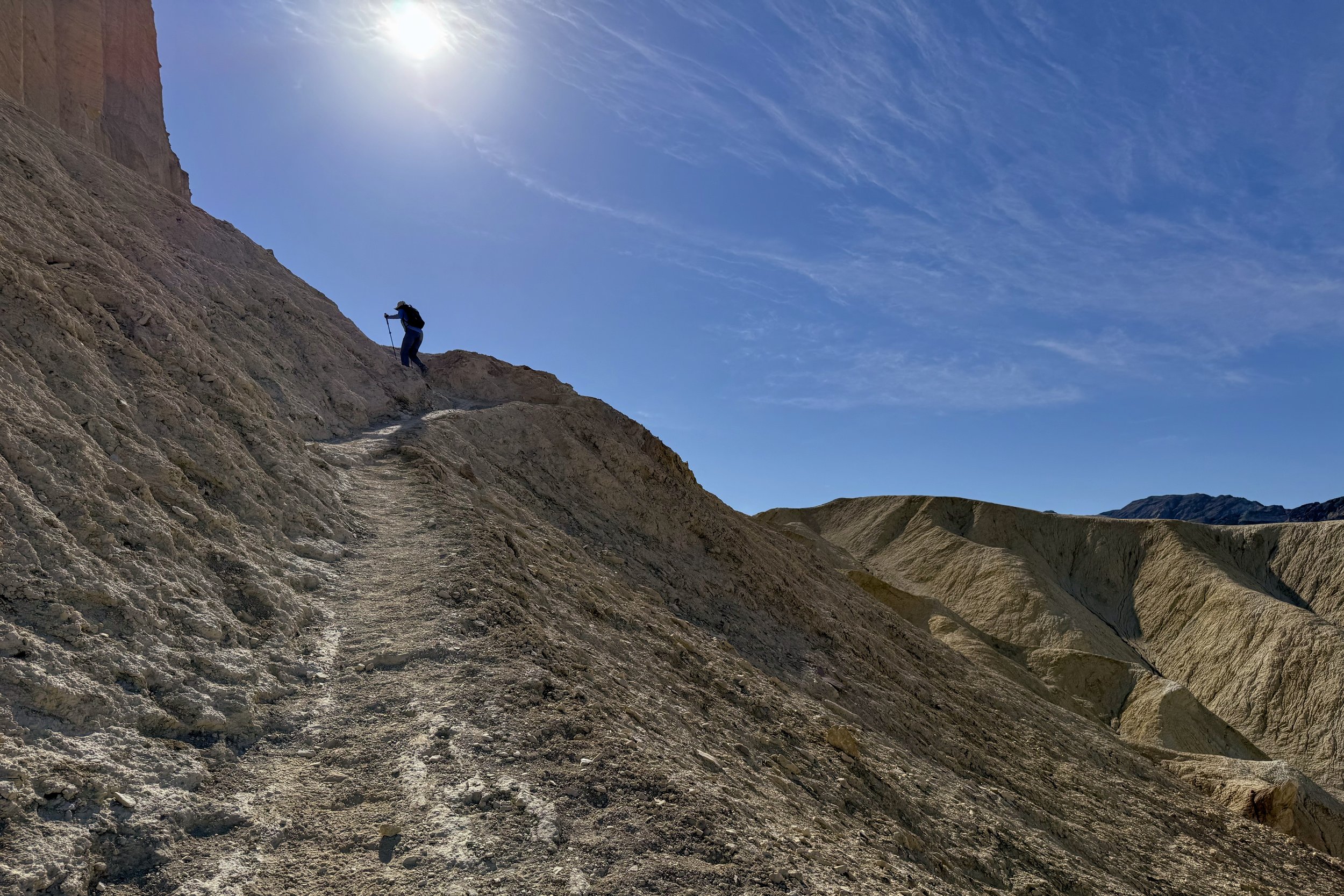
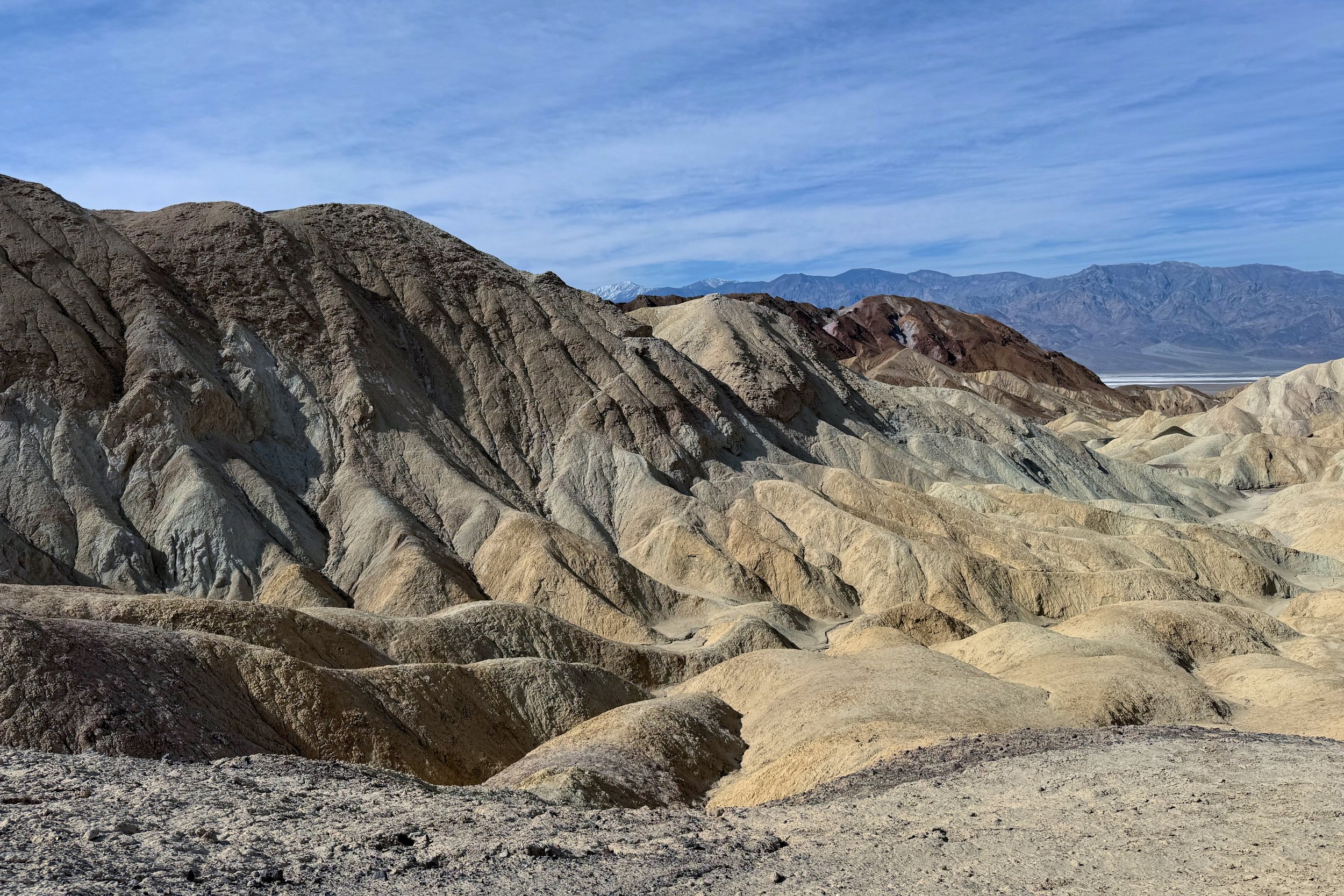
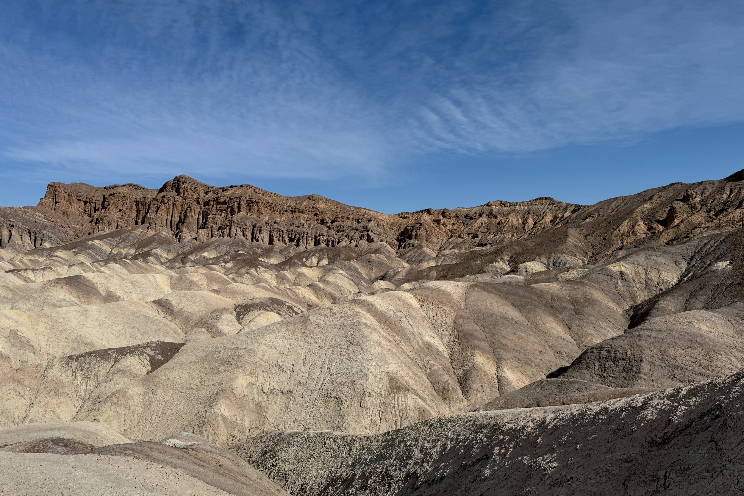
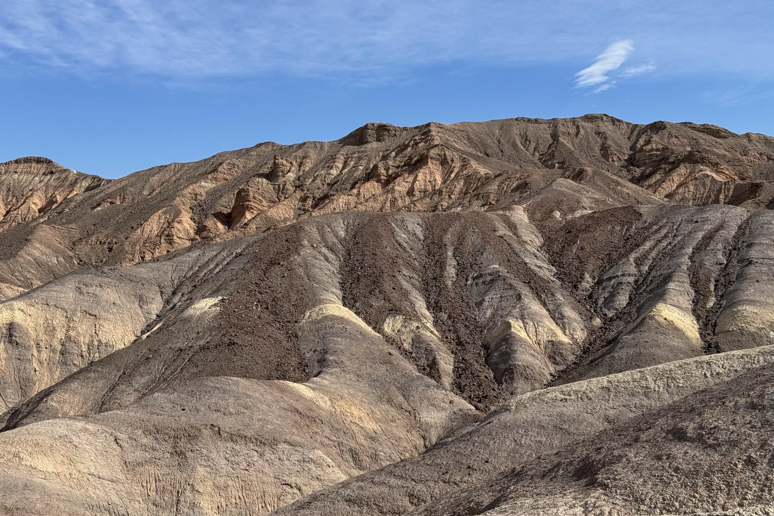
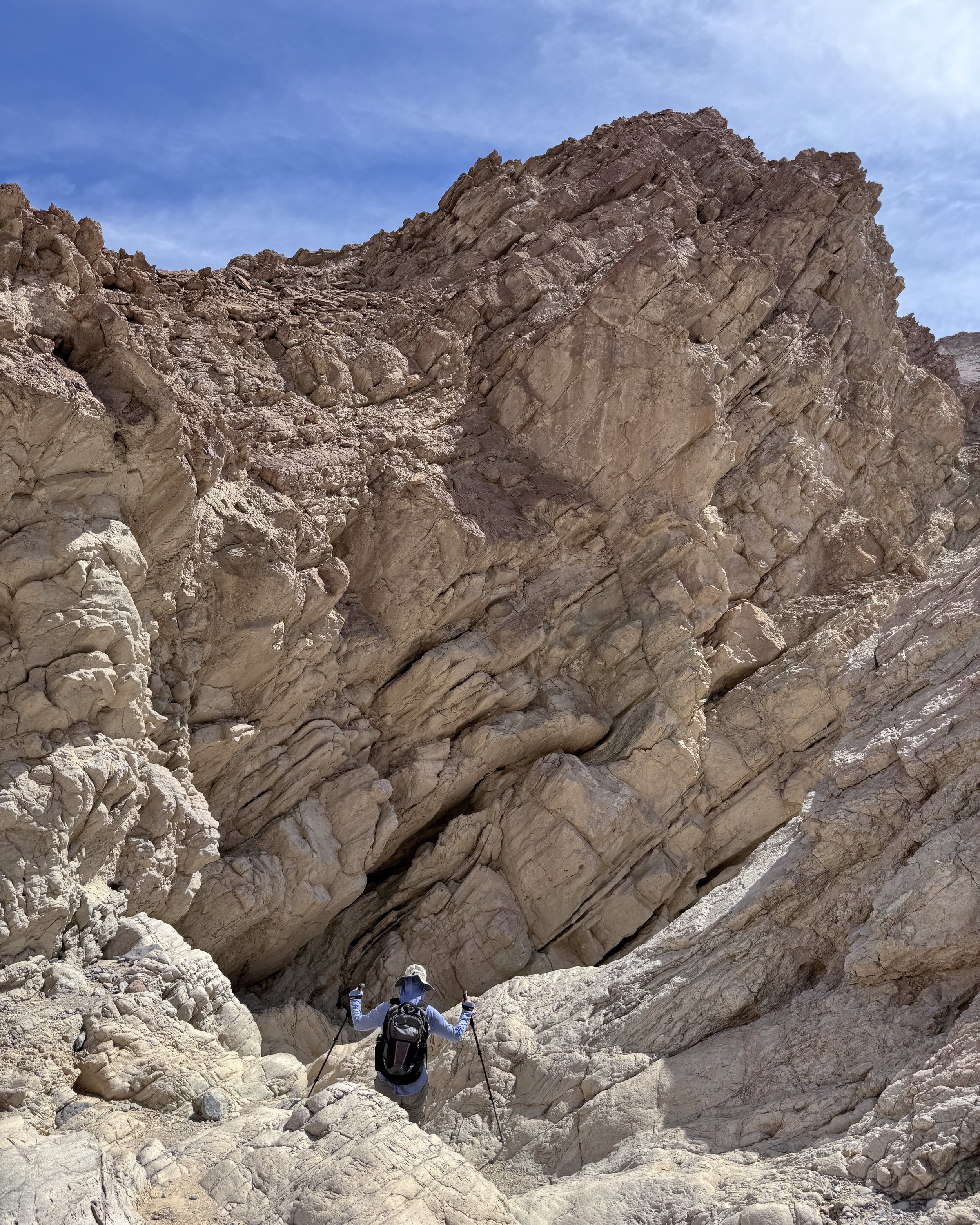
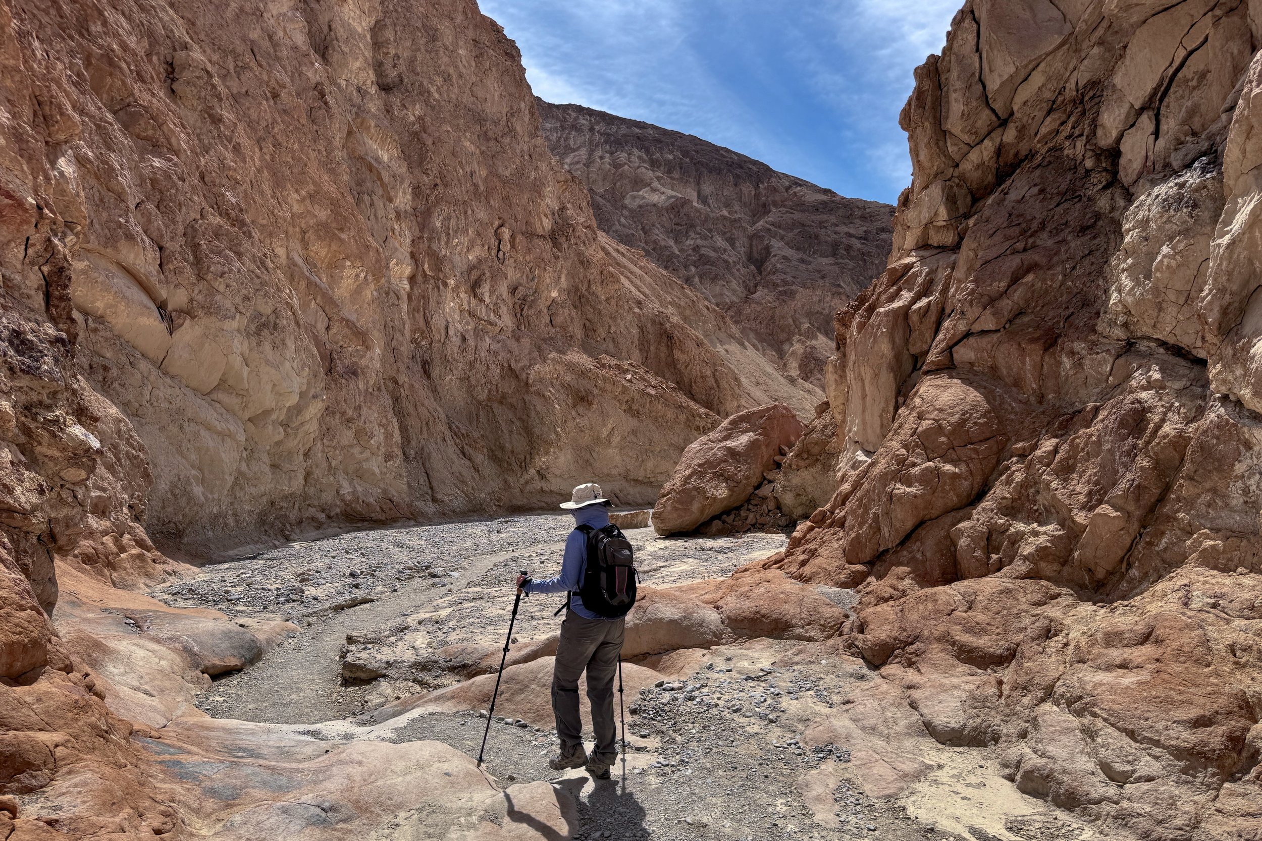
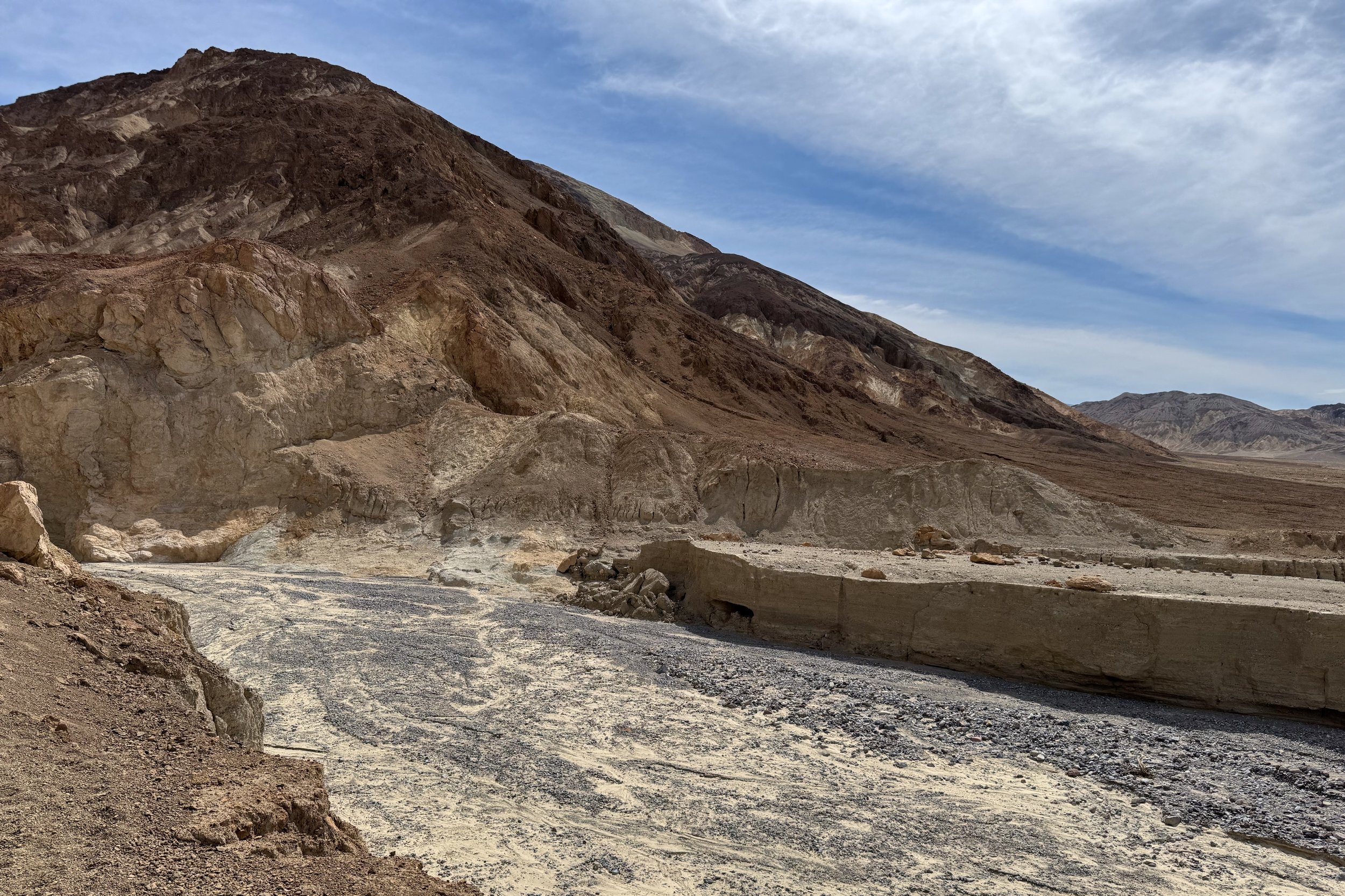
Most of the trail back was through Gower Gulch, and it’s easy to see how the water would get very high and go very fast during flash floods. There was one spot with very narrow canyon walls, but we were able to climb down without taking off our bags.
Once we got out of the gulch, the trail went parallel to the road for about a mile before we got back to the Golden Canyon trailhead.

Furnace Creek
We drove up to Furnace Creek to have lunch. There were a few large vans with Stanford Travel on them, and we weren’t surprised to see them taking up several large tables inside. We took a table in the bar area to eat. After that, we went to the ice cream parlor for dessert. The line was moving pretty slowly, and they were also trying to deal with having run out of French fries, offering onion rings as a replacement.
Once we finished the somewhat large servings of ice cream, we went to the store across the street to get something for dinner as well as food we would need for breakfast a couple of days later.
When we got back to the campground, it was very windy, enough that we didn’t want to leave our towels outside to dry off after showering. The wind continued to blow through much of the night, but died down by the time we woke up.
28 March
Even though the wind had mostly died down, it was still pretty breezy. A large group of kids were also in the camp, and they had taken up the table space in the kitchen area. We were able to move some things around on another table so we could sit down to have breakfast. After that, it was back to the park.
Badwater Salt Flats
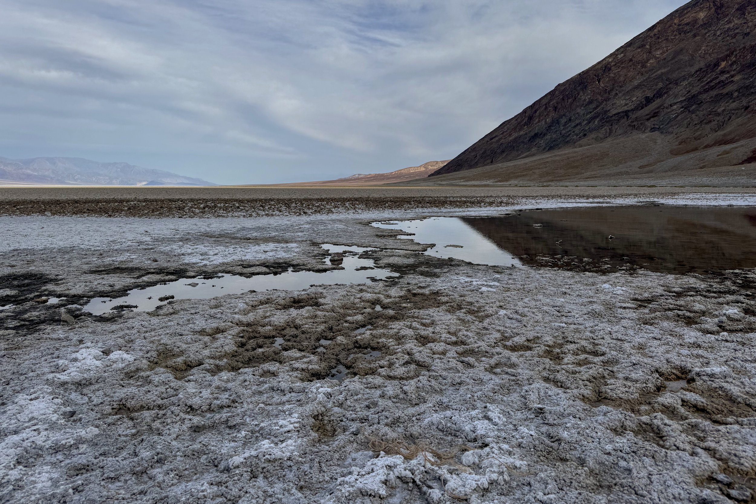
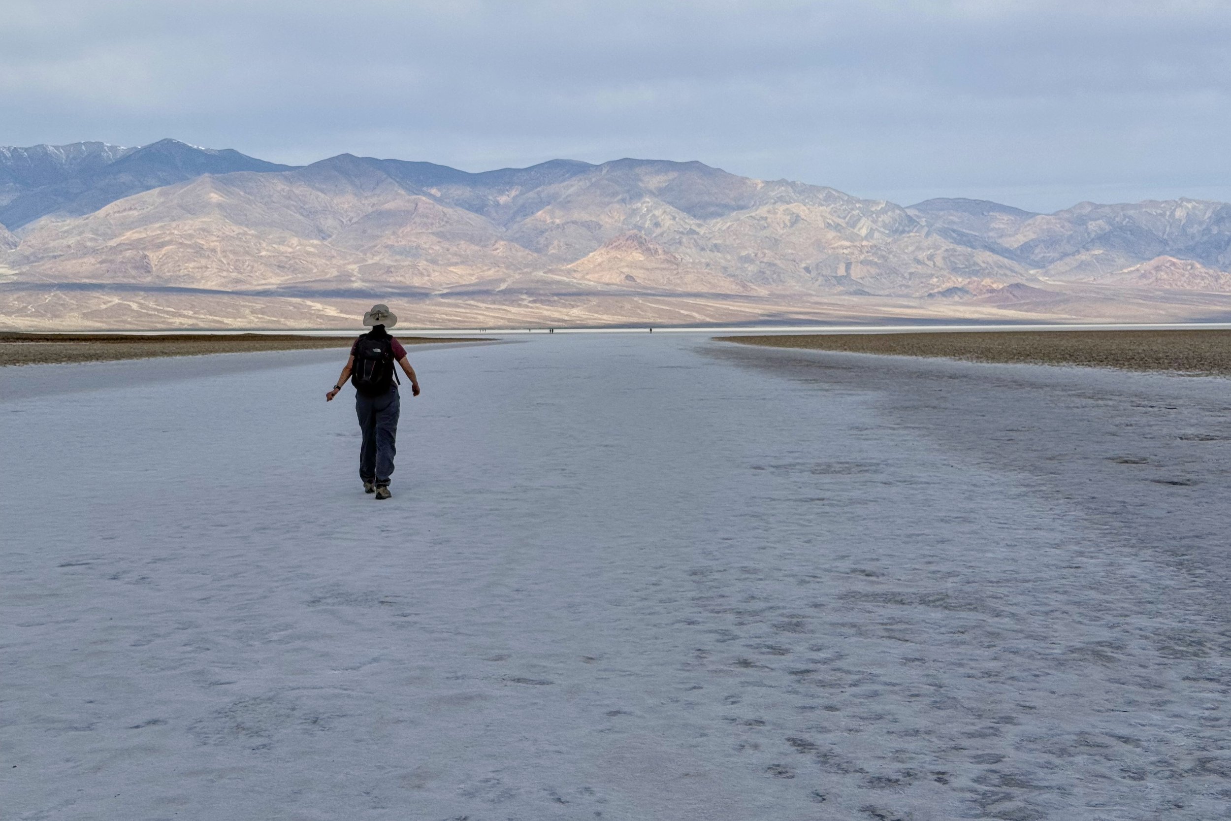
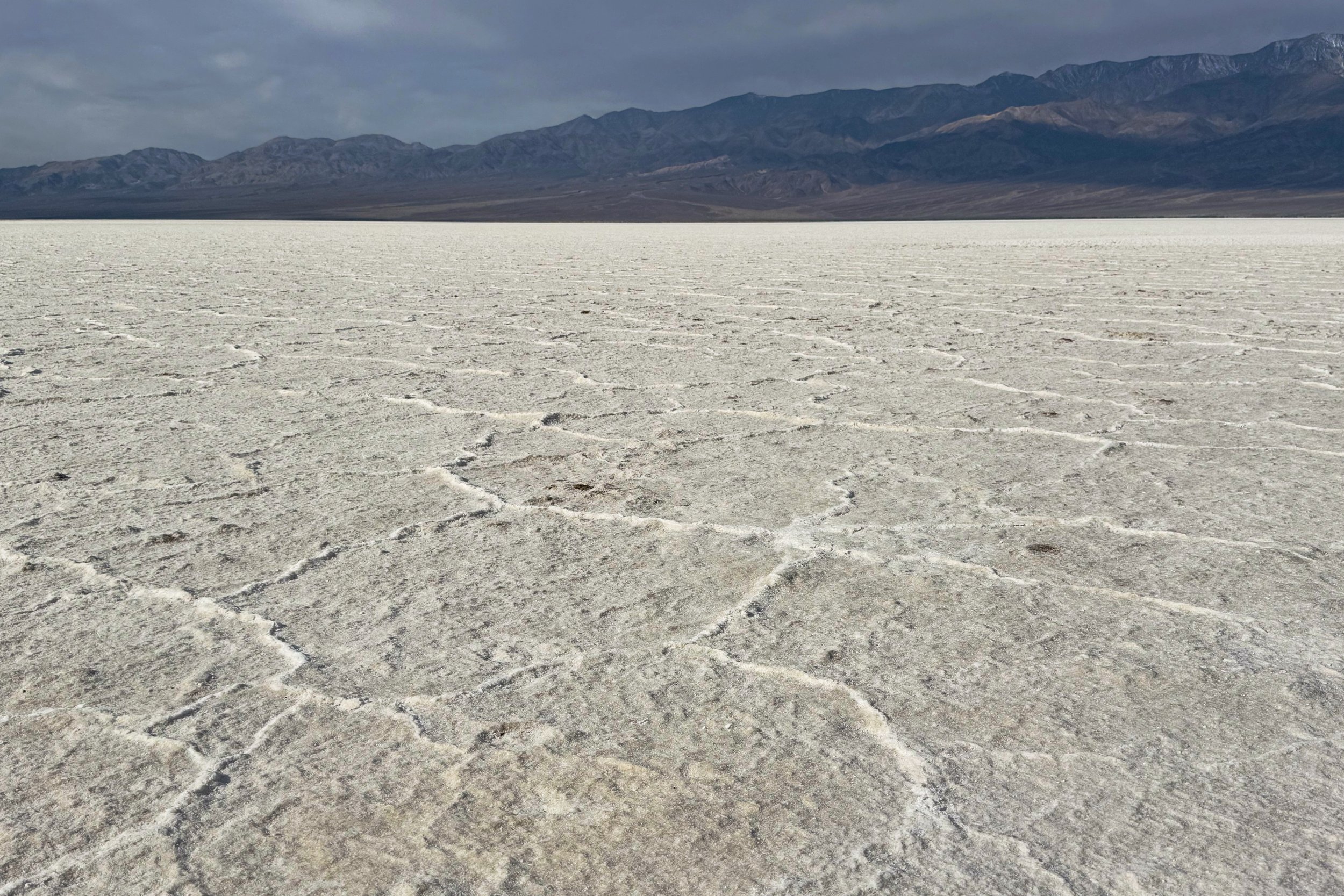
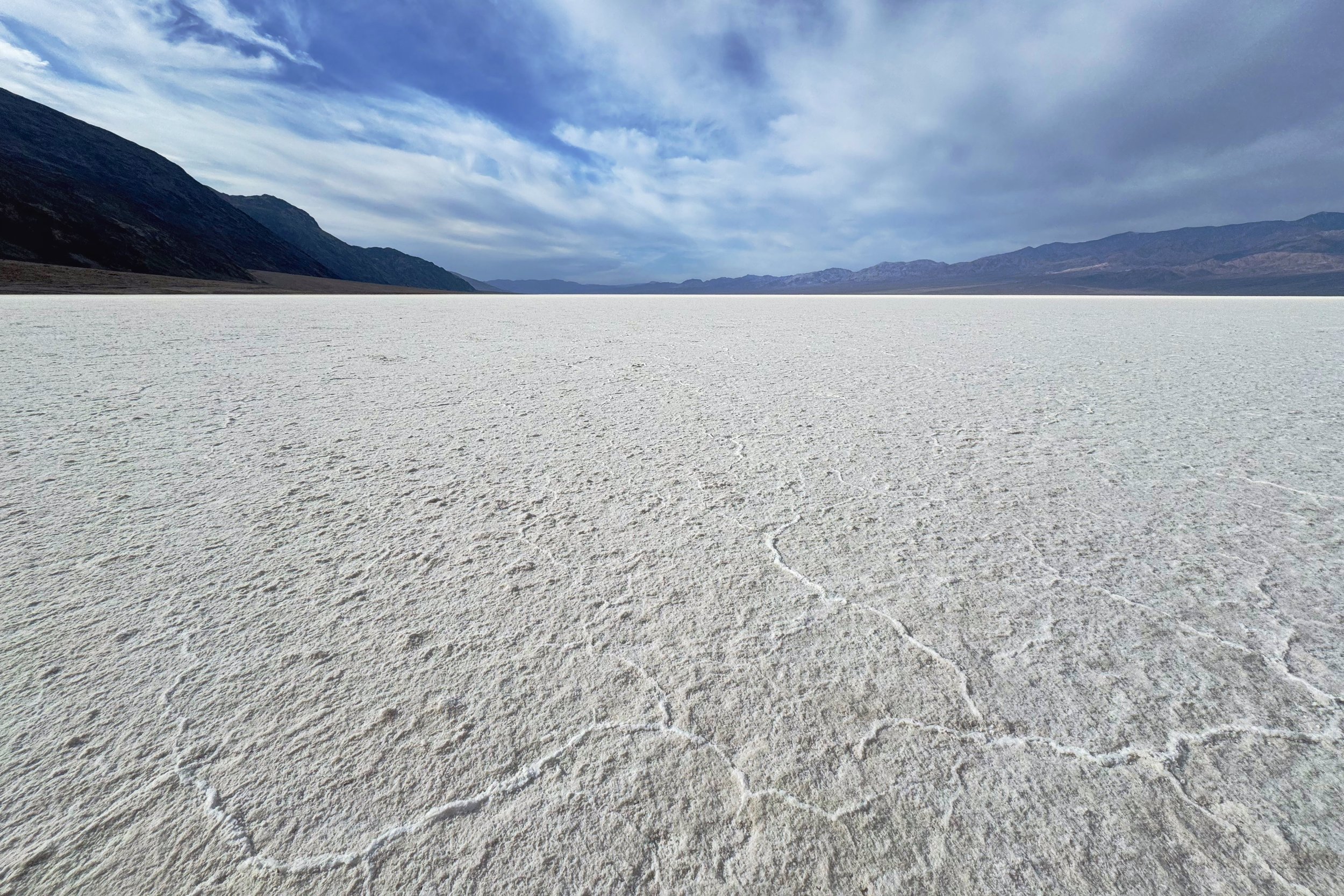
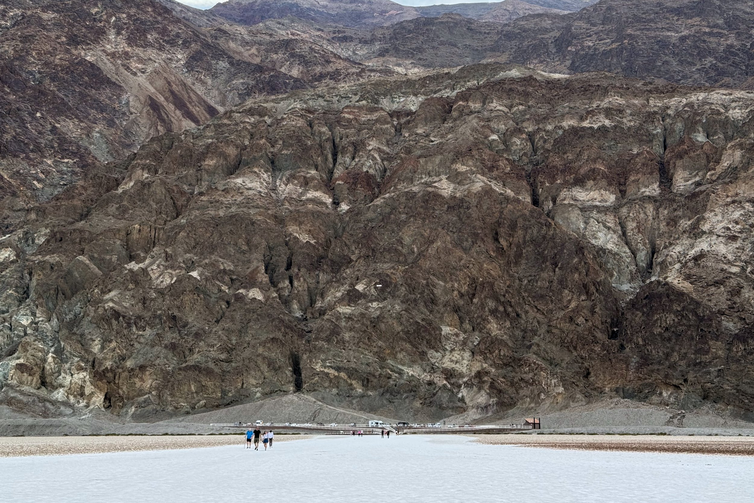
Our first stop for the day was the lowest point in the park. Badwater Basin sits about 280 feet below sea level, and on the cliffs across the road is a marker showing sea level. The marker was quite a ways up the cliff.
We walked along the short boardwalk, then started walking directly on the salt flats. Since it’s a popular place, there is a lot of salt dust all around, but you can still see ridges of salt. Once you get far enough out, it looks like you’re just in a sea of white.
Artist’s Palette
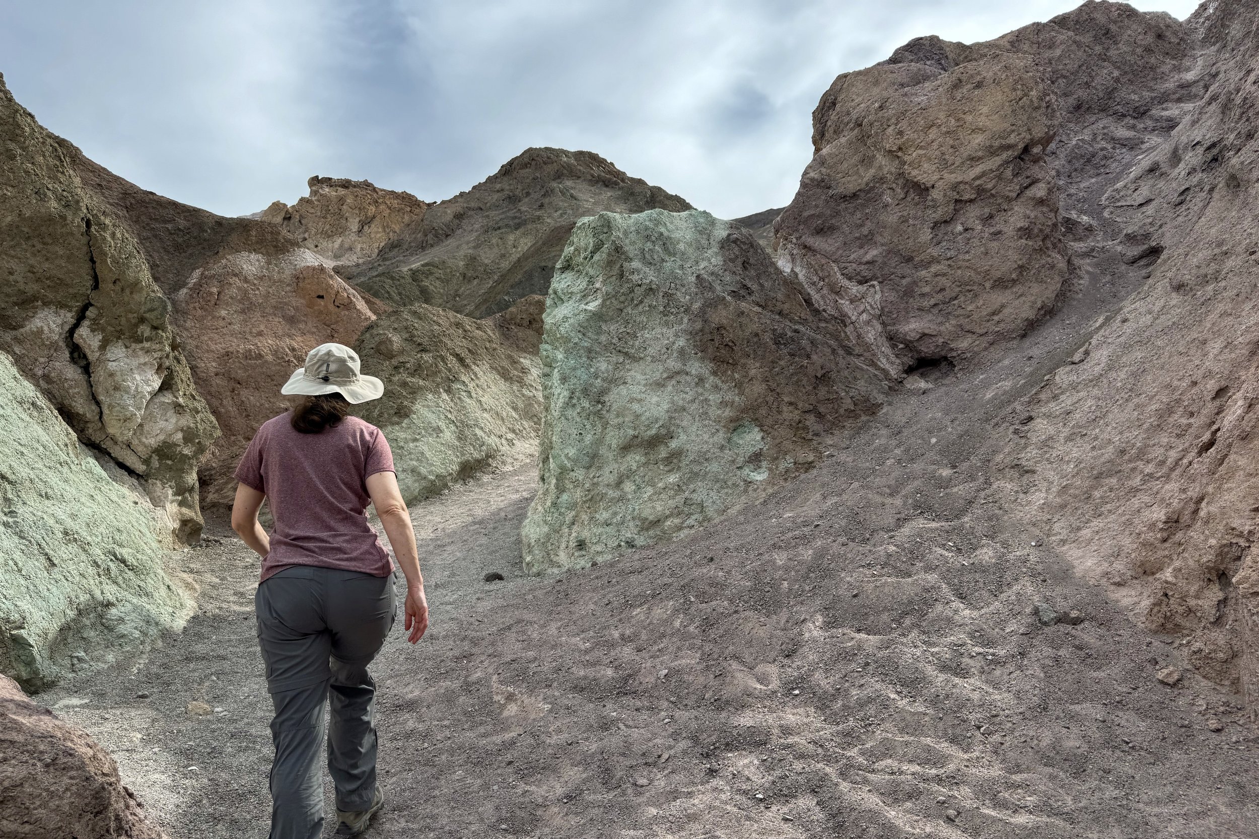
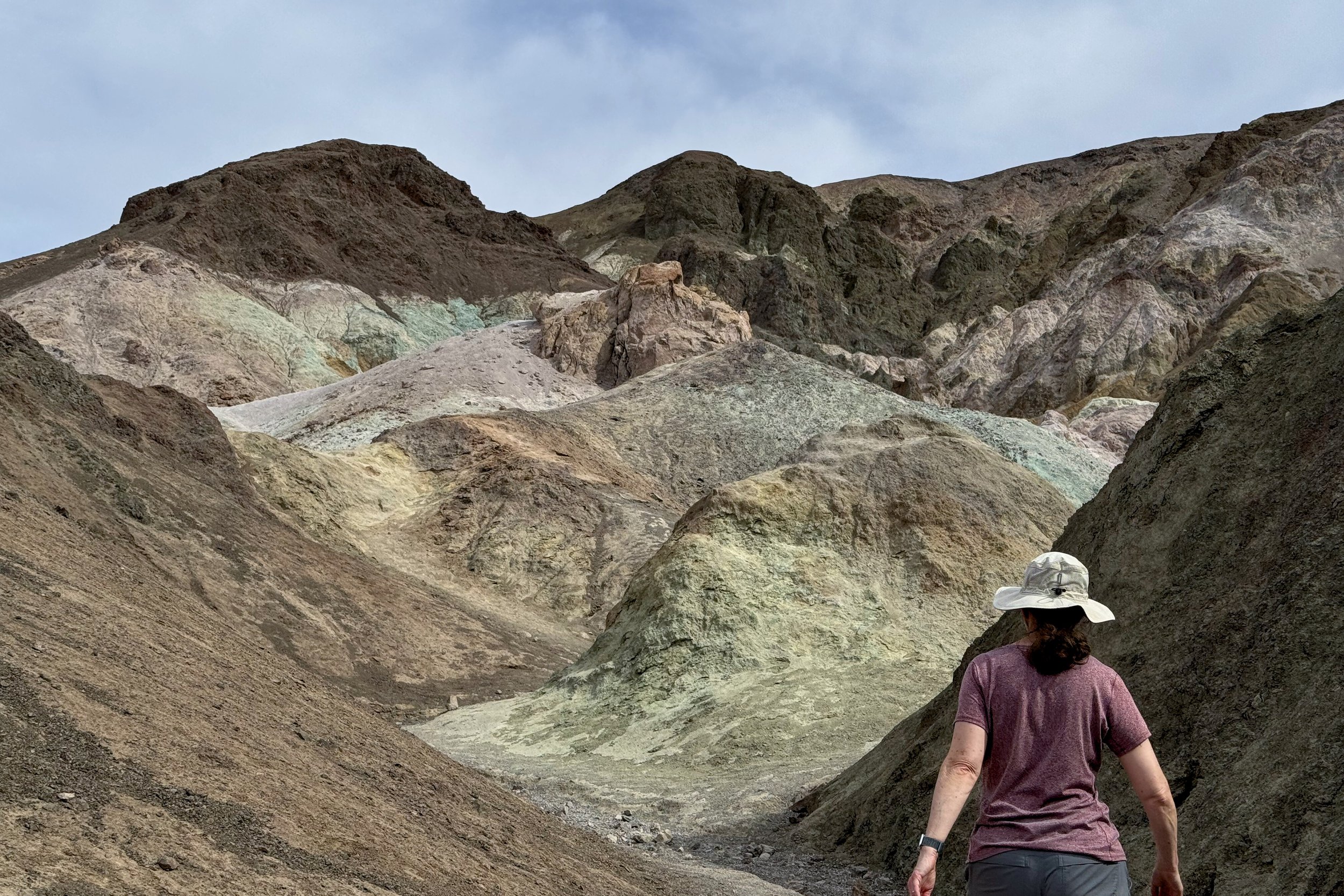
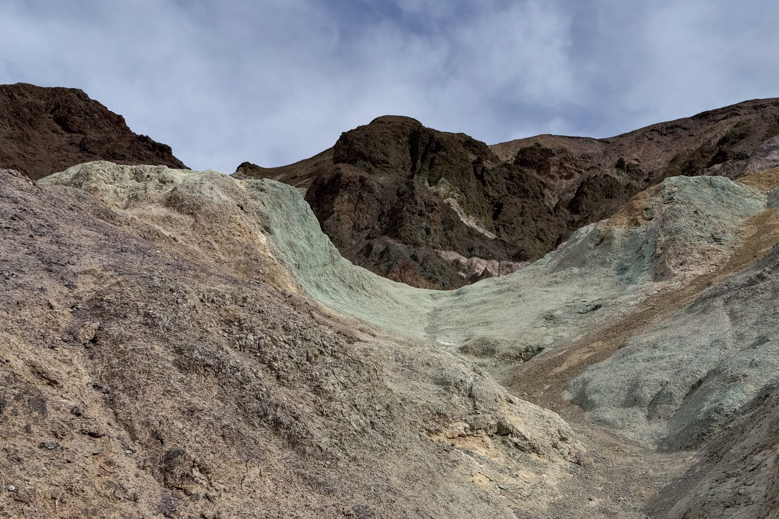
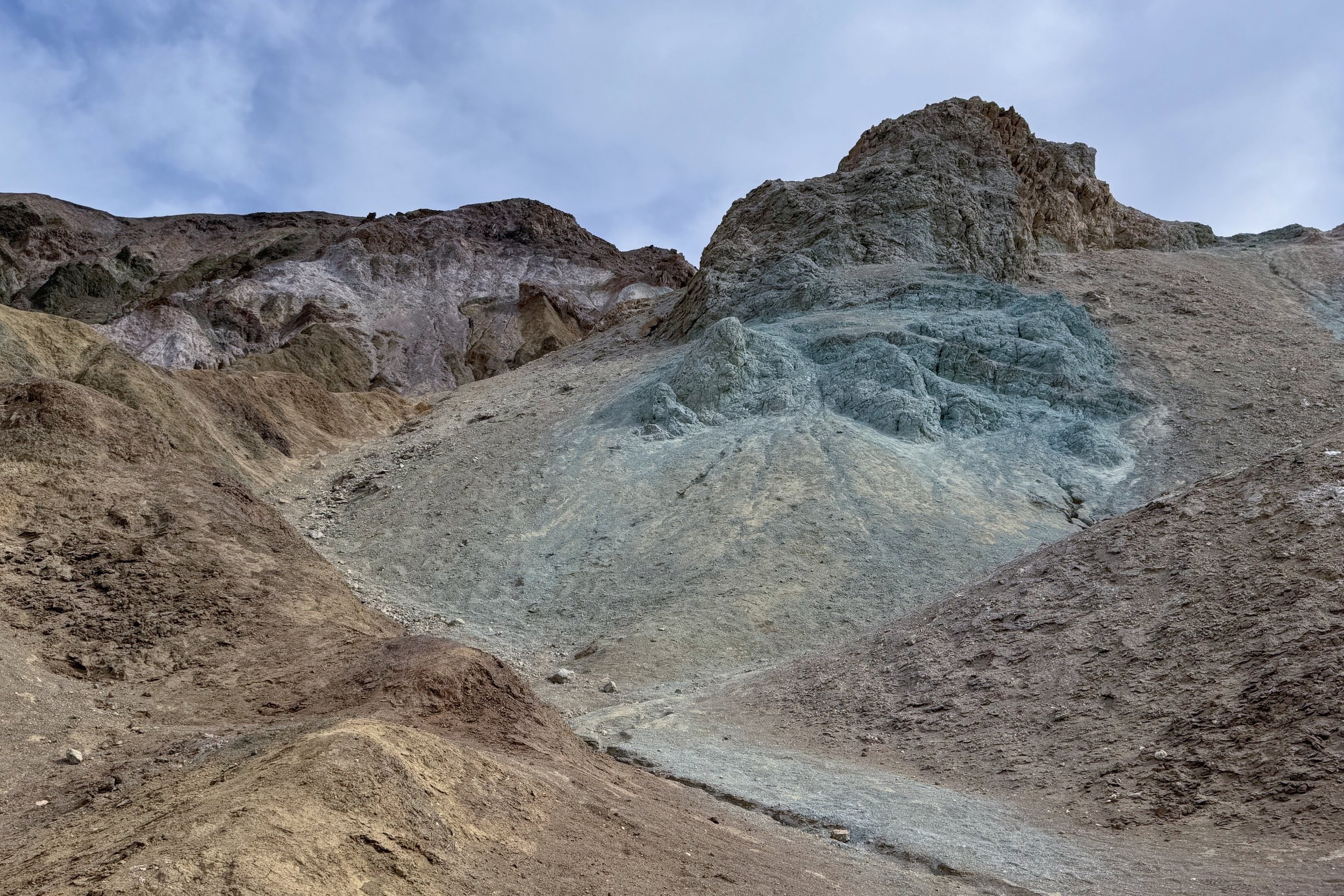
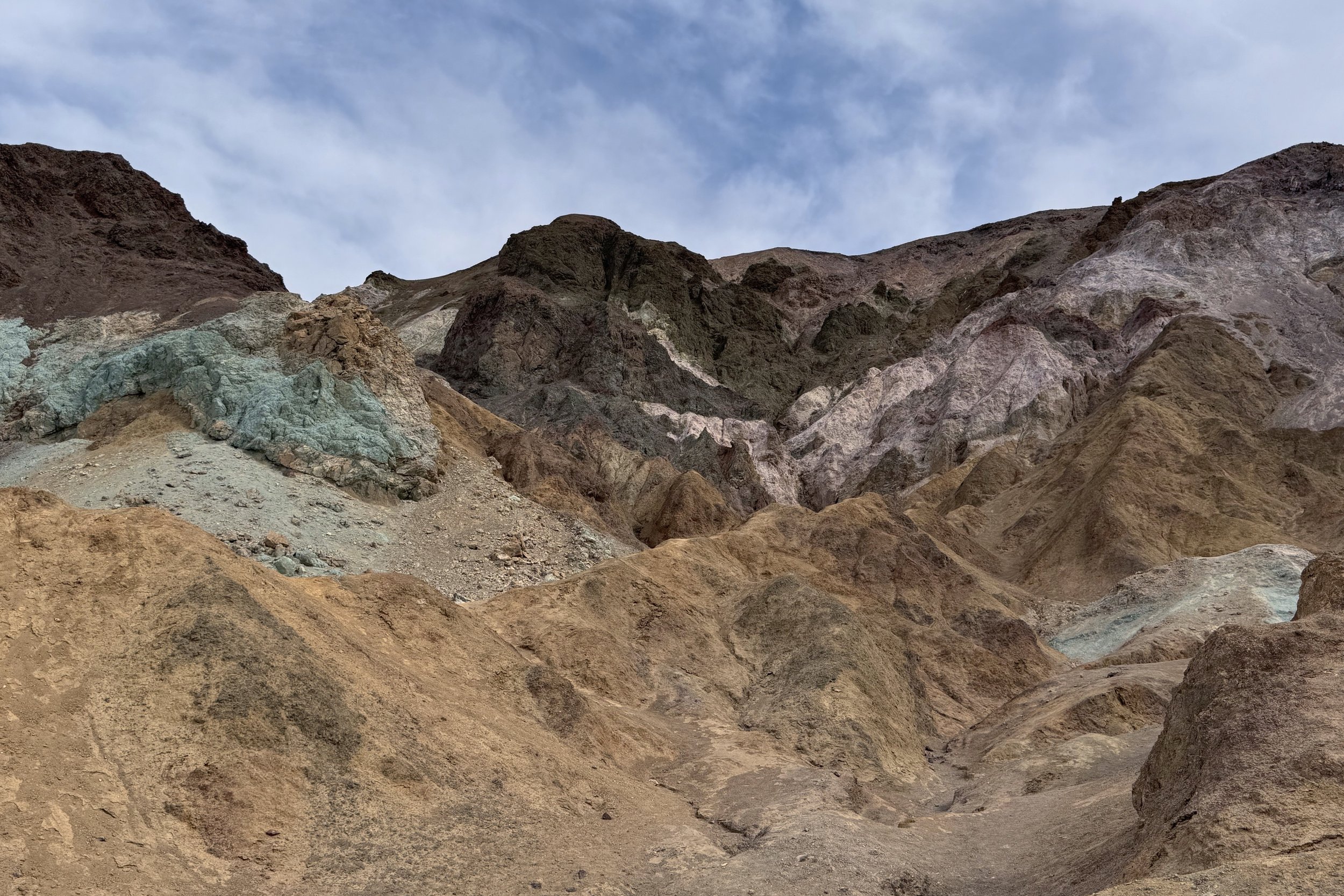
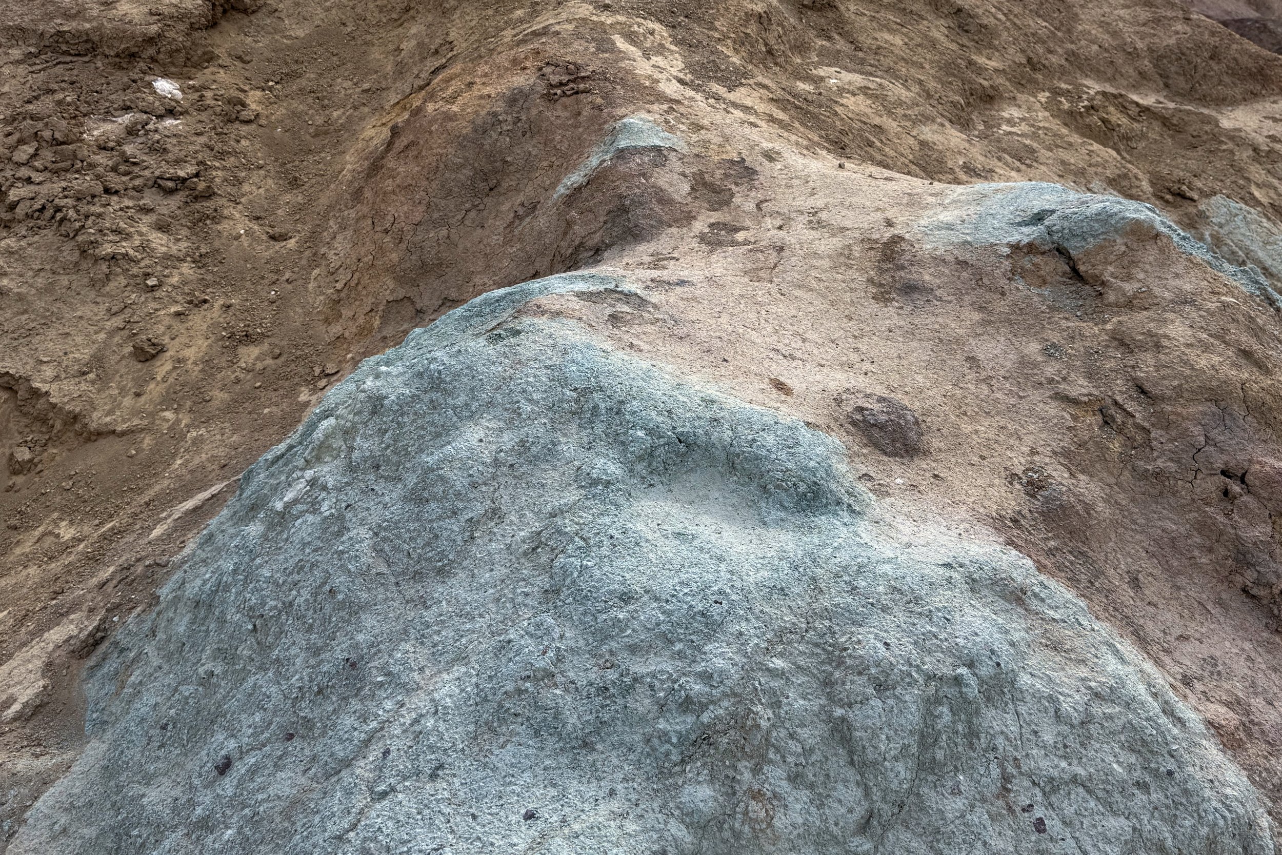
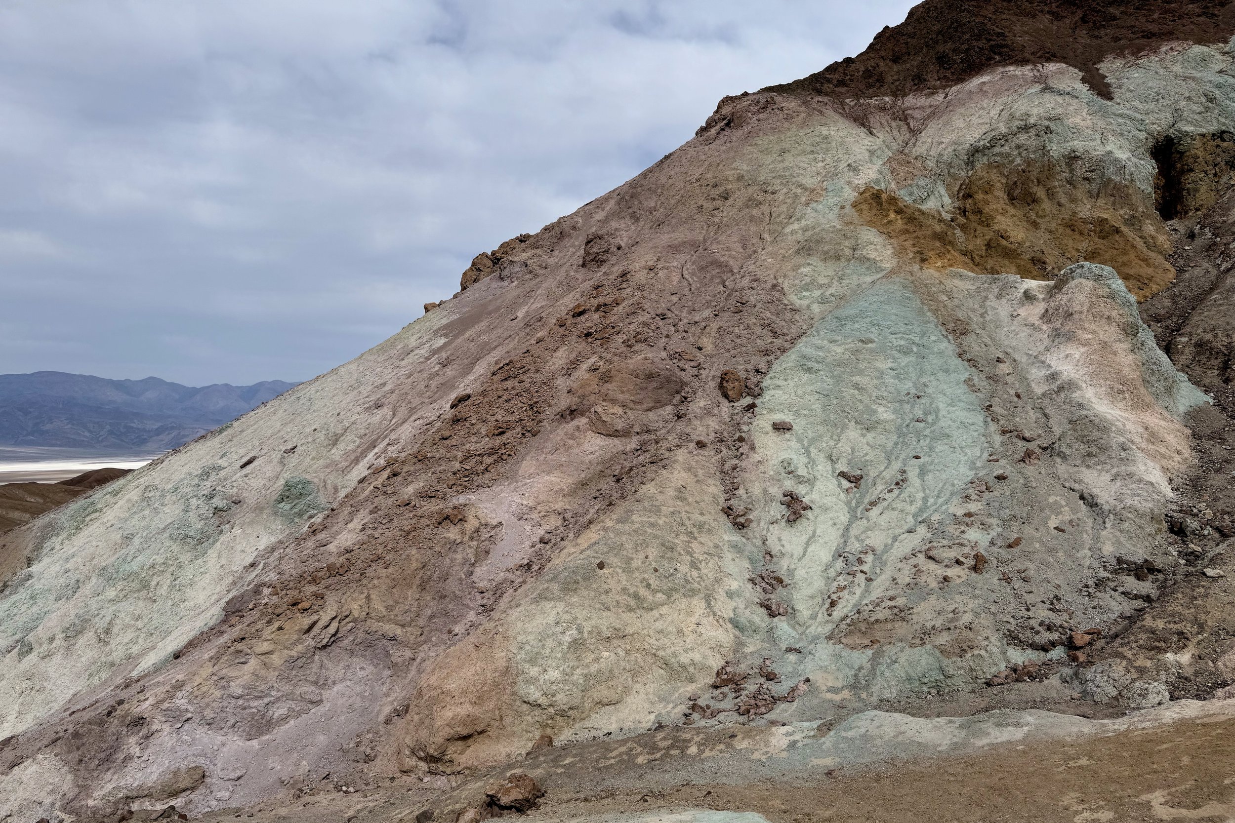
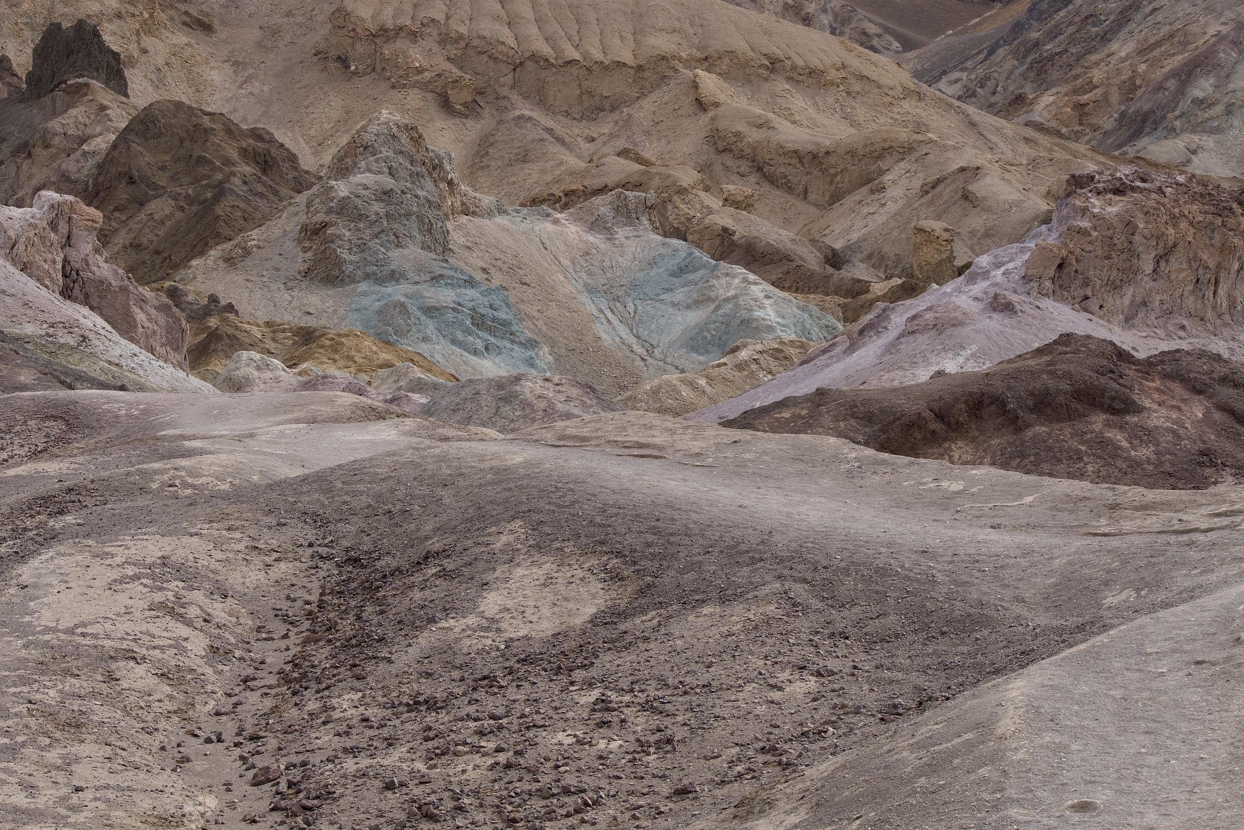
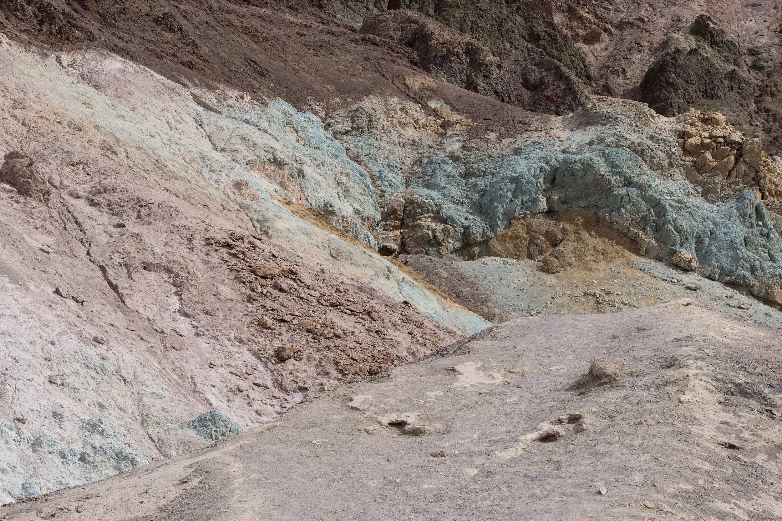
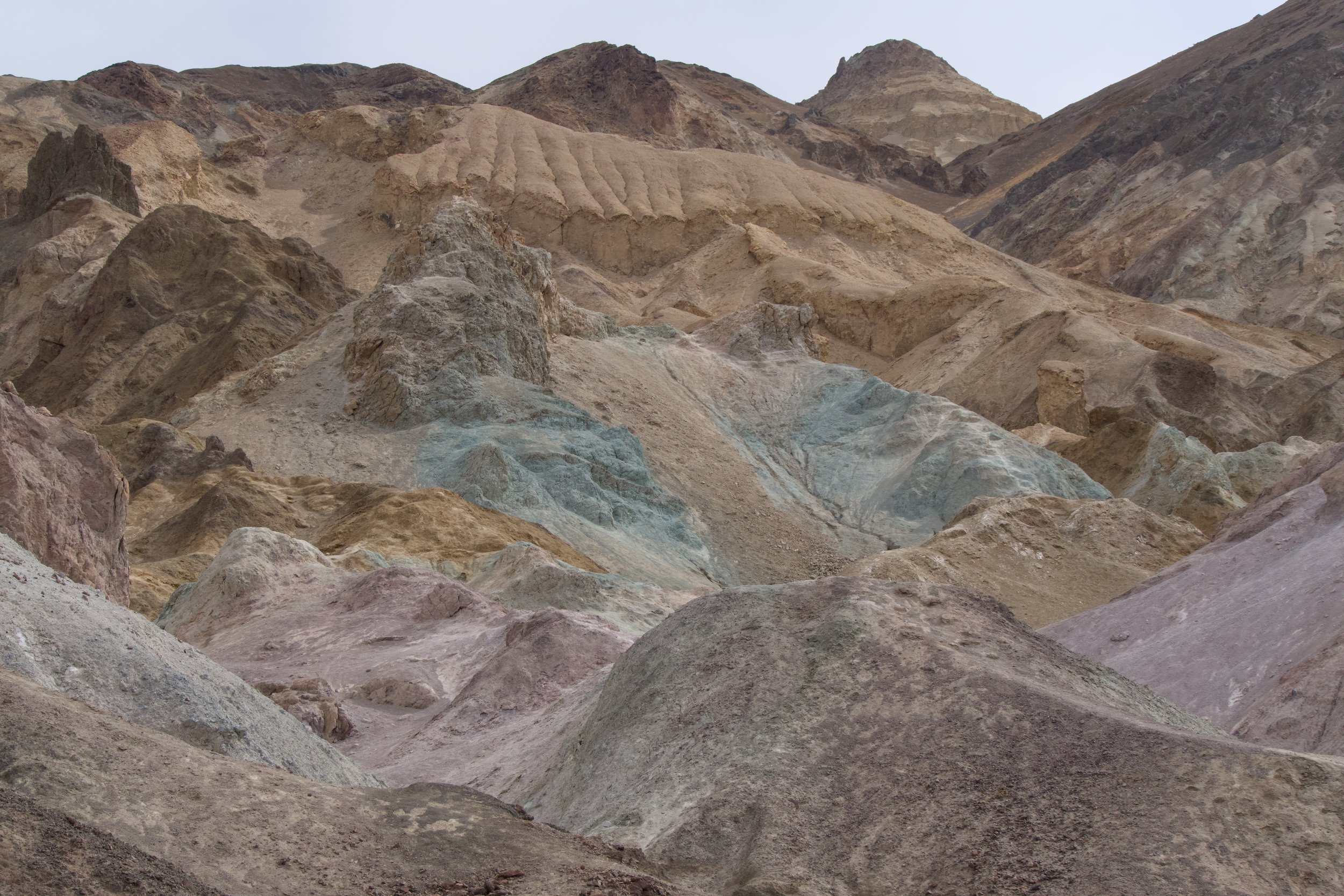
After leaving Badwater Basin, we started driving the Artist’s Drive Loop to Artist’s Palette. It’s a set of small hills with large swaths of colors. Reds, pinks, and yellows are from iron oxide. Purple and lavender are from manganese. Greens are from chlorite. The name is very descriptive of what we saw.
There were several paths between and over the hills, and while we tried to follow a path that we saw, it was hard to stay on it. We ended up doing a lot of diversions and then just going along trails that looked interesting.
The loop itself was very windy and went between more small hills. There were some very large dips (seemed to be about 20 or 25 feet) and outcroppings that would do damage to wide vehicles. It was very scenic, though.
After we were done, it was back to Furnace Creek for lunch and ice cream. We’re nothing if not predictable.
Dante’s View
Our last stop for the day was Dante’s View, which sits at almost 5,500 feet, so almost 6,000 feet above Badwater Basin, which we could see below. We walked along a ridge to various viewpoints, each giving a panoramic view of the salt flats.
Once we were done along the ridge, we went in the other direction to walk along the hills which are part of the Black Mountains. This direction was much less popular than the other, so we saw very few people. After heading north for a while, we took a last look, then started heading back.
When we were almost back to the parking lot, we ran into someone who was sitting and enjoying the view. He said he had been in the park last year and Badwater Basin had water in it. Apparently, a combination of deep snowpack and a rapid thaw caused all that water to flow. It made us think about the gulch we had walked in just the day before.
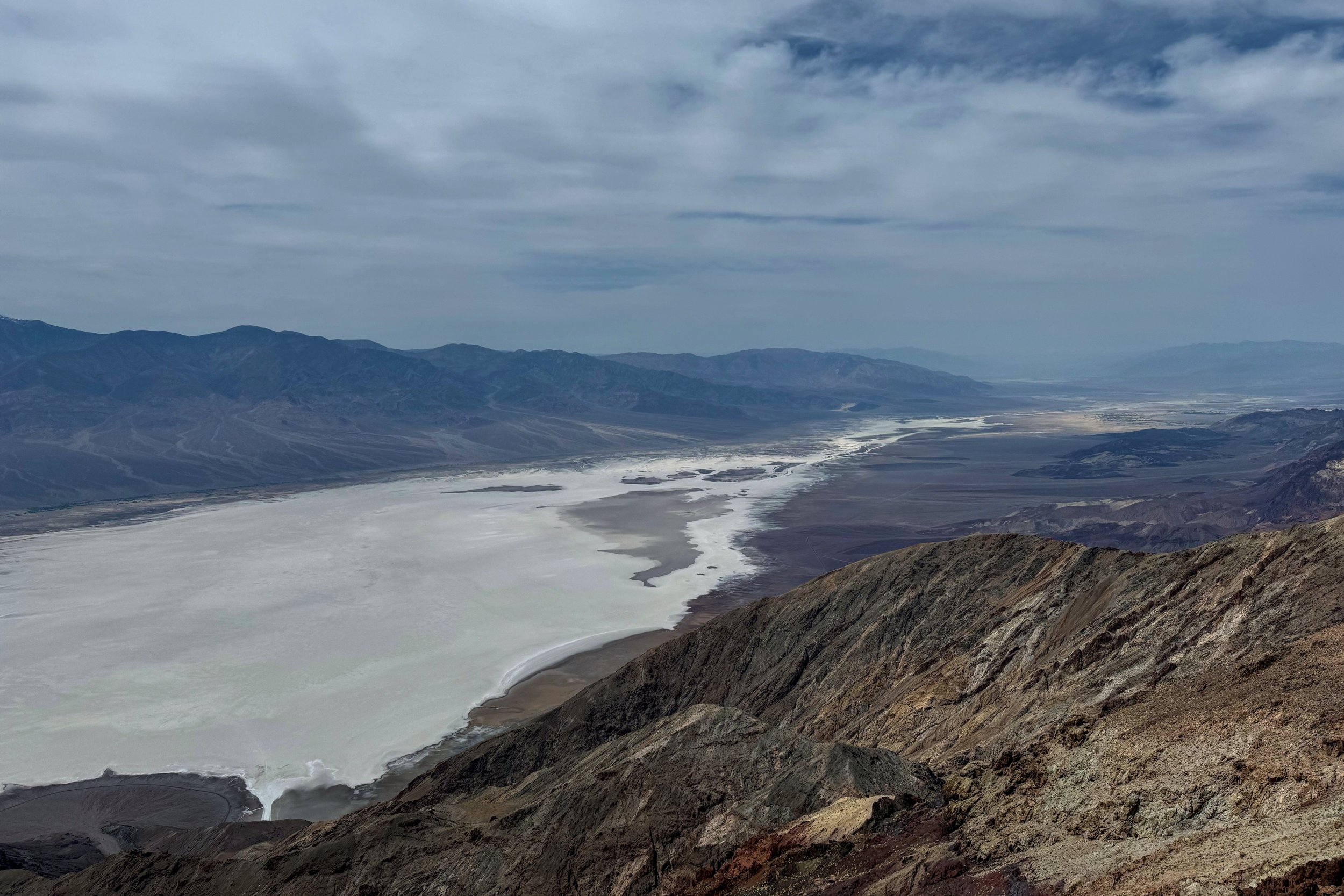
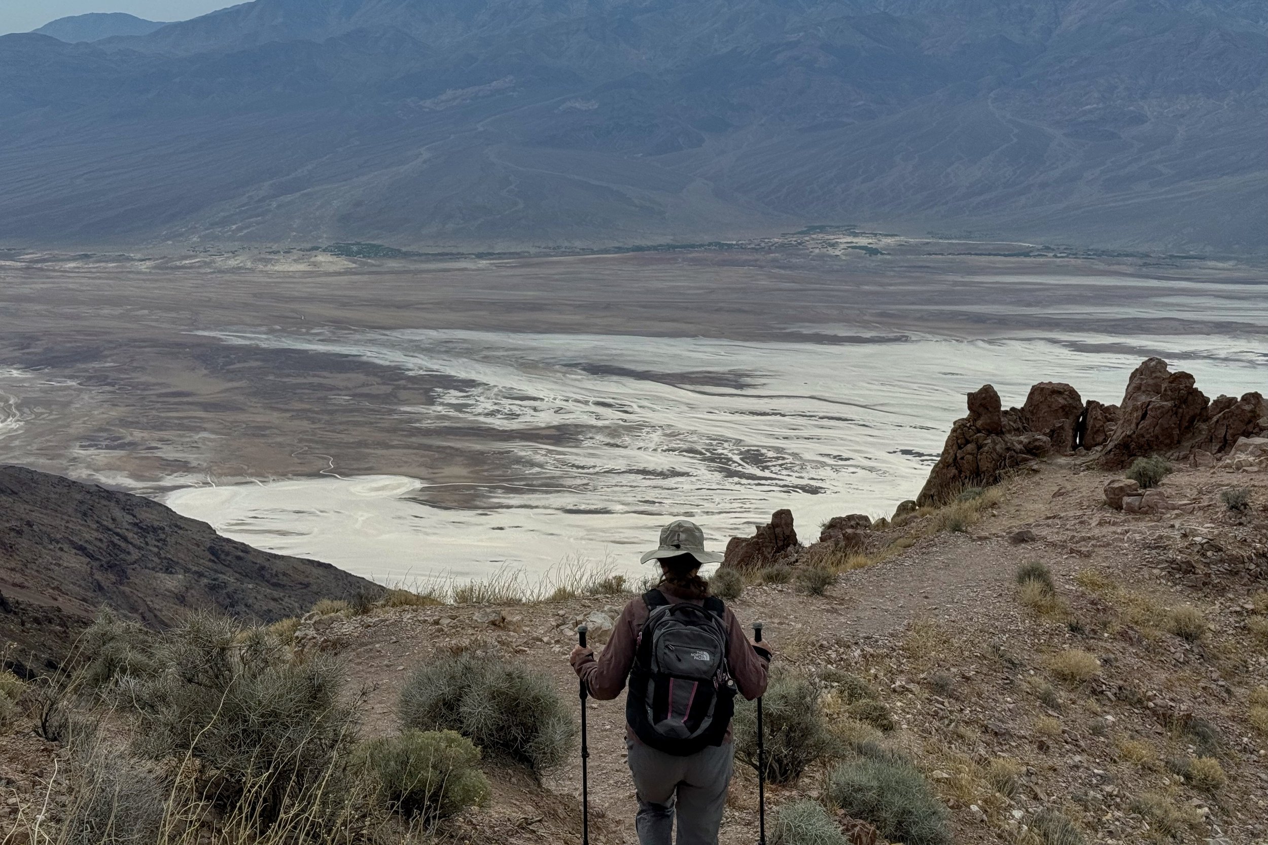
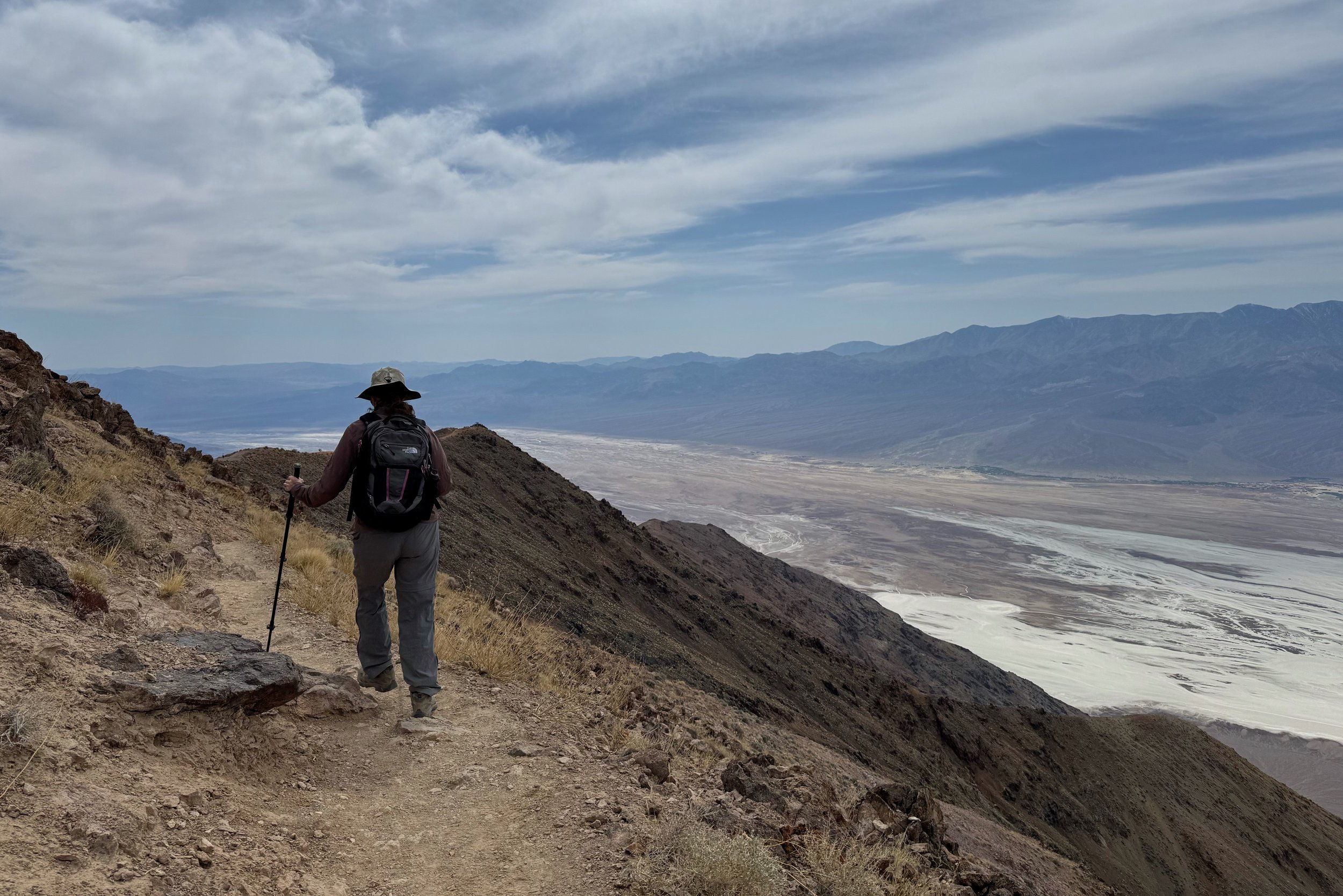
After going back to the campground to clean up, we found a restaurant for dinner. We hung out in our little trailer that night, since the dining hall was once again filled with the young campers.


