Egilsstaðir to Húsavík, 19 Aug 2026
After three nights in Egilsstaðir, we hit the road to Húsavík. On the way, we went to Vatnajökull National Park and saw a horseshoe-shaped canyon, basalt formations of all sorts from volcanic crater plugs to a cave, and a couple of waterfalls, one of which is the highest in volume in Iceland.
Our last morning in Egilsstaðir meant our last shared breakfast. Of course, there was still quite a bit of food left over, but that would be helpful for lunch. We loaded up the vans, this time with luggage, and headed out.
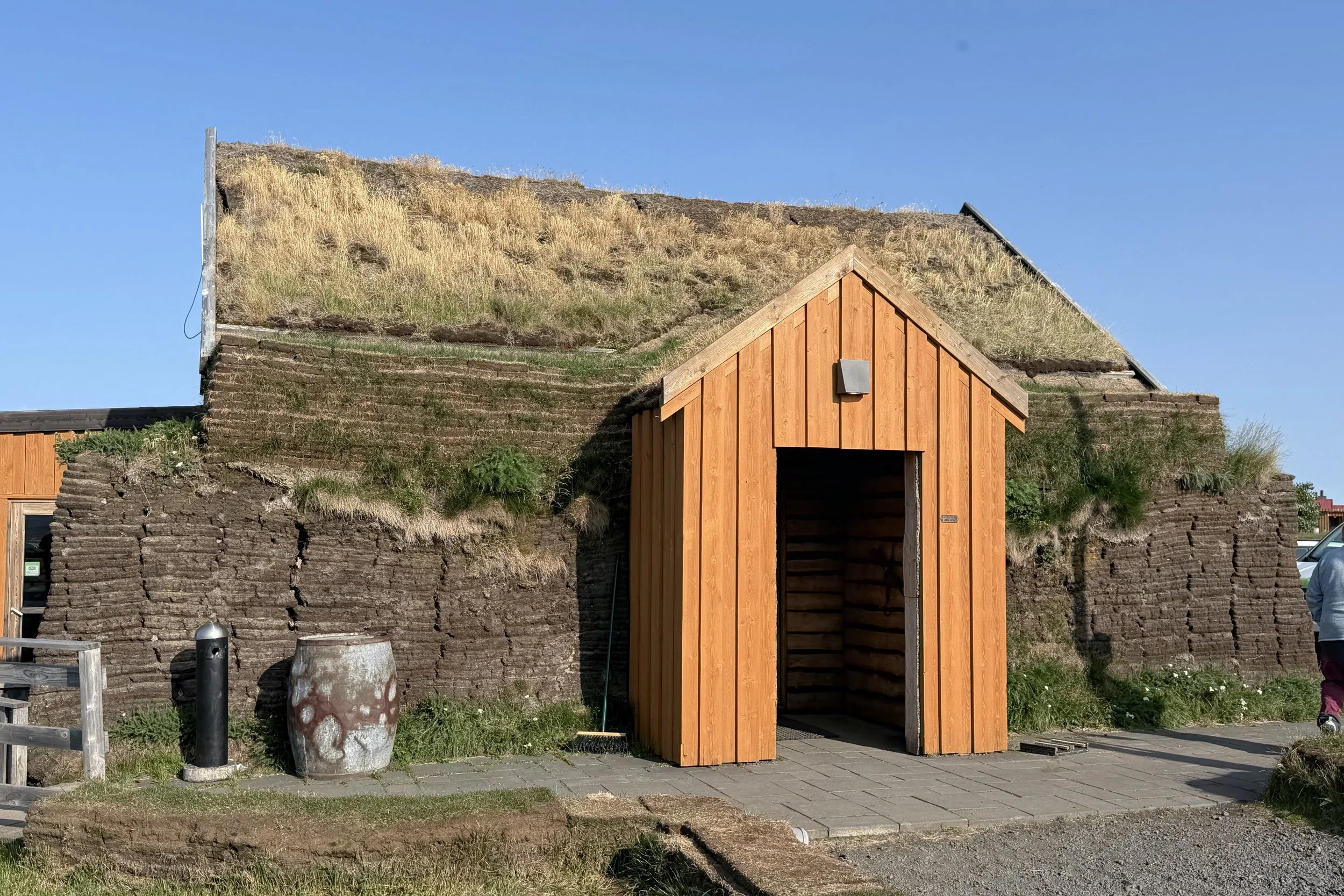
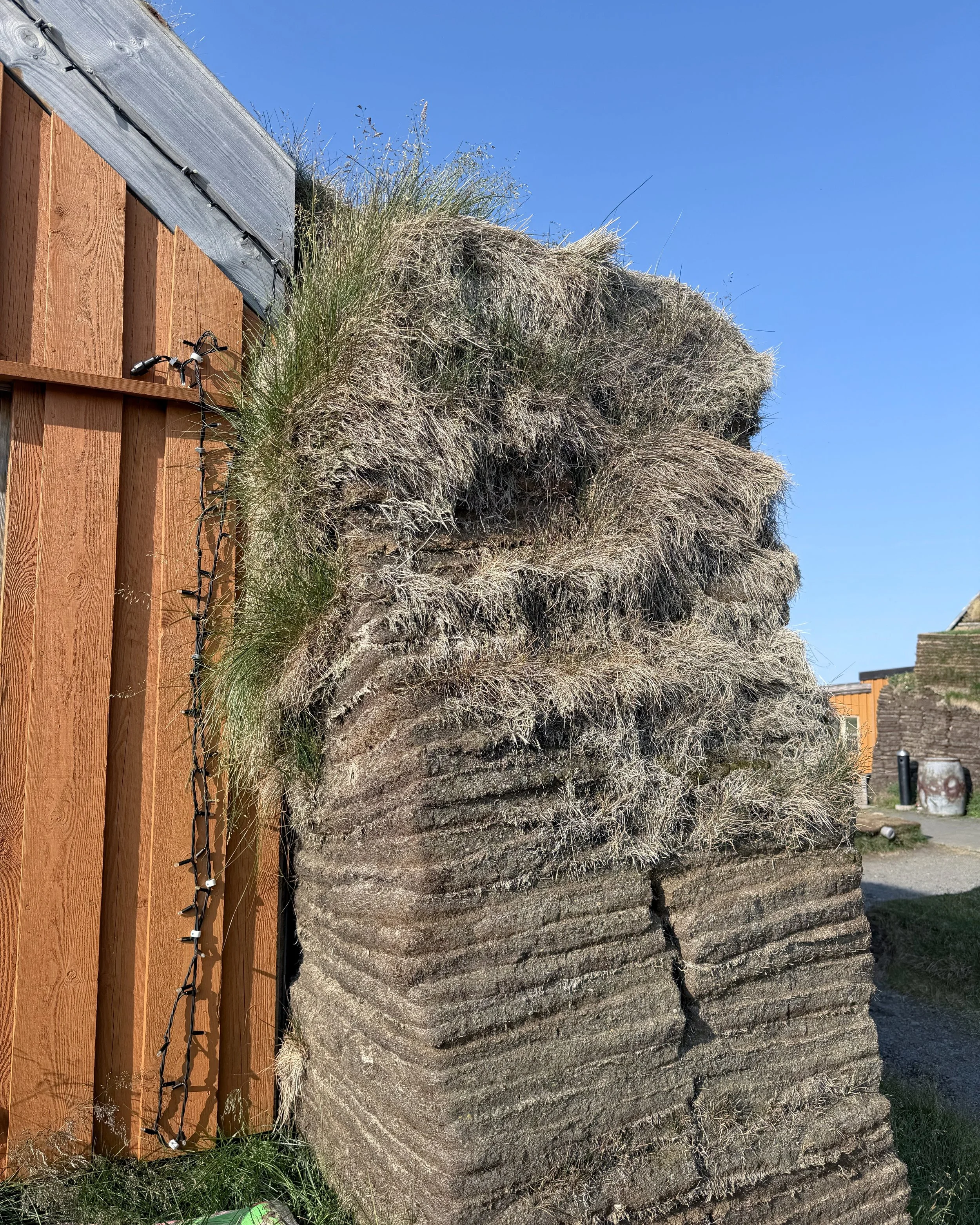
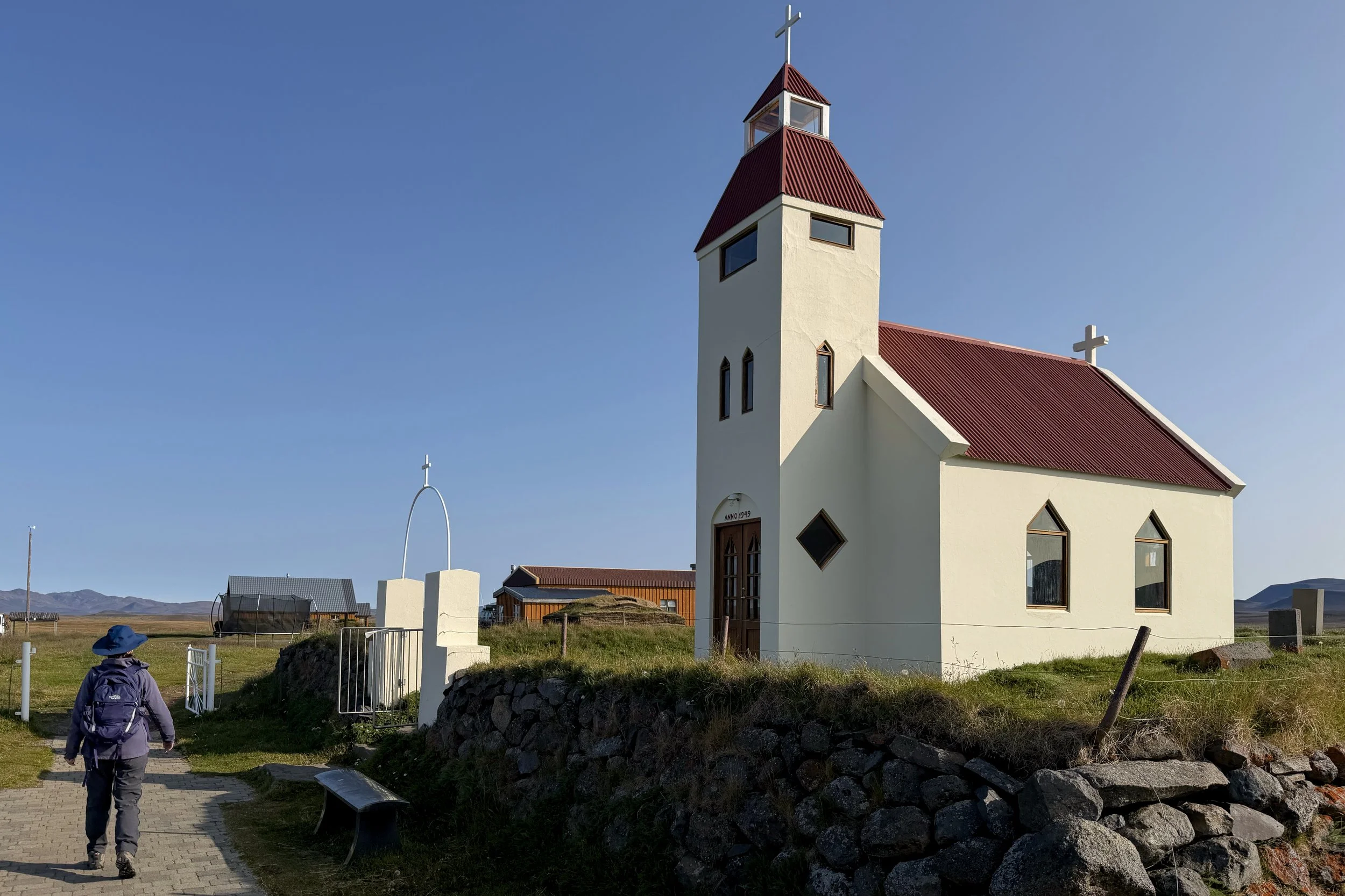
Our first stop was at Möðrudalur Farm & Church, a homestead which, at about 1,500 feet, is Iceland’s highest inhabited farm. When the Ring Road was rerouted about 25 years ago, it became more isolated, so since then it has invested in tourism infrastructure. We were hoping to buy lunch supplies there, but unfortunately it was just a café. Our group leader somehow managed to procure a loaf of bread, and we figured with all the breakfast leftovers, we could make things work. We walked by the church, built in 1949. It had a small pump organ that we could see in the window, as well as stairs that led to a loft for the church’s bells.
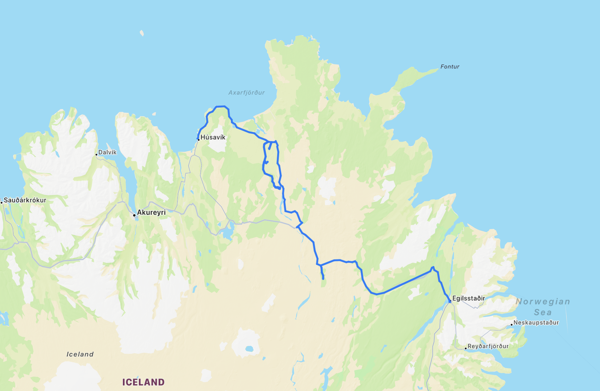
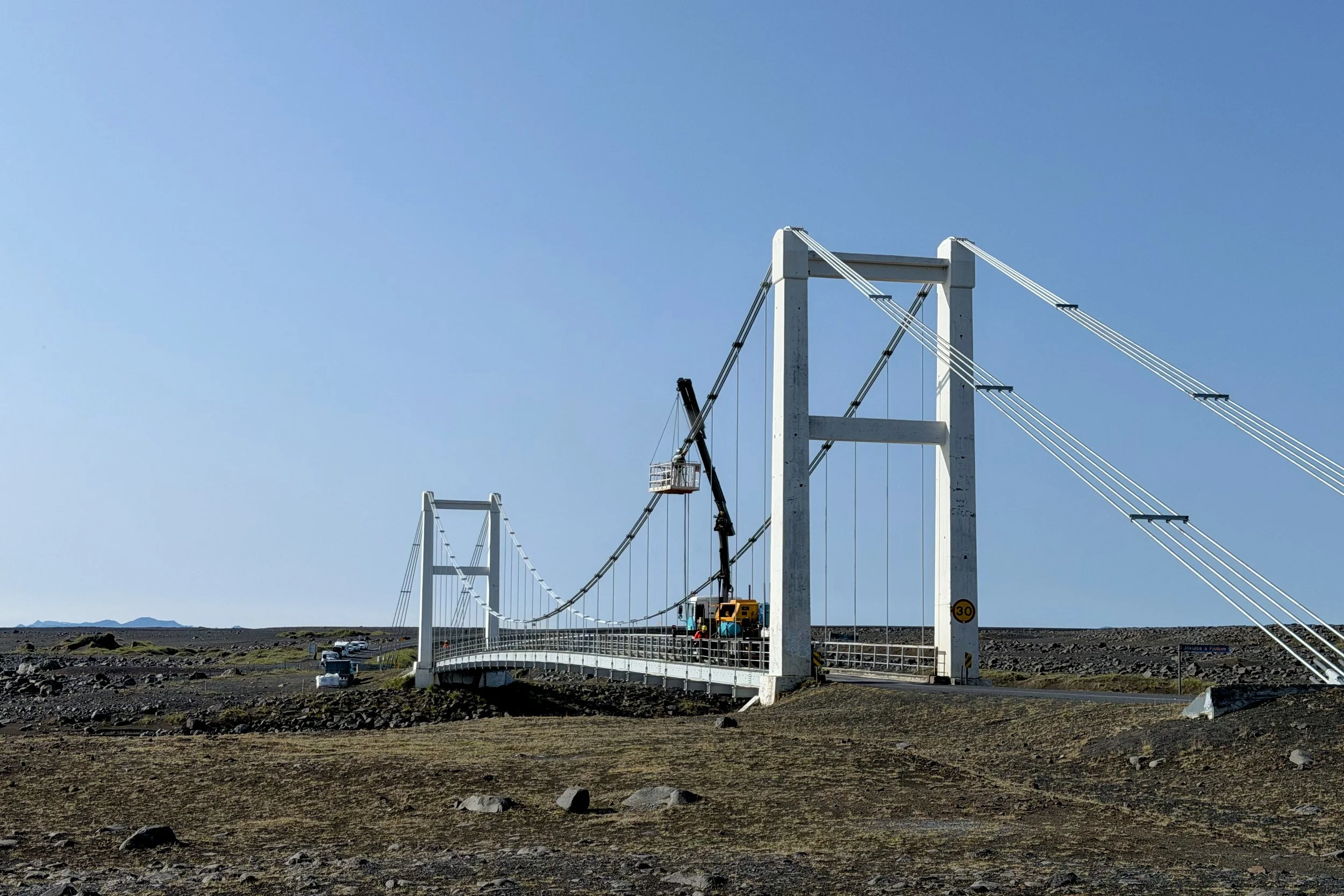
With that, we started heading out to Dettifoss. When we were close, we needed to cross the suspension bridge over the Jökulsá á Fjöllum River, but there was a line of cars and a cherry picker in the middle of the bridge. As it ends up, work was going to last for a bit over an hour before we could cross and go up the west side of the river, so we looped around and went up the east side. It was a long, unpaved road, and took us quite a while before we got to the next bridge to the north. With relief, we saw that bridge was open.
Ásbyrgi Canyon
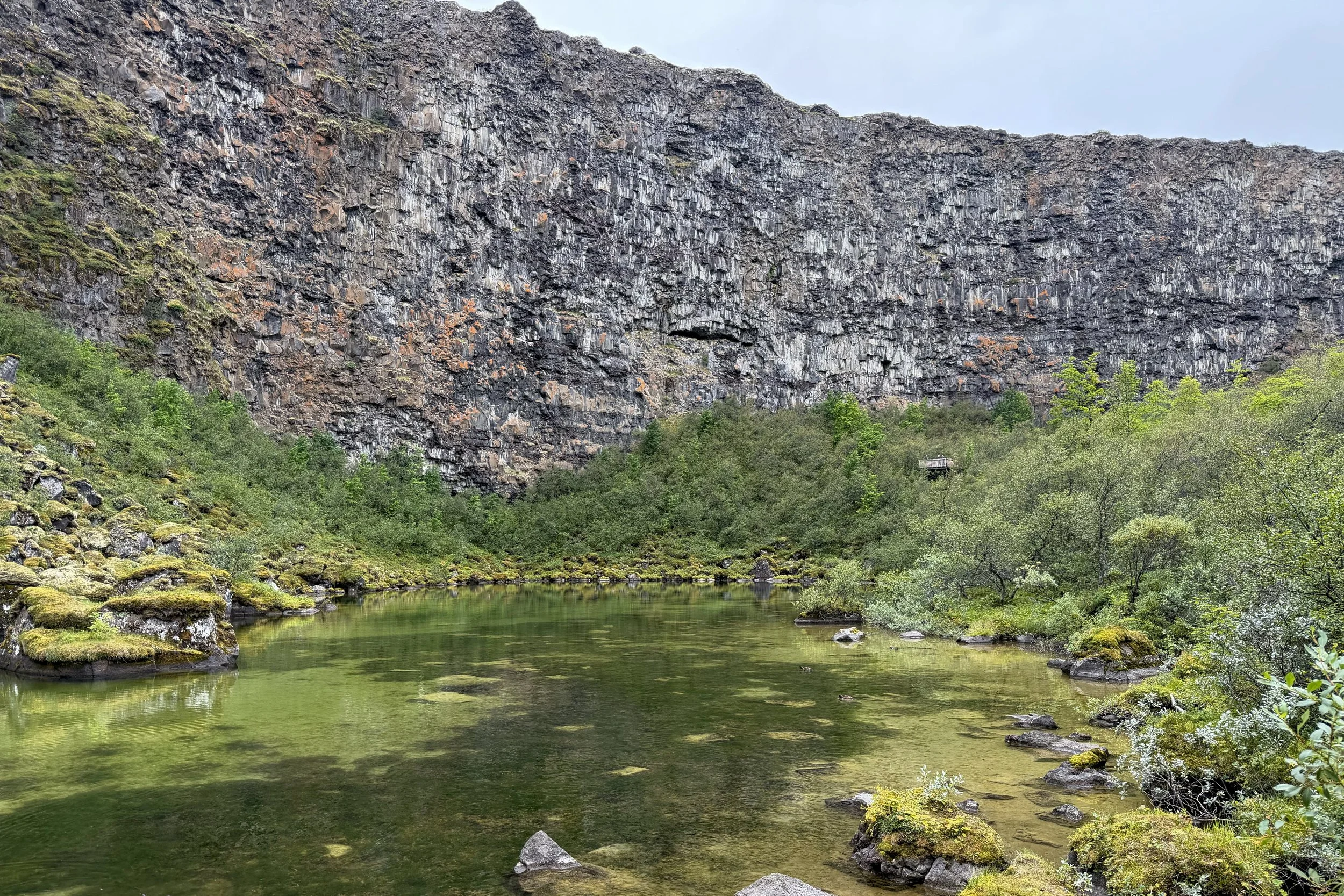
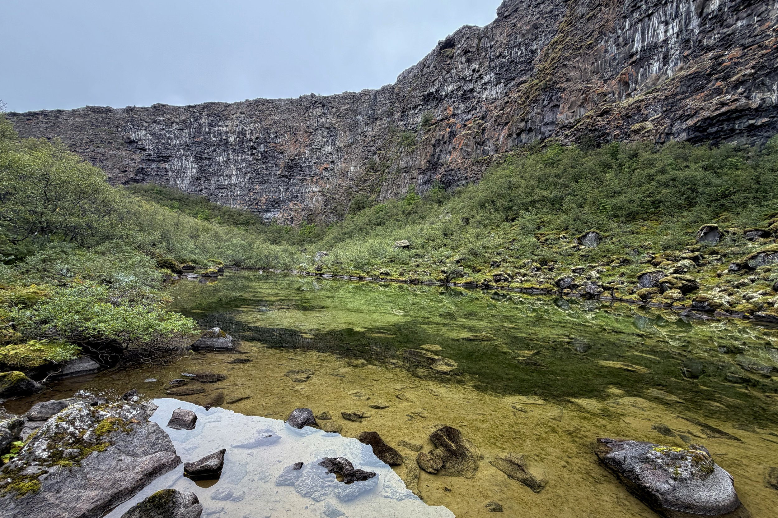
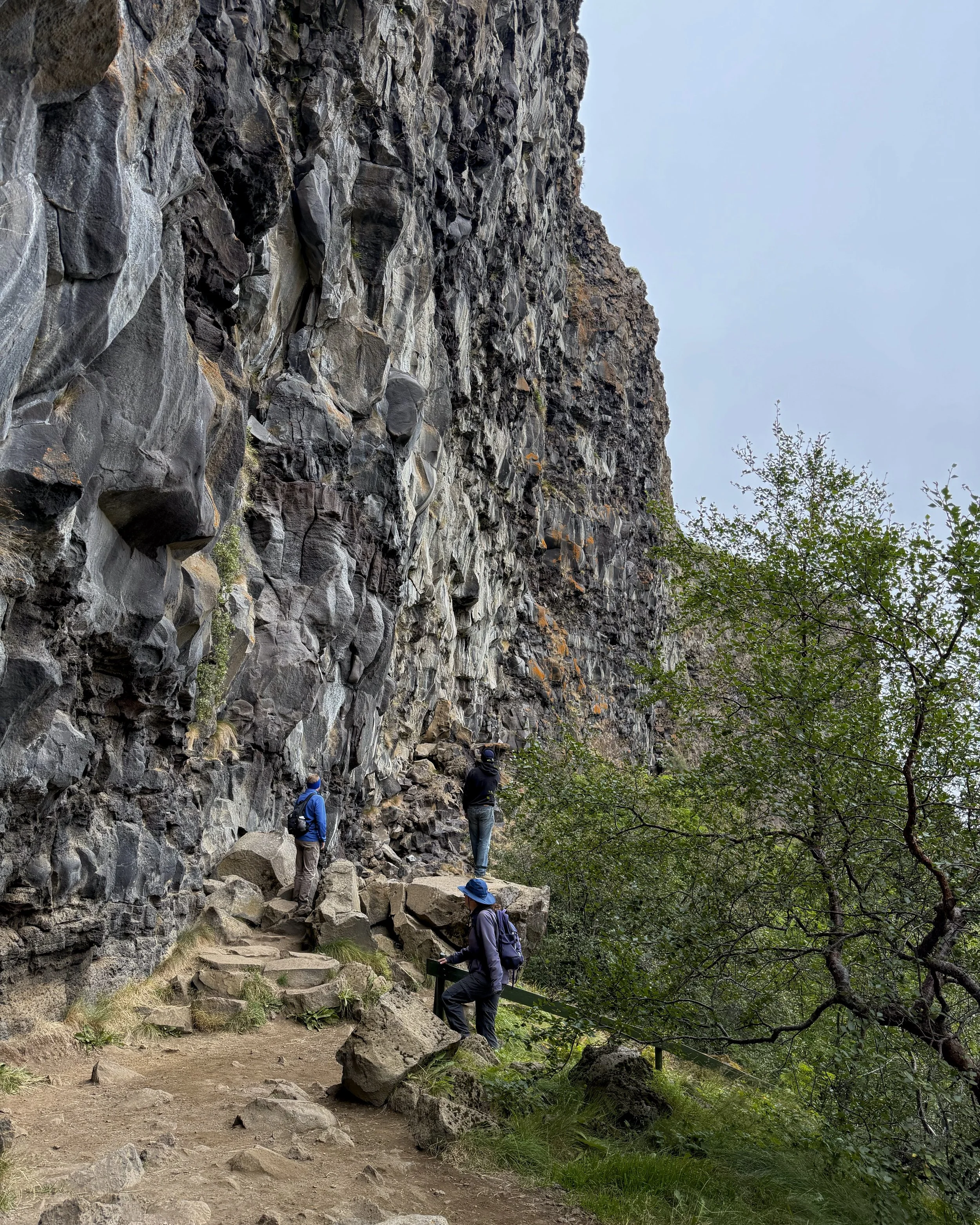
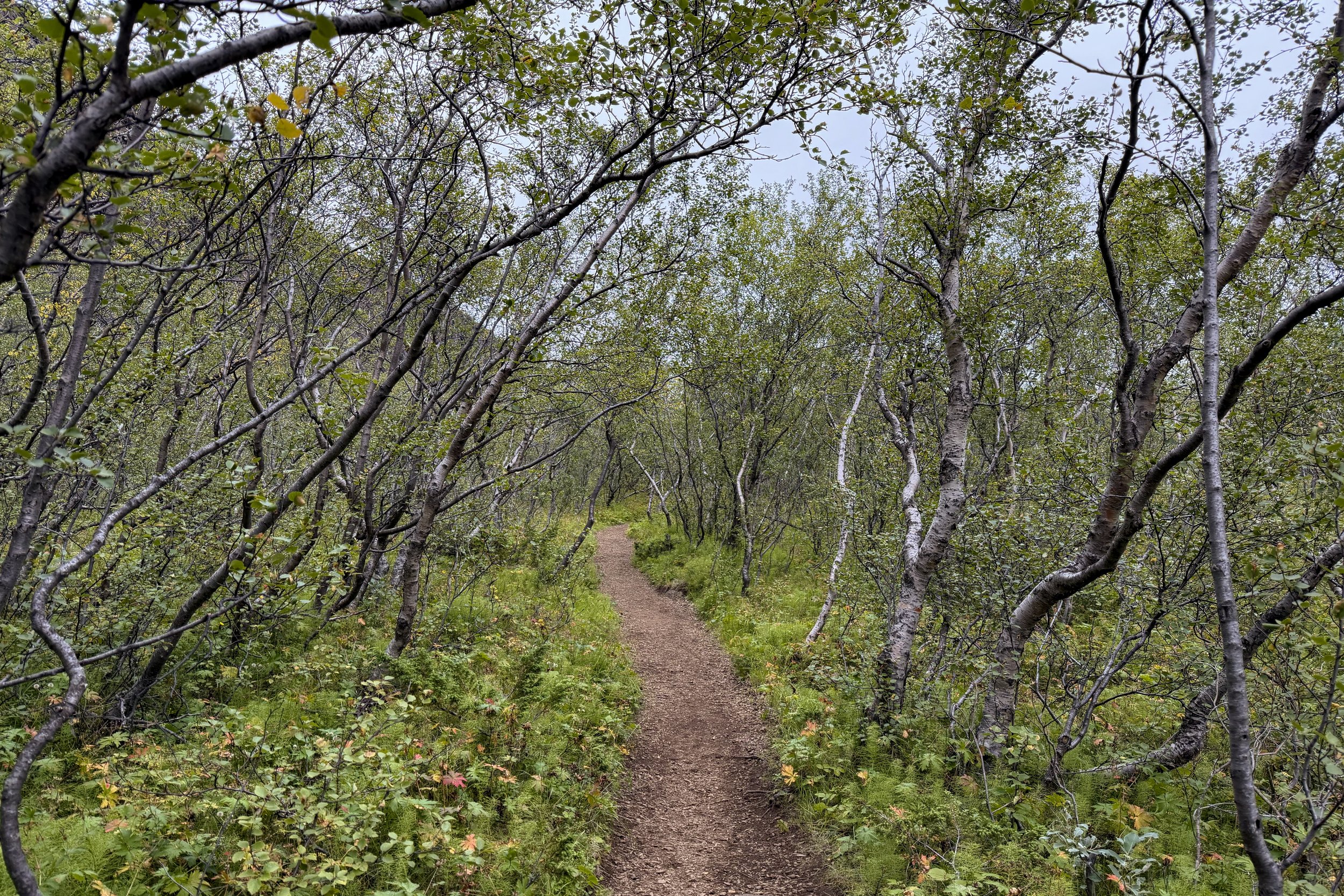
Because we were going along the Jökulsá á Fjöllum from north to south instead of the other way around, we did our three stops in Vatnajökull National Park in reverse order. The first one was Ásbyrgi Canyon, which is made of columnar basalt shaped like a horseshoe. It is believed to have been formed thousands of years ago (which seems pretty recent in geologic terms) by floods. It’s quite large, making the 300-foot cliffs seem shallow.
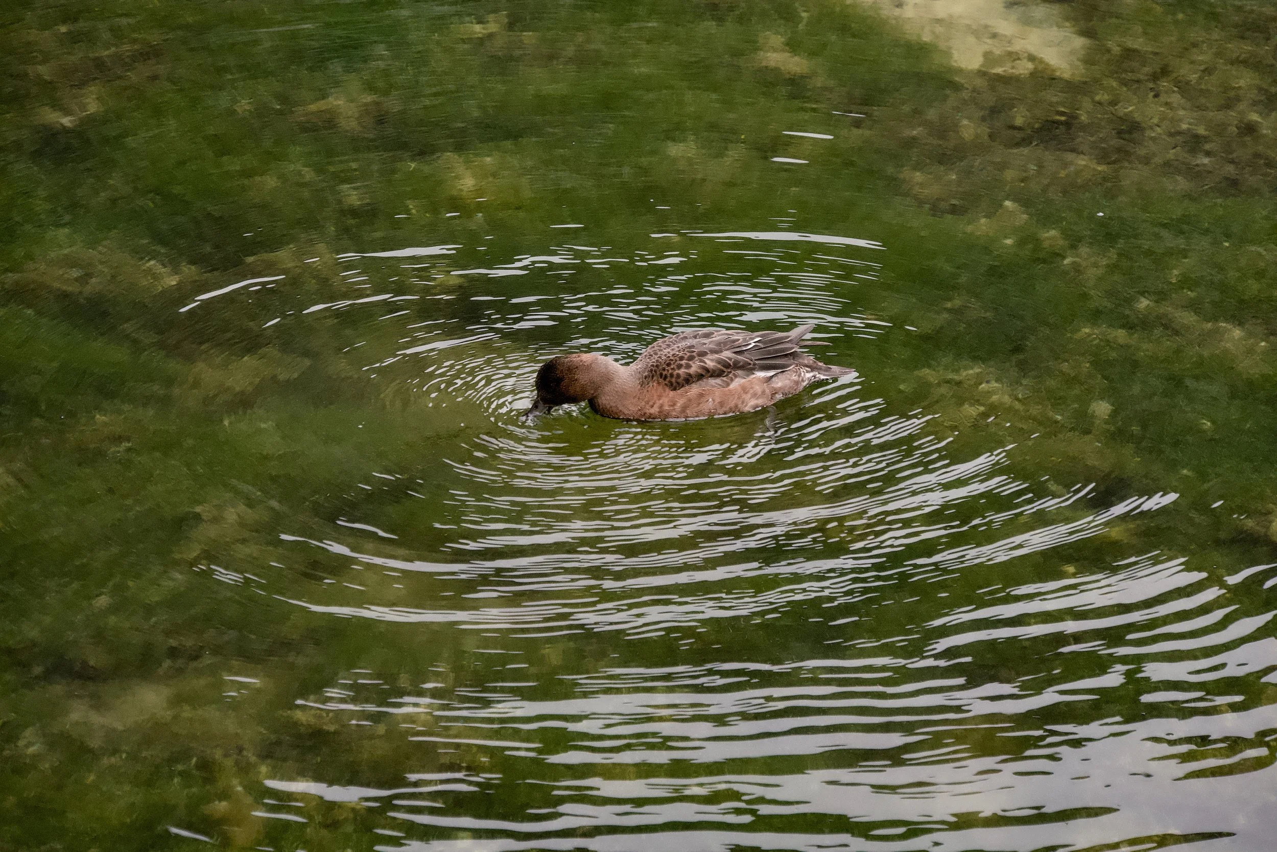
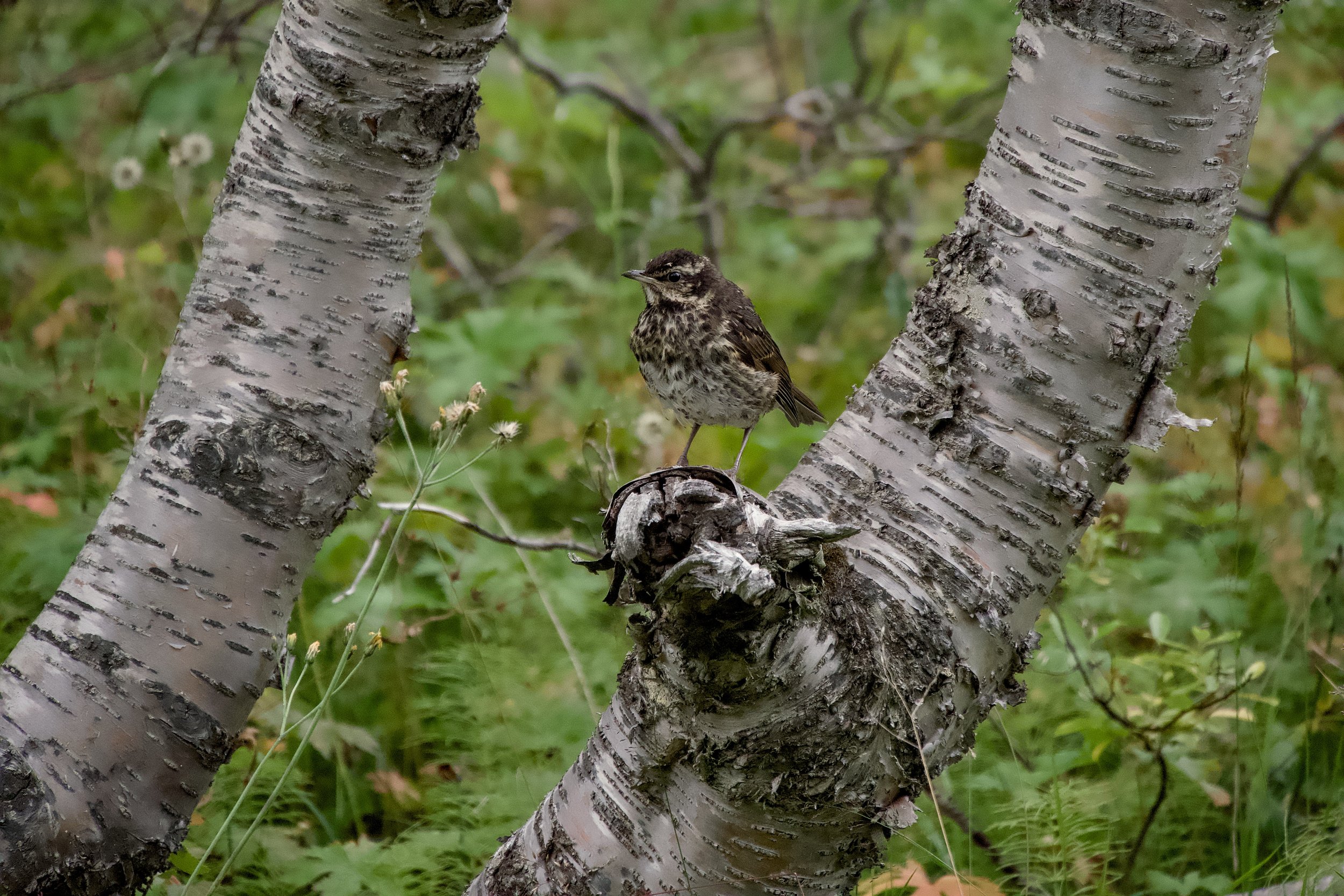
As we were walking around, we saw a lot of tasty bilberries (similar to huckleberries), and most people ate quite a few. I also saw a Eurasian wigeon and a thrush.
Hljóðaklettar
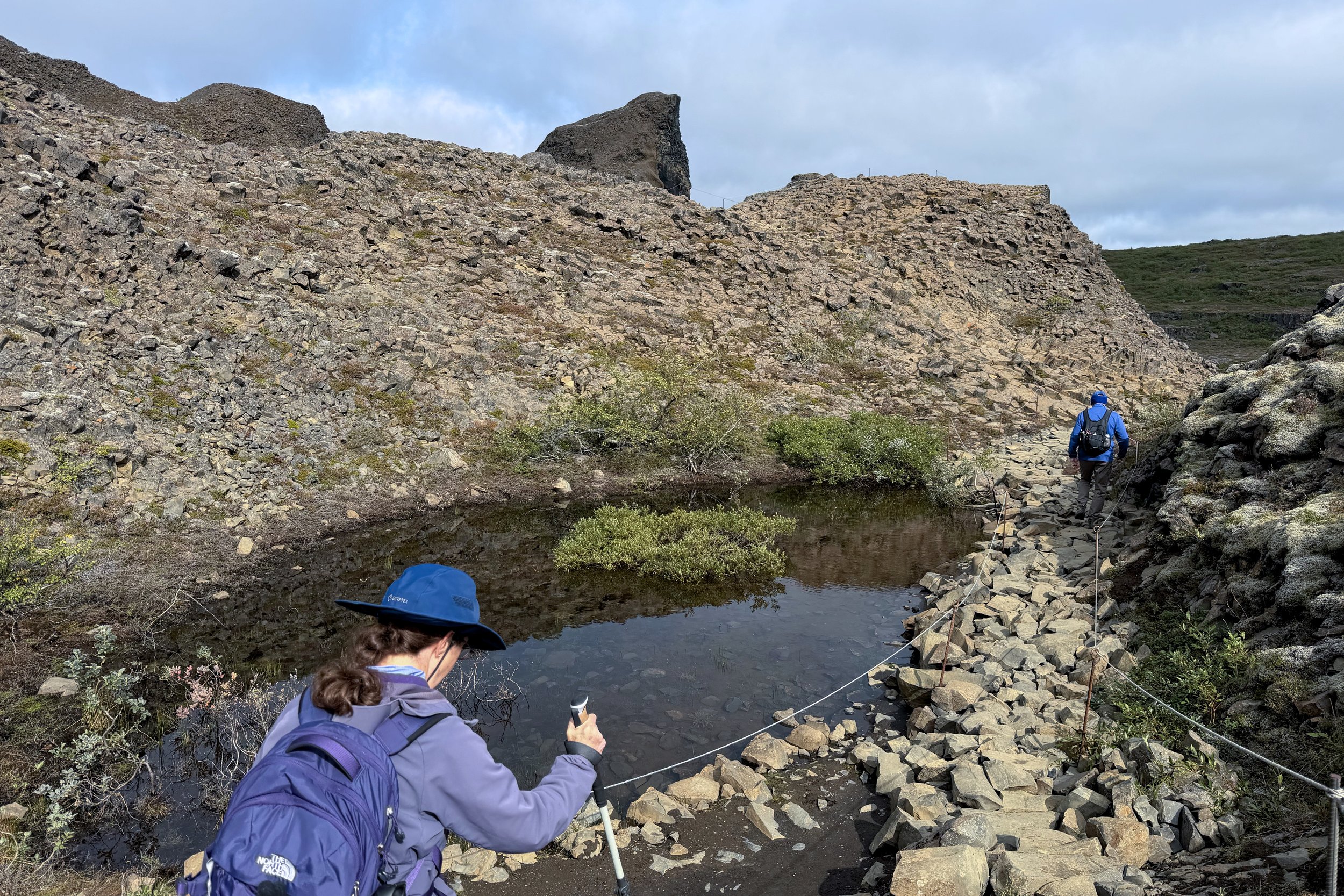
We continued going south along the west side of the Jökulsá á Fjöllum until we got to Hljóðaklettar. Before doing anything else, we broke out food and ate lunch. After everyone was done, we started out along the trail.
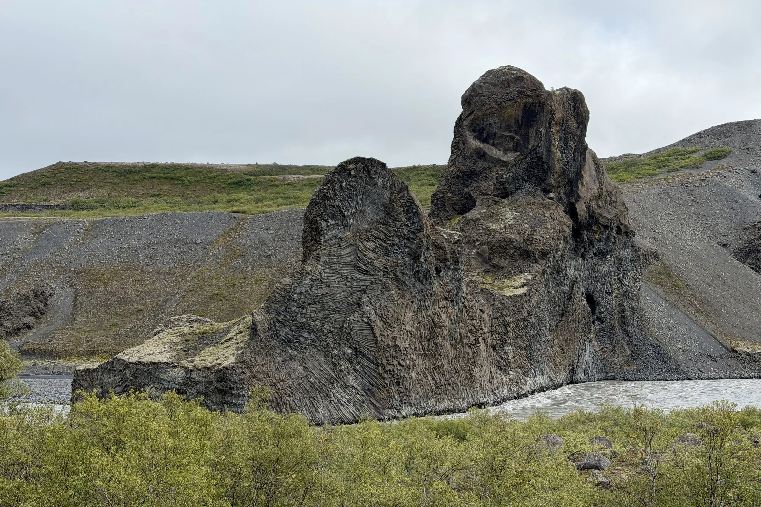
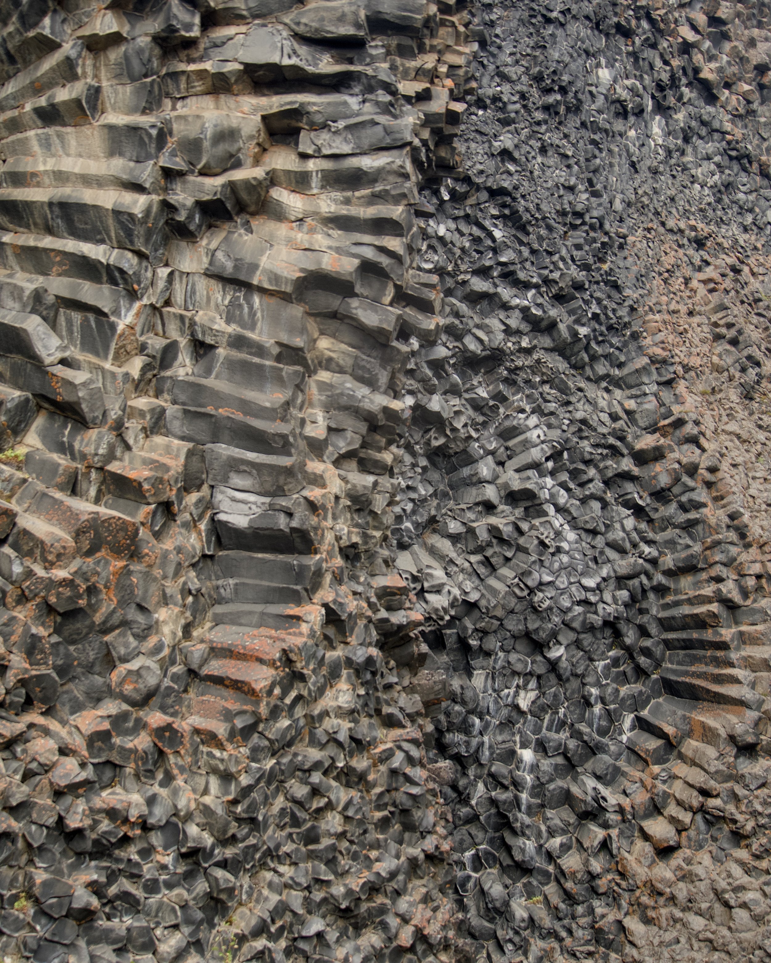
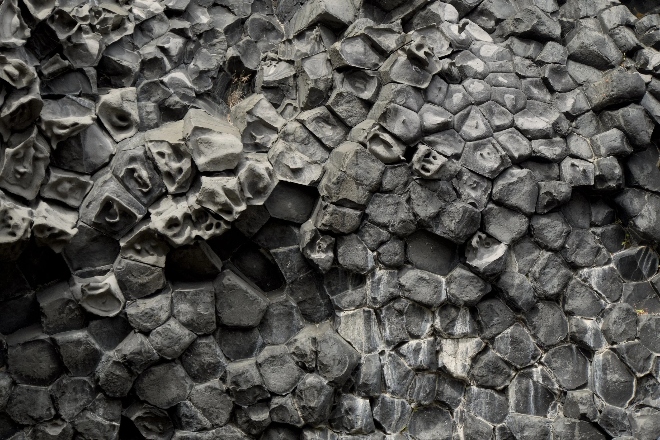
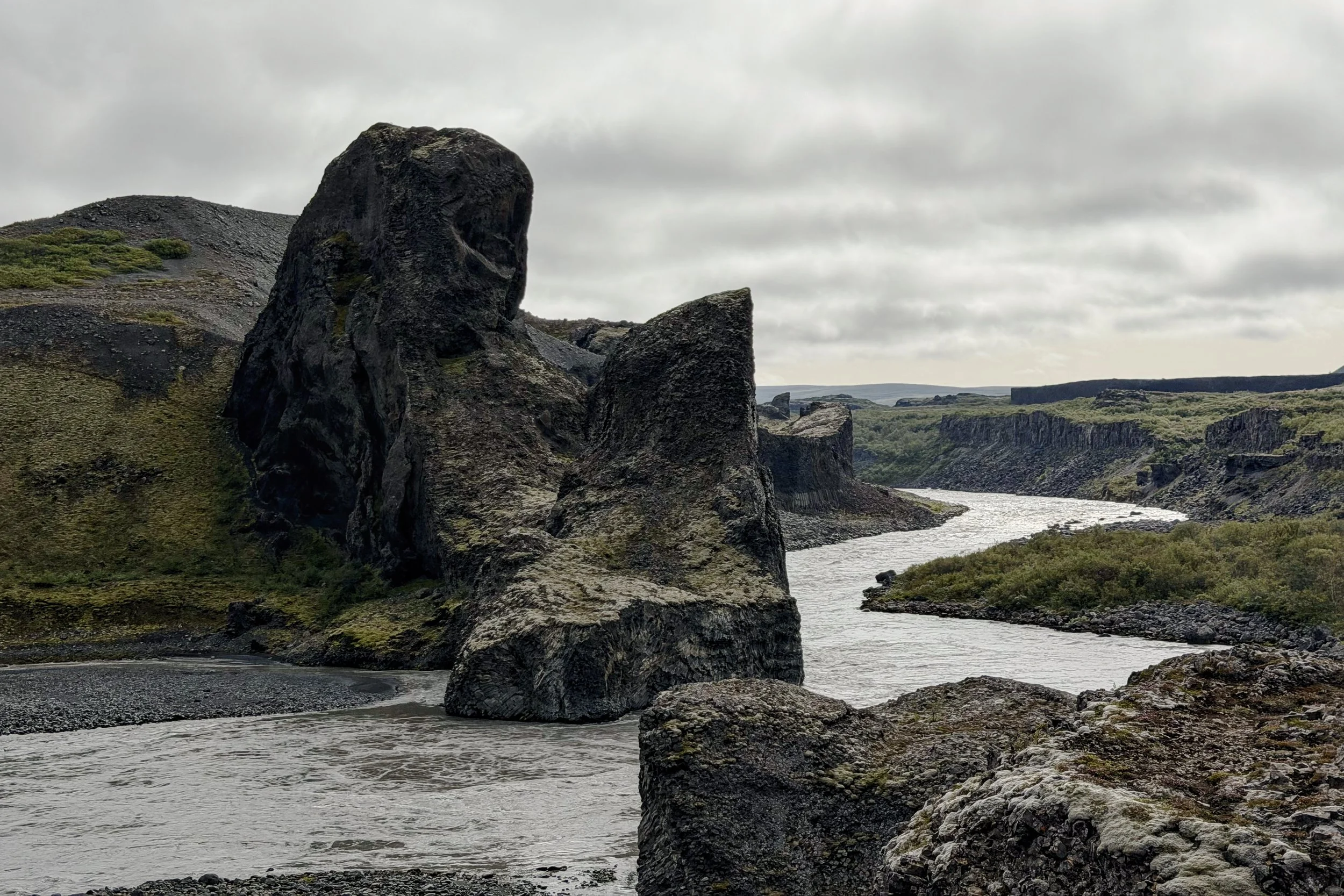
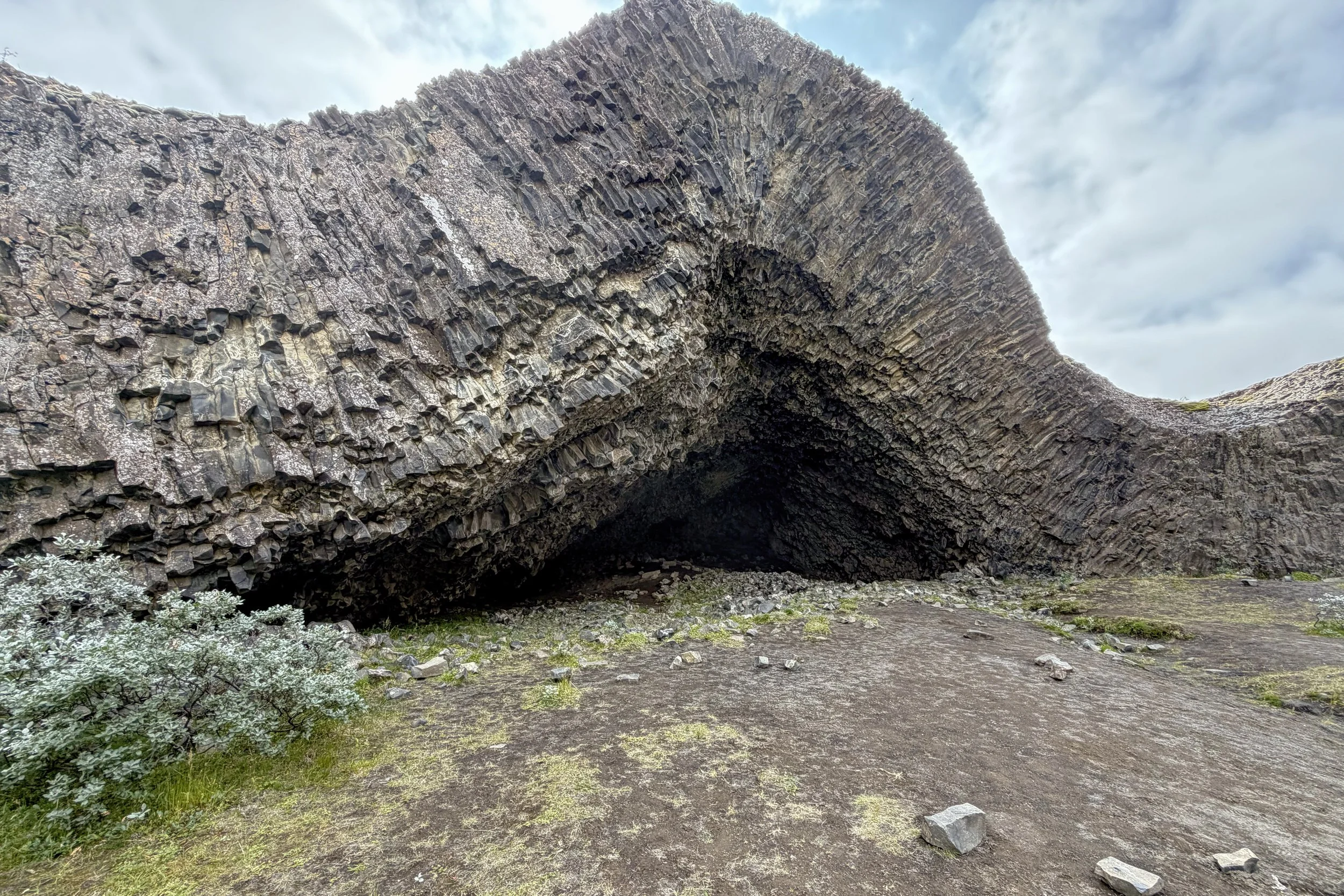
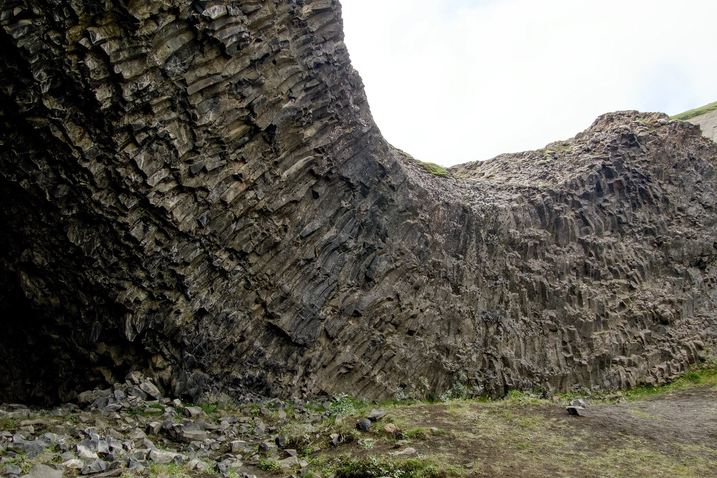
We saw many mounds of basalt, the remains of small volcanoes. Since the lava that went through vents and channels cooled into basalt, those remained after the rest of the mountain, made of soft ash, cinders, and fragments of lava, was removed by glacial outburst floods. Not only were the formations interesting shapes, but because the basalt was sitting against the irregular shapes of the crater walls, the resulting columnar basalt goes in all directions, often curving.
One striking structure was Kirkjan, a symmetric basalt arch which looks like a vaulted chapel. You are able to walk right up to and even inside it, but as you get closer, you also notice pieces of columns which seem to have fallen off the arch. I did go to the opening, and the symmetry is impressive.
Dettifoss
Back in the vans, we proceeded to our original first destination in Vatnajökull National Park, Dettifoss. The parking lot was extremely full, but we were able to find places for the vans. Since we were running late, we spent a little less time than originally planned. With a return time set, we all spread out to see what we could see.
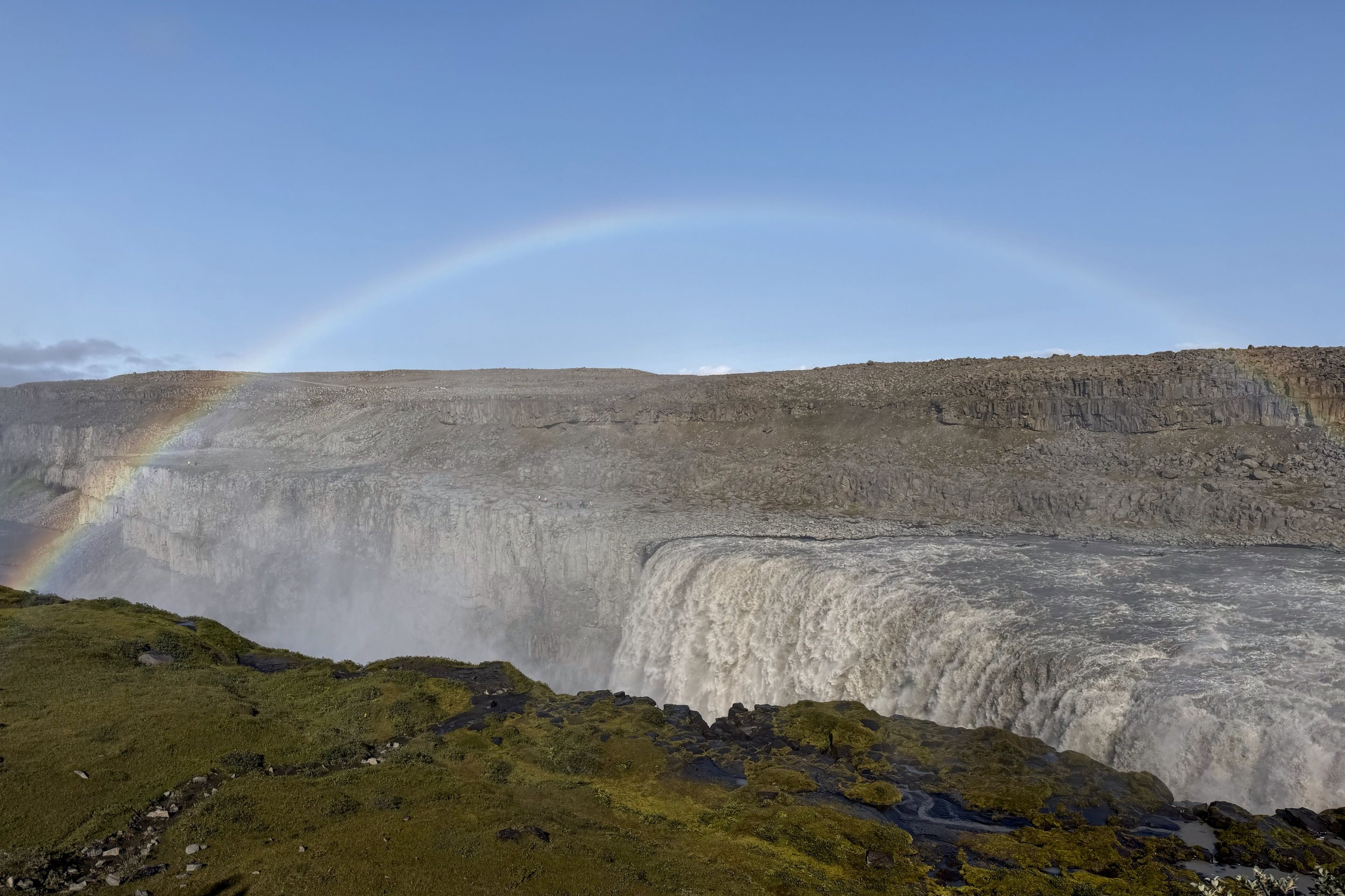
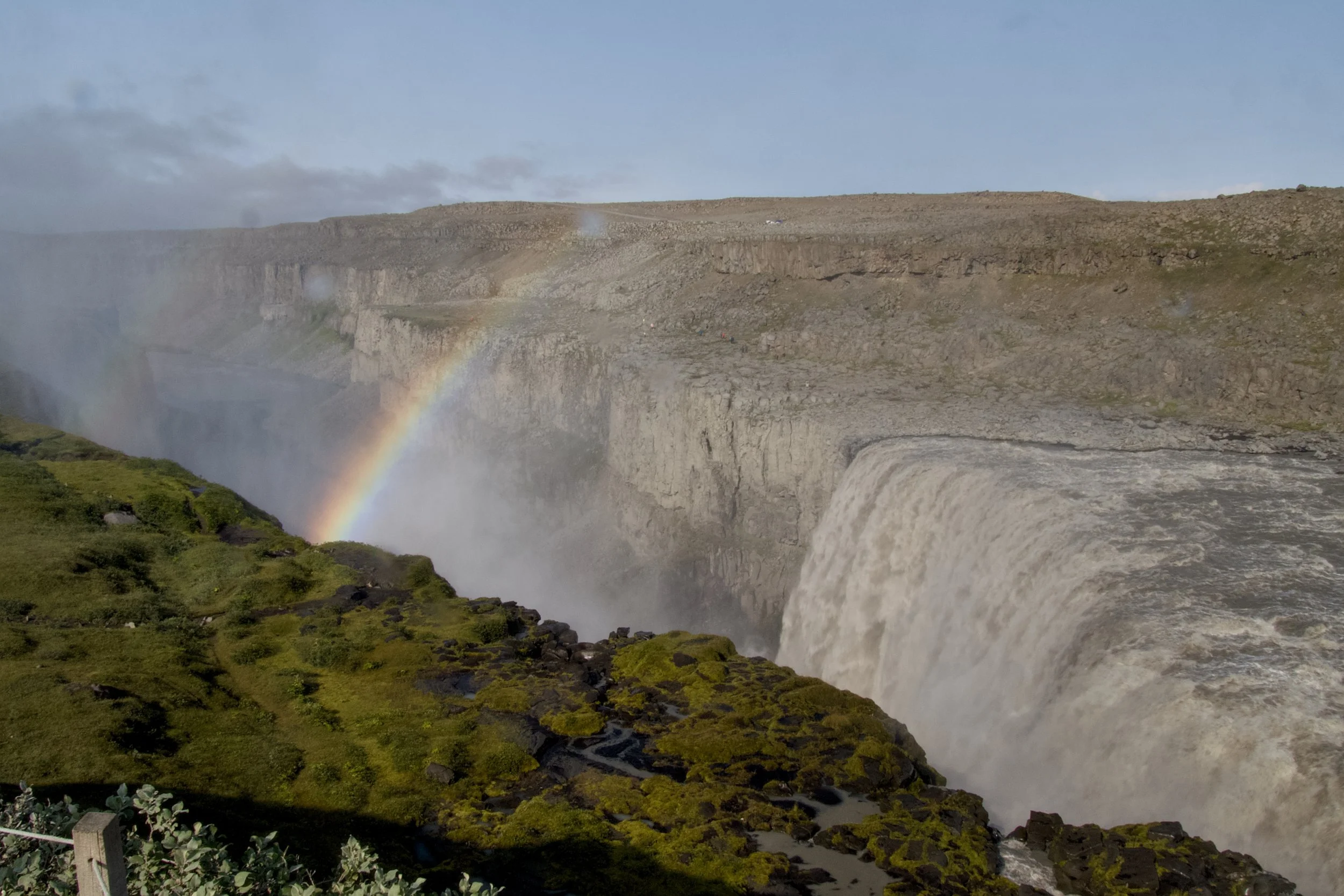
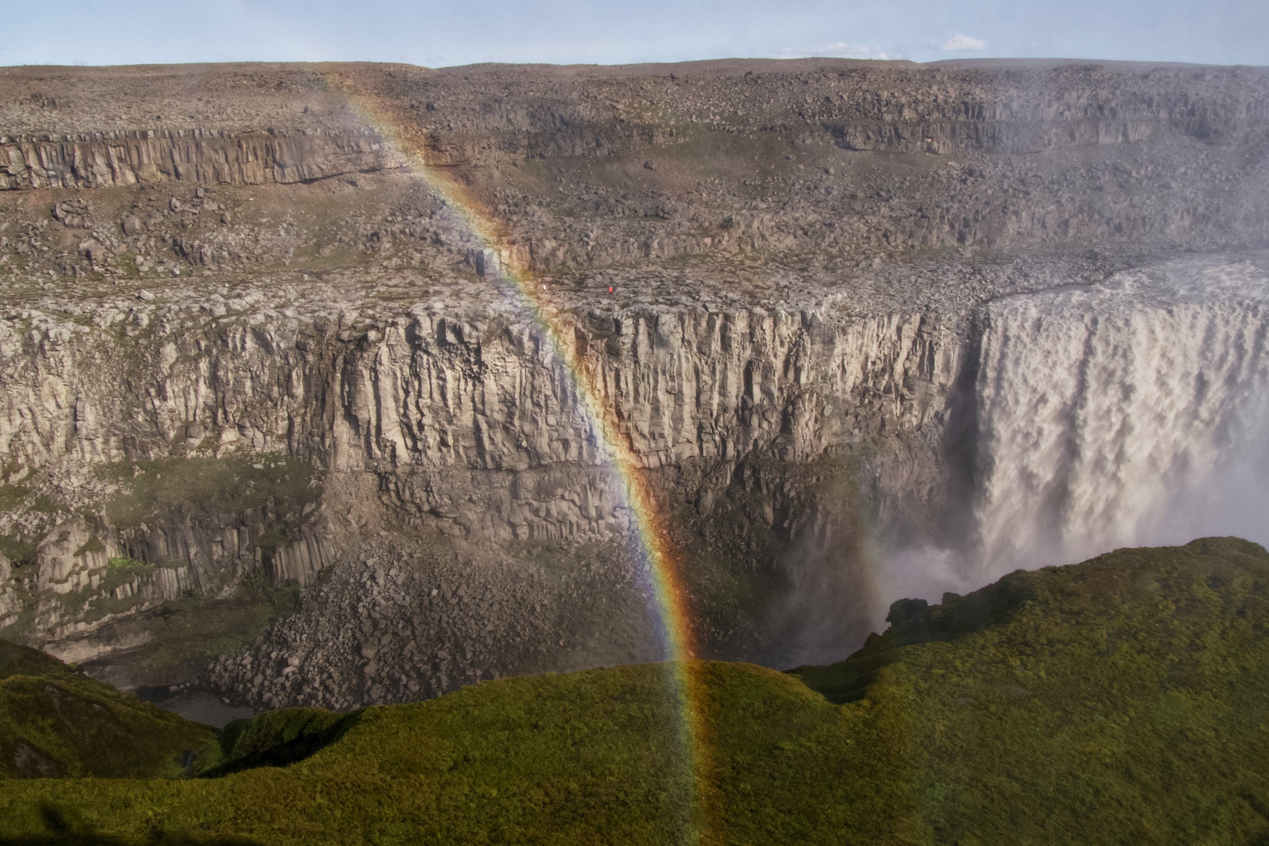
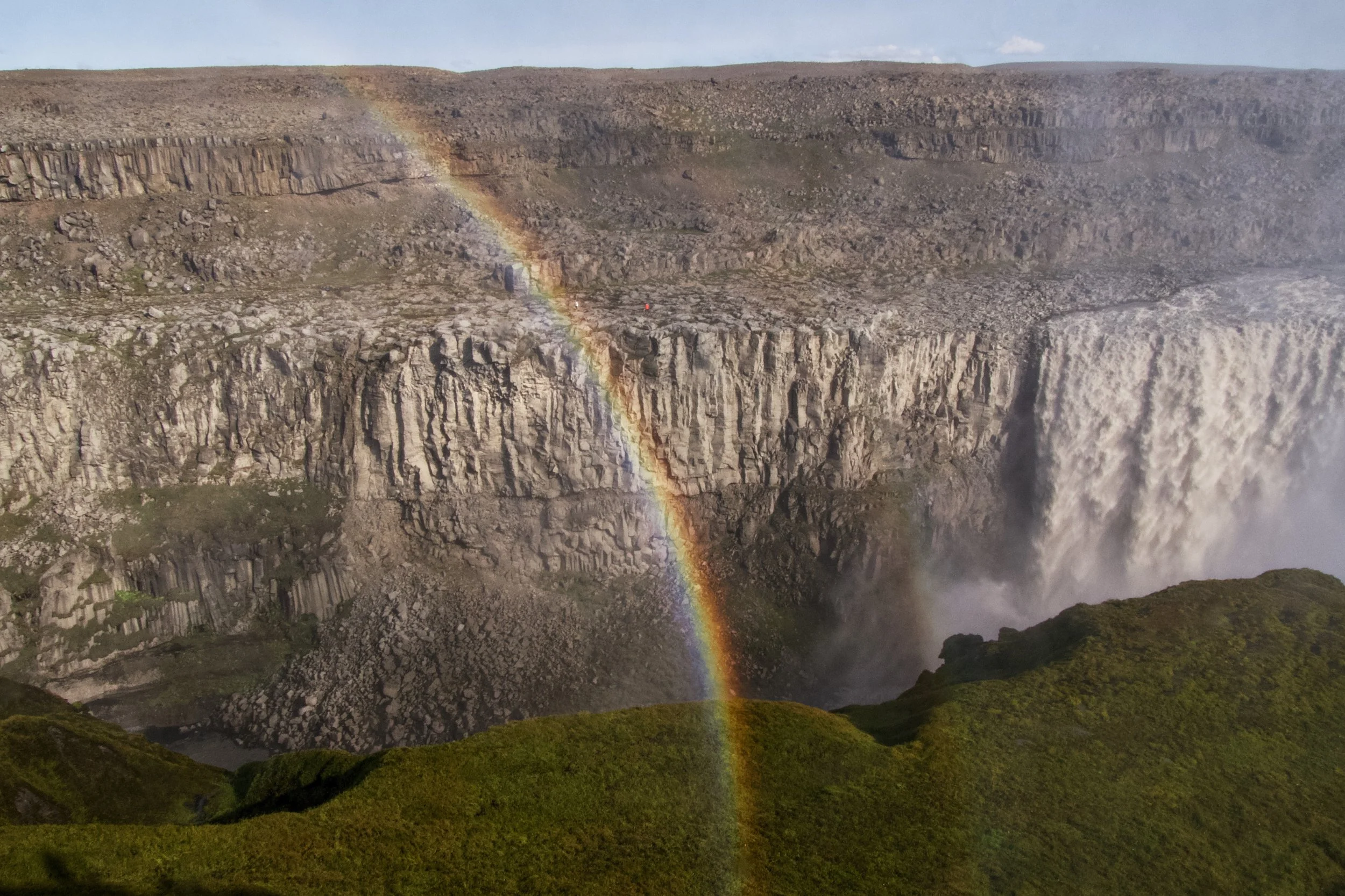
There were two main viewing locations for Dettifoss, so we chose to go to the closer one first. We climbed right to the top of the Jökulsárgljúfur’s west rim and looked down at a huge waterfall that was set diagonally across the canyon, making it a very wide waterfall. There was plenty of mist, creating nice rainbows.
We then went to the northern viewing platform which let us see where the waterfall hit the water at the bottom. Dettifoss is considered the most powerful waterfall by volume in Iceland, and you could definitely see that there was a lot of water going through.
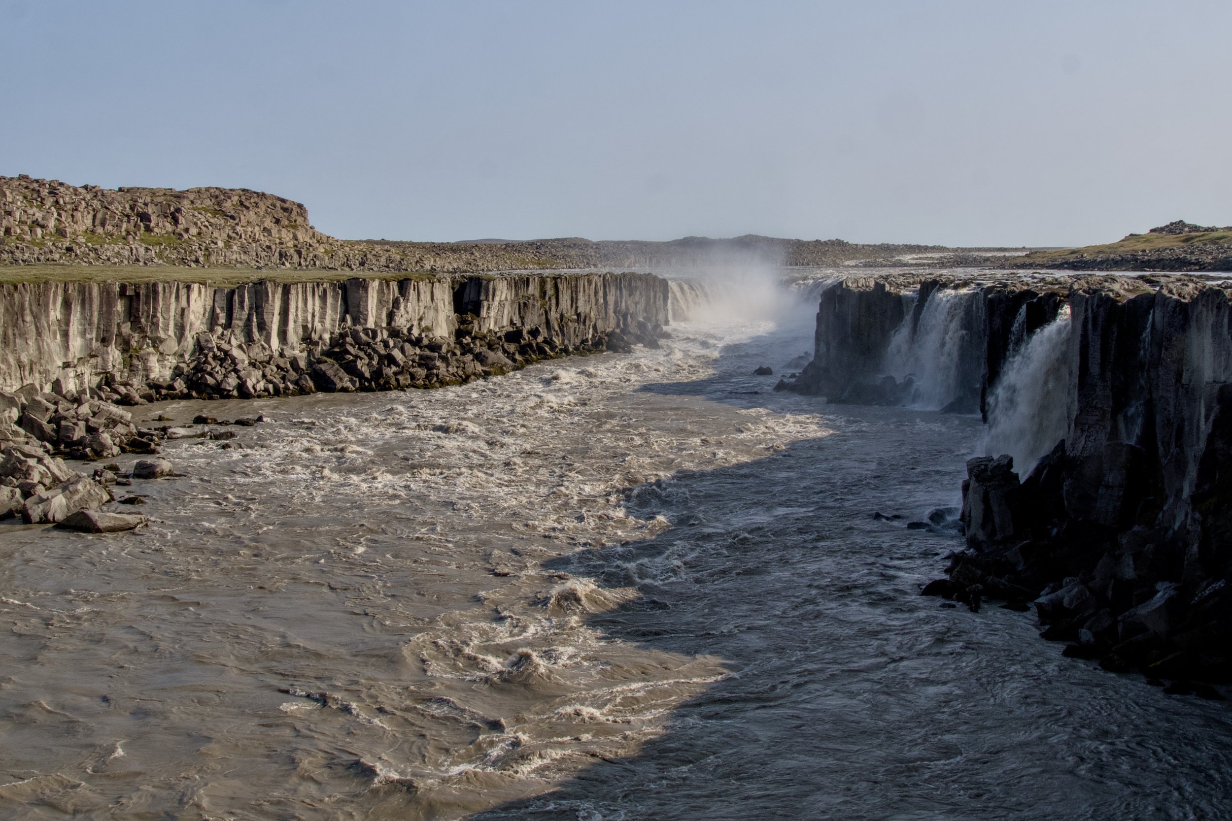
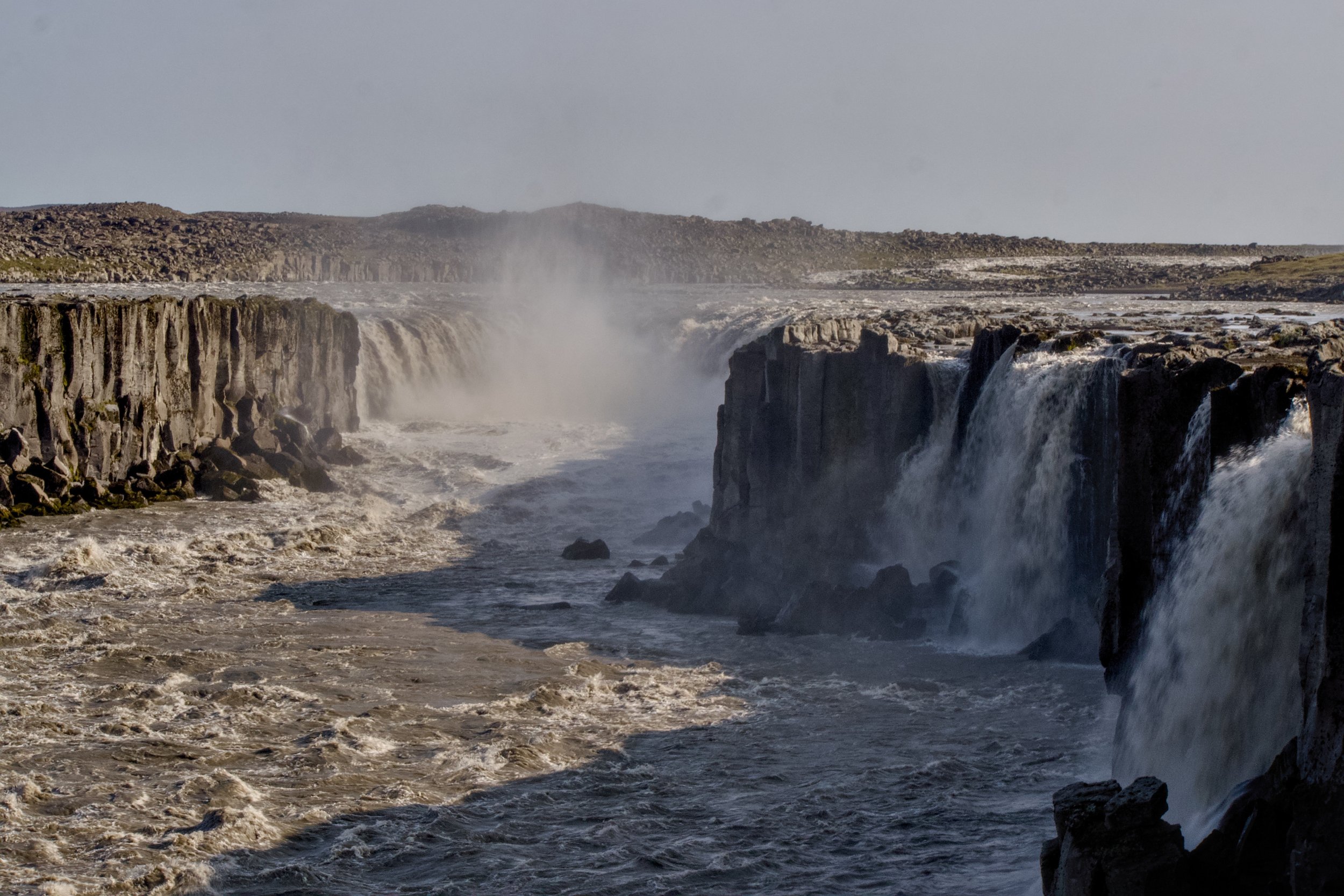
Since there was just enough time, we went to a quick place south of Dettifoss to Selfoss. The water falls over a much wider area than Dettifoss, so it doesn’t look as chaotic. We could see a long segment of the falls that went along the west rim (the side we were on), but couldn’t really see that in the middle of the canyon it was more of a horseshoe shape because of all the mist.
We made it back to the vans with plenty of time left, then hit the road to Húsavík where we would spend the night. After checking in, we walked a short distance with another couple to have fish and chips. All of us wanted a quiet dinner, and were all ready to relax for the rest of the evening.