

Hikes - March/April 2021
After a couple more outings on snowshoes (one at Blewett Pass and one at Stevens Pass), we went up north towards Bellingham for the first hike of the season.
The image of the hiking track shows my heart rate, so the closer to red, the higher my pulse. The graph shows our altitude (the top one) and our pace (the bottom line). It also shows both distance (white numbers at the bottom) and where we were at the various hour markers (black numbers at the top).
Wenatchee Crest Trail
Wenatchee Crest Trail—6-Mar-2021, 6.9 mi, 775 ft gain
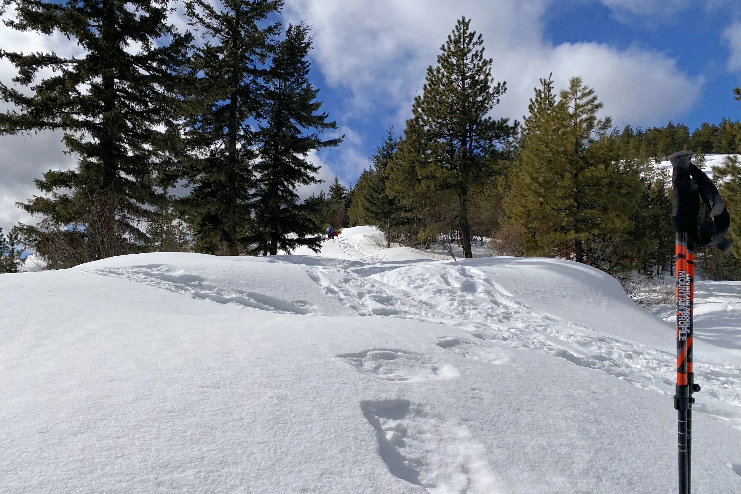
Even though it wasn't that long since we had been to Blewett Pass for our Lake Wenatchee trip, we decided to go back and try snowshoeing along the Wenatchee Crest. There were very few spots, but we were able to find the last one where we didn't have to park along the road itself.
As we were getting our snowshoes on, another couple was doing the same. We let them go ahead since we figured their pace would be faster than ours. Before long, we caught up with them; they were wondering which way they should go at the fork, so we told them, and ahead they went. Once more we caught up with them, because one of them had a broken strap, so the snowshoe wouldn't stay one. Not long after that, they passed us again; he was just walking in his boots, and fortunately, the snow was packed enough that he could do that.
Most of the views we had were of the valley with Scotty Creek running through it. Looking south, it wasn't quite clear enough to see Mt. Rainier, but we did get some views towards the Swauk Creek valley. We found a place to have lunch near where we turned around, and the return was pretty uneventful. We ran across many more people on the return trip, so while we didn't get all that early of a start (mostly because of the drive there), there were plenty of people who started after we did.


Stevens Pass Nordic Center
Stevens Pass Nordic Center—20-Mar-2021, 4.2 mi, 675 ft gain
It had been a few years since we last snowshoed at the Stevens Pass Nordic Center. Last time, we had made it out to the biathlon range, and the timing worked out that we were there as biathletes were skiing past. There were a couple of places where the trail was hard to find, so we were hoping to have better luck this time out.
After grabbing our passes, we started heading out. The Nordic Center has several snowshoe trails which can be linked together to make a longer hike. The same is true for cross-country skiers. We started on the Hobo Hop, then joined the Clickity Clack, the combination which took us through the forest.
We crossed the main skiing line, looking for Coal Burner along Mill Creek. We had trouble finding the trail, so wandered around quite a bit, trying to match the skiing trails we saw with our map (we didn't have live maps on the phone). We did that for a while, then decided it was time for lunch.
Having thought that if we could find the Steppin' Stoker on the way back, that would end up being a pretty good amount of snowshoeing. We finally found Mill Creek and started following that to where we found the trail we were looking for. Once we turned away from the creek, we started trying to find the path; fortunately, there were quite a few flags to mark the trail (there weren't many if any, flags on the trails we had trouble following).
At one point, we looked up to see another snowshoer far above us who yelled down asking about the trail to get to where we were. He eventually bailed, thinking his kids wouldn't be able to do the steep trail down. As it ended up, we needed to cross a small creek, but finding no path, went back down to Mill Creek where we were able to get to the other side, made our way back towards the hill, then started going up. If you look at the elevation map, you'll see a very steep section going up just past the 3-mile mark; that's how steep it was.
We made it across the skiing trail and worked our way back to the parking lot. Indeed, we were fine not making it to the biathlon range.


Alger Alp/Squires Lake
Alger Alp and Squires Lake—11-Apr-2021, 5.75 mi, 1,325 ft gain
With the snow getting iffier, it was time to switch to hiking. Early in the season, we've been sticking to trails closer to Seattle, since they're less muddy and slushy (Melody did a hike later in the month which still had quite a bit of snow and she needed her microspikes to keep from slipping). We decided to go north towards Bellingham, specifically near Lake Samish.
We pieced together a couple of shorter hikes, the first to the top of Alger Alp. After you get out of Squires Lake Park, the hike is along forest roads, so it was neither extremely steep nor very wet. Once we got to the top, there was a great view of Skagit Valley. We tried going a bit on some of the social trails, but the view didn't improve.
On the way up, there were a few people who went by, but for the most part, there were very few other hikers. On the way back, we saw quite a few more people. We didn't get that early a start, so it was surprising how many people were even later than we were.
After we got back to Squires Lake Park, we took a turn to head up to the beaver pond. As we got closer, the frogs got quite loud, so we knew we were near. Once we got there, a few people were milling around. We made our way out to one of the vista points, then doubled back to find a spot for lunch, looking out at the pond and listening to the frogs.
As we were finishing up, the frogs suddenly stopped. Not got quieter, but went completely silent. We didn't see any predators but figured there was something. Having packed back up, we continued to loop around the pond. Just as we were heading away from it, the frogs started back up.
A little way later we found ourselves at Squires Lake and started making our way around until we got back to the path back down to the parking lot.


